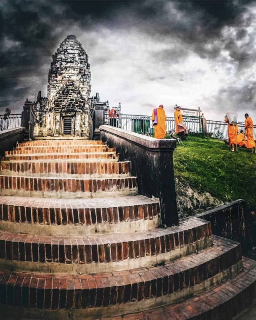
Kanchanaburi is Thailand's third-largest province, running from the river town of Kanchanaburi to the mountains on the Myanmar border. The Death Railway and the bridge over the River Kwai are why it's famous, and they're worth a day. But don't treat it as a day trip: the waterfalls north of town and the border treks are the better reason to stay a few nights.
Trains leave Bangkok's Thonburi station twice a day (about 2 hours 45 minutes, 100 THB for foreigners), and buses run from the Southern Terminal about every 15 minutes (about 2 hours). For Erawan, Thong Pha Phum and Sangkhlaburi you need your own transport.
November to January is cool and dry, and it's the only season for the big mountain treks. The rains peak in September and October, when the waterfalls are at their fullest. Floods in September 2026 damaged roads and parks, including parts of Highway 323, so check conditions before you go.
How to split your days. Give the town a full day: the bridge early, the morning train out to Tham Krasae, then Wat Tham Suea or Wat Ban Tham late in the afternoon when the climbs are cooler. Spend a second day at Erawan, arriving early on a weekday. Sangkhlaburi is about 4 hours away on Highway 323, so treat Thong Pha Phum and Sangkhlaburi as a separate trip of a few nights, timed for the November to January trekking season if you want to hike.
Good to know
- Tourist Police: 1155
- Emergency (ambulance): 1669
- Erawan National Park: 034 574 222
- Thong Pha Phum National Park: 034 510 979
- Erawan National Park guide
Kanchanaburi Town and the River Kwai
Kanchanaburi town sits where the Khwae Noi and Khwae Yai rivers meet, about two hours west of Bangkok, and it’s the obvious base for your first couple of days. The Death Railway, built by prisoners of war in 1942 and 1943, is why most people come. The hilltop cave temples around town are the better surprise: pick one or two rather than trying to see them all.



01Bridge on the River Kwai
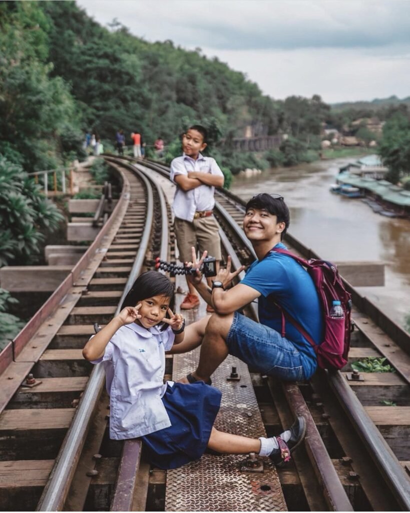
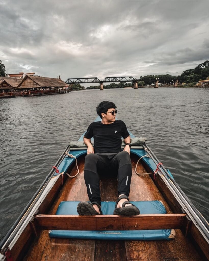
Allied prisoners of war and Asian labourers built this bridge over the Khwae Yai in 1942 and 1943 as part of the Death Railway to Burma. It’s the province’s most famous sight, so come early in the morning or late in the afternoon. Trains still use it, and you can walk across between them.
The approach is lined with cafes, restaurants and souvenir shops, which makes it an easy stop but not a reflective one. For the railway’s real drama, carry on to Tham Krasae. In late November and early December, River Kwai Bridge Week brings a light-and-sound show to the bridge.
- Attraction Type
- Historic site
- Location
- Open in Google Maps
- Cost
- Free
- Best Time To Visit
- Early morning or late afternoon
- Number
- 034 511 285
- How To Get There
- About 4 km north of the town centre



02Tham Krasae Bridge
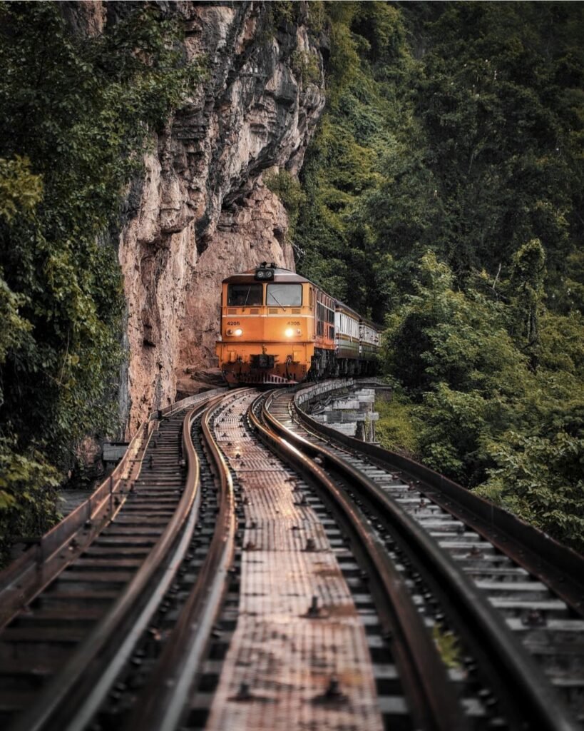
If you only see one stretch of the Death Railway, make it this one. A wooden trestle about 400 metres long clings to the cliff above the Khwae Noi river, with a cave shrine beside the track. Take the train from Kanchanaburi towards Nam Tok rather than driving: the view from the carriage is the point.
If you walk the trestle, time it around a train. The walkway is single file and there’s no railing on the drop side, so stay well back when trains pass.
- Attraction Type
- Historic railway
- Location
- Open in Google Maps
- Cost
- Free; foreigners pay 100 THB for the train from Bangkok Thonburi
- Best Time To Visit
- When a train is due (around 11.40am on the morning train from Kanchanaburi)
- How To Get There
- Train towards Nam Tok, or about 55 km by road from town






03Wat Tham Suea
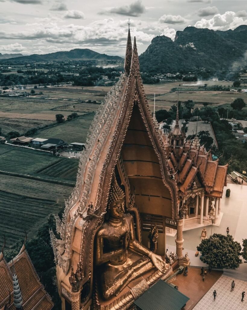
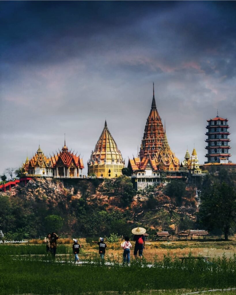
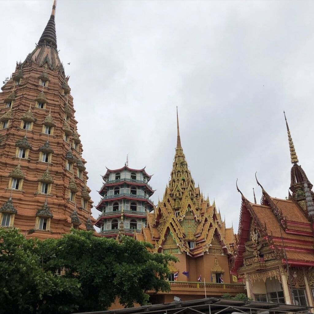
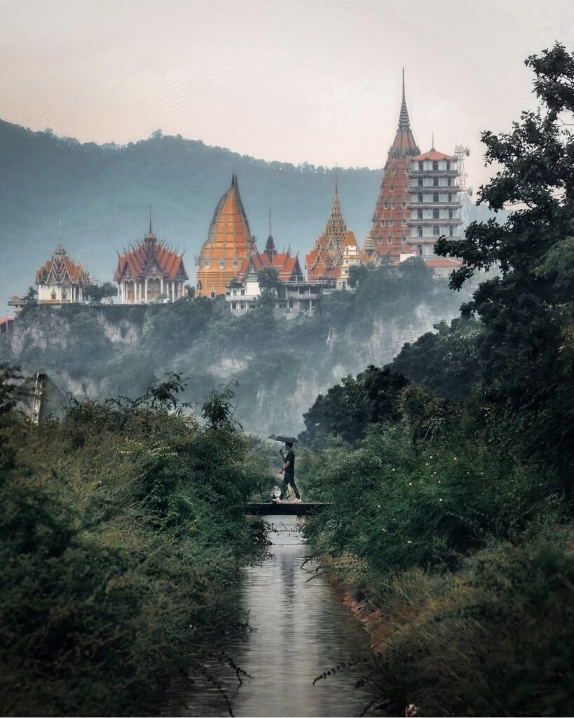
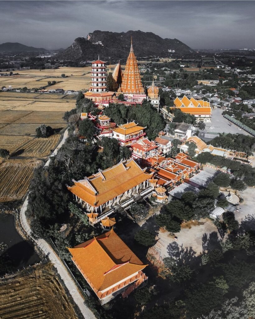
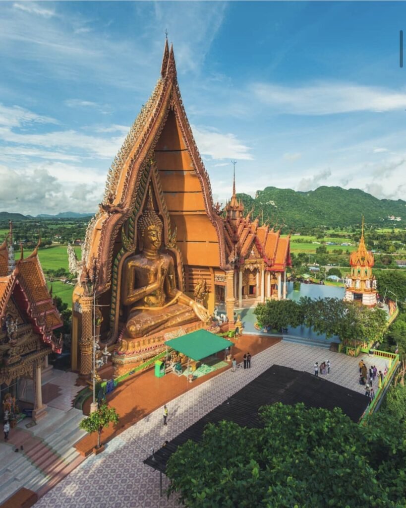
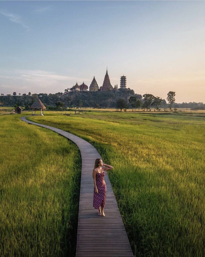
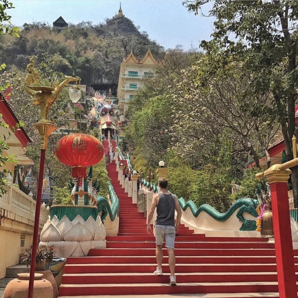
The Tiger Cave Temple crowns a hill above the Mae Klong valley, with a giant seated Buddha, a nine-tiered chedi 69 metres tall and a wide view over the rice fields and river below. Go in the late afternoon. The 157-step naga staircase is hard going in the midday heat, which is why many people take the little tram.
Wat Tham Khao Noi, with its Chinese-style pagoda, is right next door, so see both together.
- Attraction Type
- Temple
- Location
- Open in Google Maps
- Cost
- Free; small fee for the tram (check before you go)
- Best Time To Visit
- Late afternoon
- Opening Hours
- Daily, 08:00 to 17:00
- Number
- 098 959 9888
- How To Get There
- About 12 km south-east of town
- What to Pack
- Clothing that covers shoulders and knees



04Wat Ban Tham
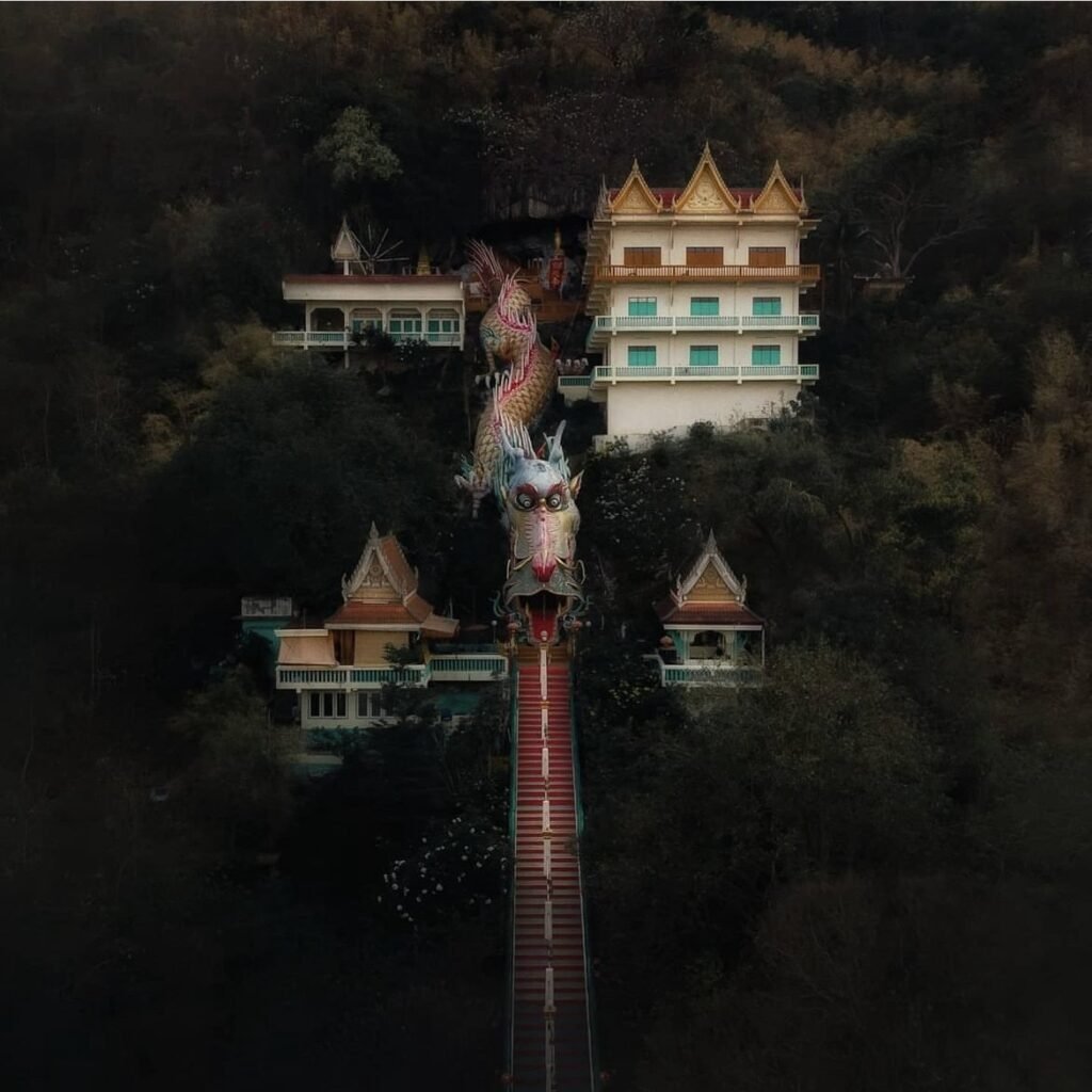
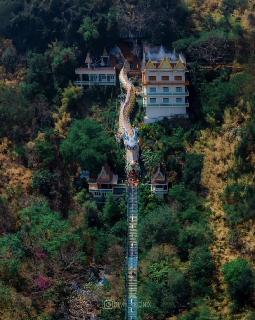
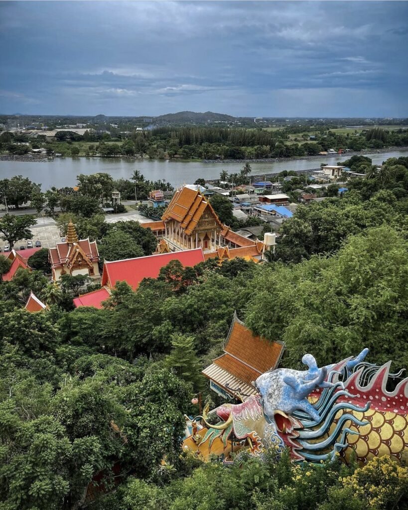
Here you climb a dragon-shaped staircase and walk into the shrine through the dragon’s open mouth, which is reason enough to come. The 269 steps are steep and exposed, with little shade, so go early or late in the day and pick up water from the kiosks at the base. The view from the top takes in the Mae Klong river and the town.
- Attraction Type
- Cave temple
- Location
- Open in Google Maps
- Cost
- Free
- Best Time To Visit
- Before 9am or after 4pm
- Opening Hours
- 7.30am – 5pm
- How To Get There
- A short drive south-east of town in Tha Muang district
- What to Pack
- Cover shoulders and knees, and remove shoes in the cave



05Wat Tham Khao Laem
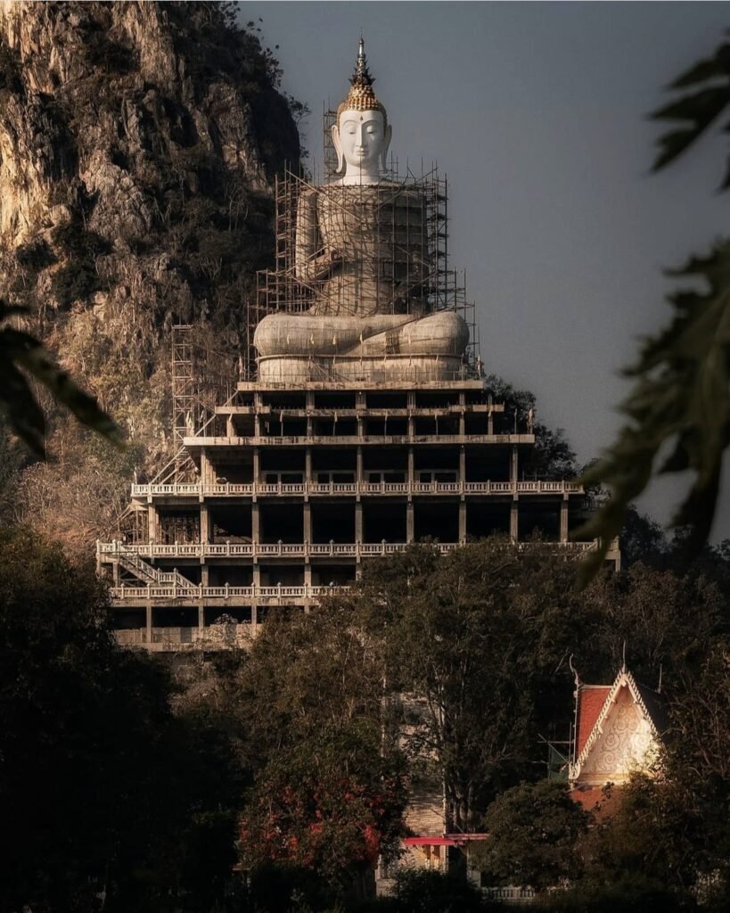
A smaller hillside cave temple south of town, with a staircase up to a little cave, a viewpoint and a seated Buddha against the limestone cliff. Renovation work may mean parts of it are fenced off, though the upper cave has stayed open. Worth a stop if you’re near Wat Tham Mangkon Thong; not worth a special trip.
- Attraction Type
- Cave temple
- Location
- Open in Google Maps
- Cost
- Free (donations welcome)
- Best Time To Visit
- Morning
- How To Get There
- Near Wat Tham Mangkon Thong, south of town
- What to Pack
- Clothing that covers shoulders and knees
06Wat Tham Khao Pun
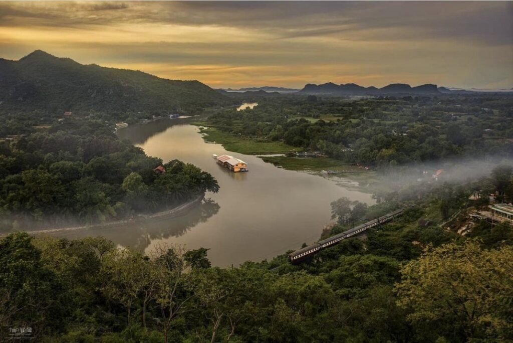
A walk-through cave temple on the bank of the Khwae Noi, with standing and reclining Buddhas inside and bats in the chambers. Look for the wartime photos and notes near the exit, which tie it to the river’s railway history. Come in the late afternoon and finish at the clifftop cafe nearby, which looks over the river.
- Attraction Type
- Cave temple
- Location
- Open in Google Maps
- Cost
- Donations welcome
- Best Time To Visit
- Late afternoon
- Opening Hours
- Daily, 07:00 to 18:00
- How To Get There
- About 6 km from town by road, or by boat from the river
- What to Pack
- Clothing that covers shoulders and knees



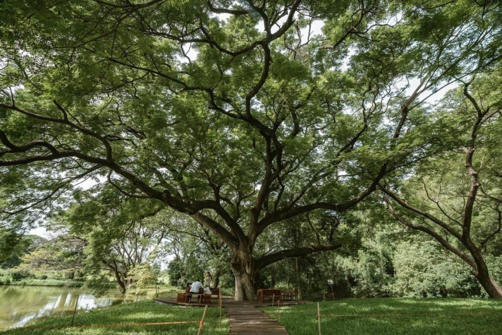
07Giant Monkey Pod Tree
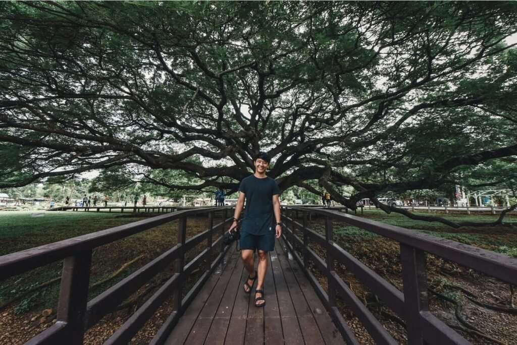
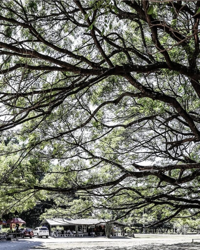
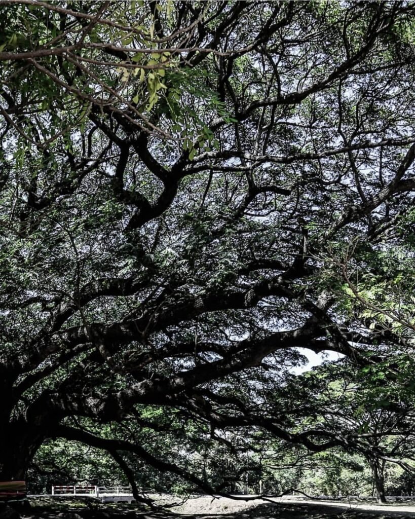
A rain tree more than 100 years old, with a canopy wide enough to shade a whole field. A boardwalk circles the trunk and drink stalls set up nearby. It’s inside an army veterinary unit at Ko Samrong, so treat it as a quick morning photo stop on the way out of town rather than an outing.
- Attraction Type
- Nature and photo spot
- Location
- Open in Google Maps
- Cost
- Free
- Best Time To Visit
- Morning
- Opening Hours
- Daily, 08:00 to 17:00
- Number
- 034 671 840
- How To Get There
- In Ko Samrong, inside an army veterinary unit on the road towards Dan Makham Tia
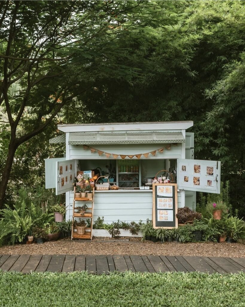
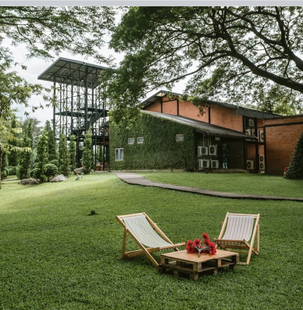


08Mulberry Mellow
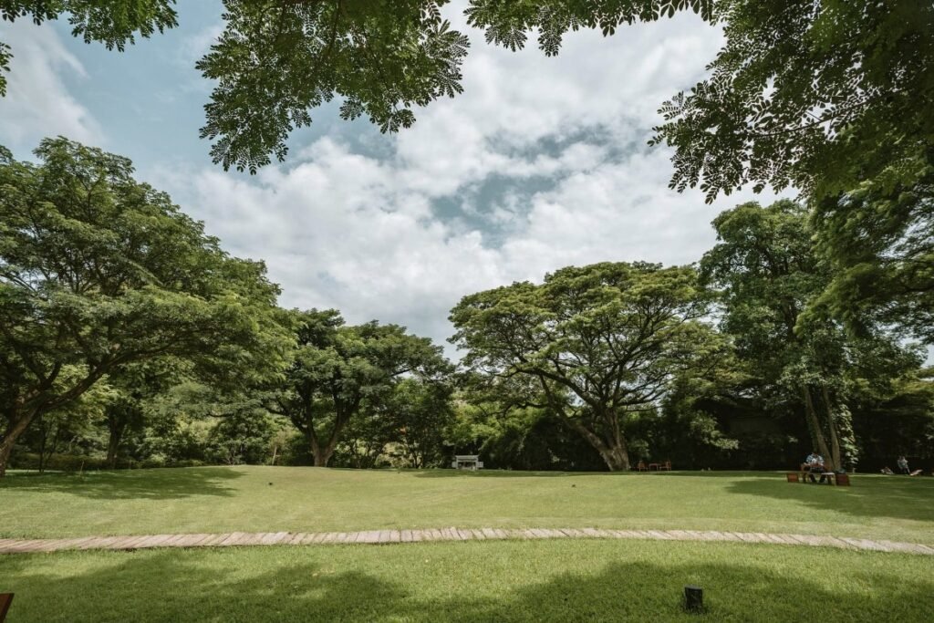
An open-air garden cafe in Ko Samrong, on the way from the bridge towards Sai Yok. The menu isn’t the draw: the shady lawn behind the cafe is, with big trees and beach chairs set out for picnics. Order the mulberry cold brew or soft-serve and stay a while.
- Attraction Type
- Cafe
- Location
- Open in Google Maps
- Cost
- Free entry; drinks extra
- Best Time To Visit
- Morning or late afternoon
- Opening Hours
- 8am – 6pm
- Number
- 081 933 1871
- How To Get There
- In Ko Samrong, on the way from the bridge towards Sai Yok
- What to Pack
- Picnic blanket



09Wat Tham Phu Wa
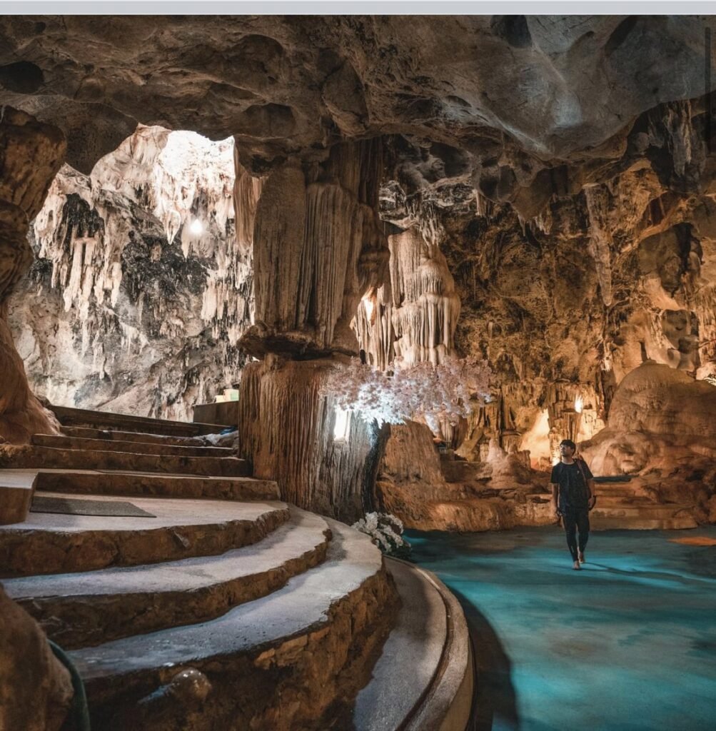
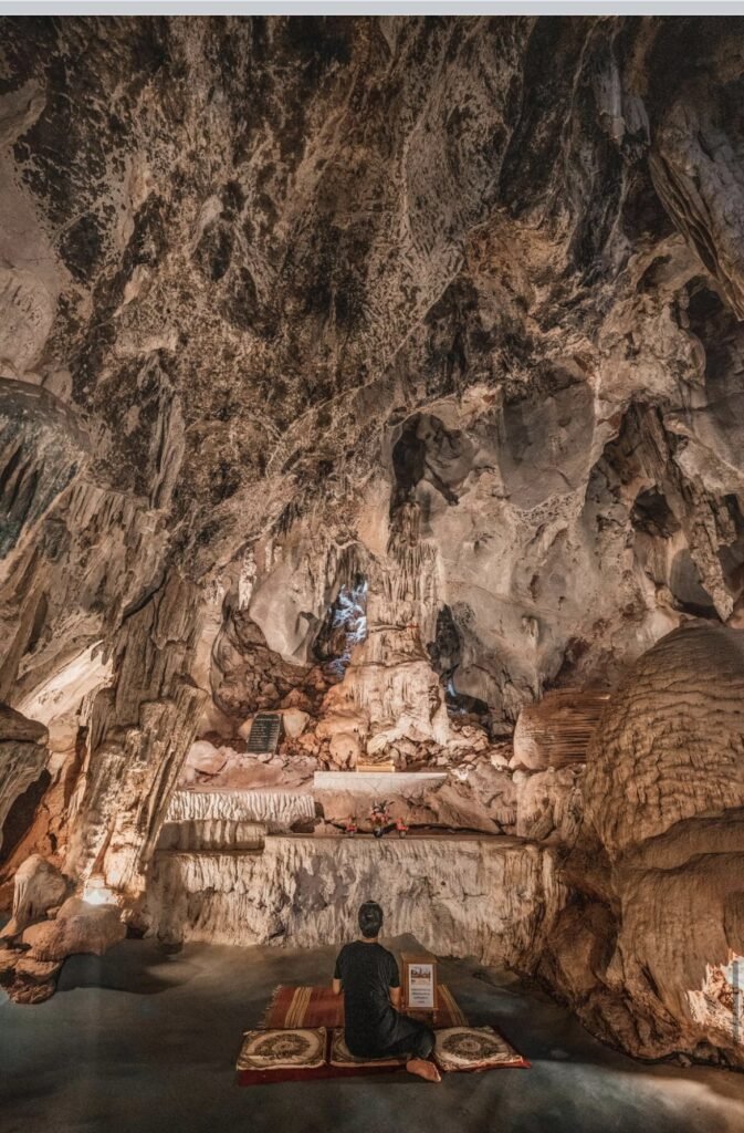
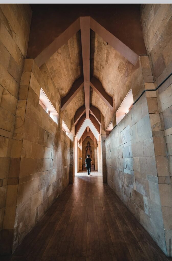
A limestone cave temple in Nong Ya, with chambers full of stalactites, Buddha images and Guan Yin statues, and a monk who offers blessings inside. It’s clean, well kept and usually quiet, especially early in the morning. You’ll need your own transport.
- Attraction Type
- Cave temple
- Location
- Open in Google Maps
- Cost
- Donations welcome
- Best Time To Visit
- Any time
- Opening Hours
- 8am – 6pm
- How To Get There
- In Nong Ya, outside town; you need your own transport
- What to Pack
- Clothing that covers shoulders and knees

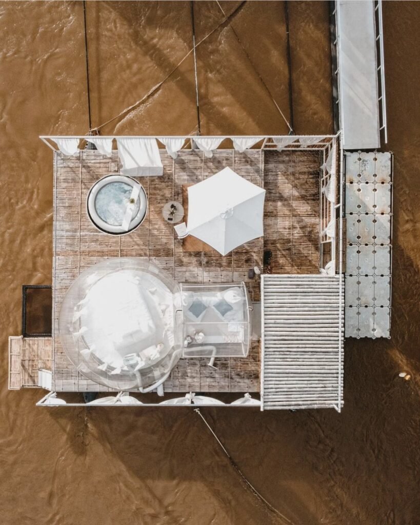

10The Three Bubble Houses
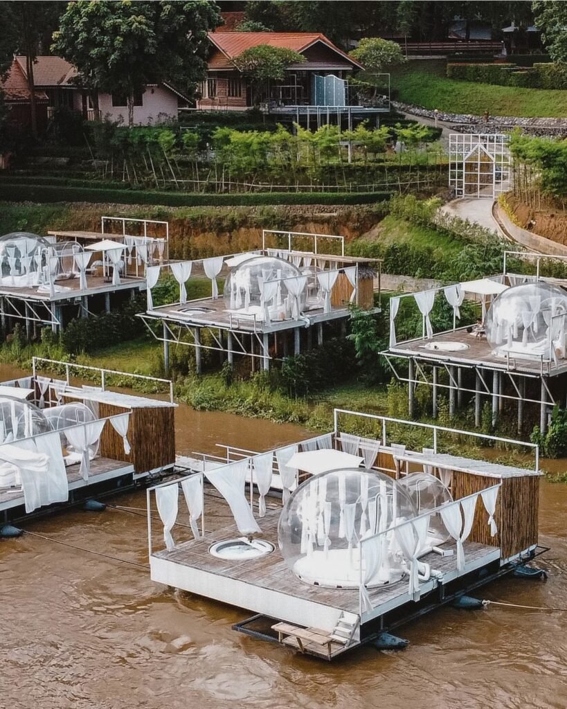
Transparent bubble domes floating on the river at Sai Yok, each with its own jacuzzi. It’s a stay, not a sight: only overnight guests get in, so book ahead. The catch is the cooling, which struggles in hot weather, so aim for November to February, when the domes are less likely to feel warm in the daytime.
- Attraction Type
- Glamping
- Location
- Open in Google Maps
- Cost
- Varies; book ahead
- Best Time To Visit
- November to February
- Number
- 081 256 9930
- Website
- thethreebubblehouses.com
- How To Get There
- In Tha Sao, Sai Yok district
- What to Pack
- Swimwear
11Mueang Sing Historical Park
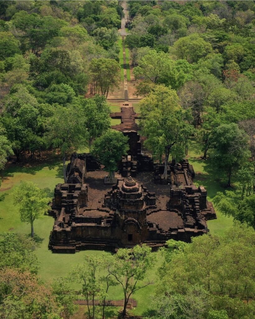
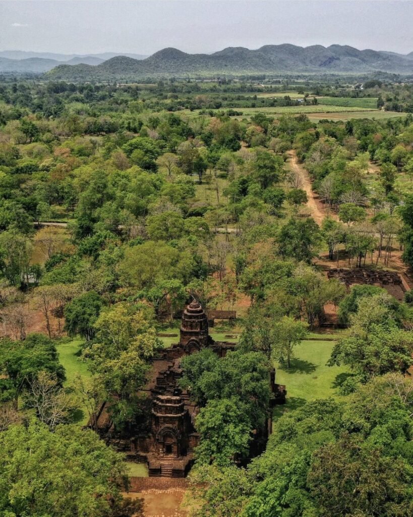
The ruins of a Khmer city on the Khwae Noi, with Bayon-style laterite temples inside walls and moats. It’s quiet and shady, and fits neatly into a morning on the way to Sai Yok.
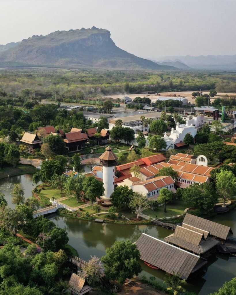
Mallika R.E.124, a recreated 1905-era Siamese town where you can dress in period costume, is just down the road if you want to make a half-day of it.
- Attraction Type
- Historical park
- Location
- Open in Google Maps
- Cost
- 100 THB for foreigners, 20 THB for Thais
- Best Time To Visit
- Morning
- Opening Hours
- Daily, 08:30 to 16:30
- Number
- 034 670 264
- How To Get There
- In Sing, Sai Yok district, west of town
Erawan and Si Sawat
North of town, the road climbs into forested hills around the Srinagarind reservoir to two of Thailand’s best waterfalls, Erawan and Huai Mae Khamin. Both are in national parks and both fill up at weekends, so come on a weekday if you can. Erawan is the easier day trip; Huai Mae Khamin is further out and quieter.







12Erawan Falls
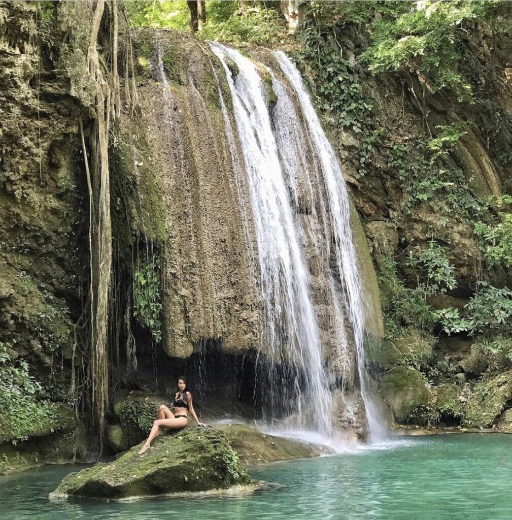
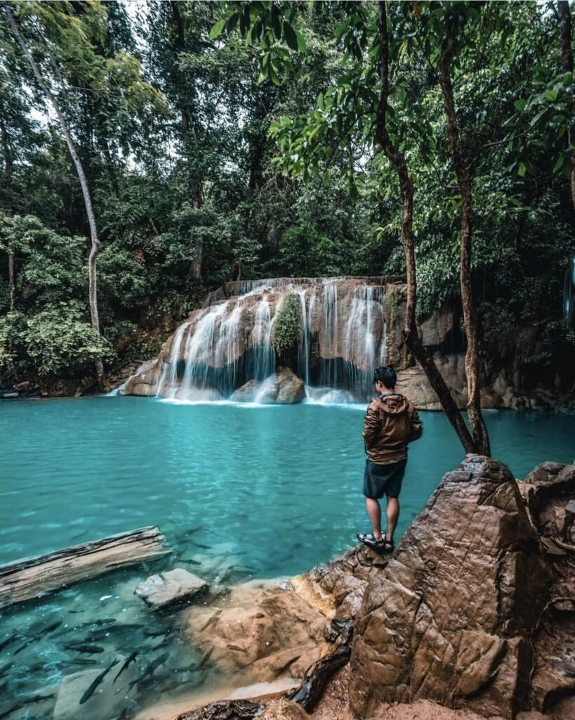
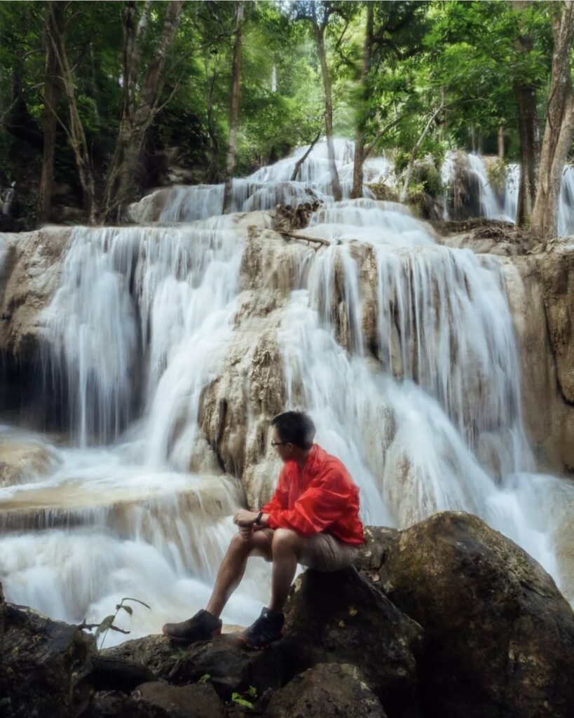
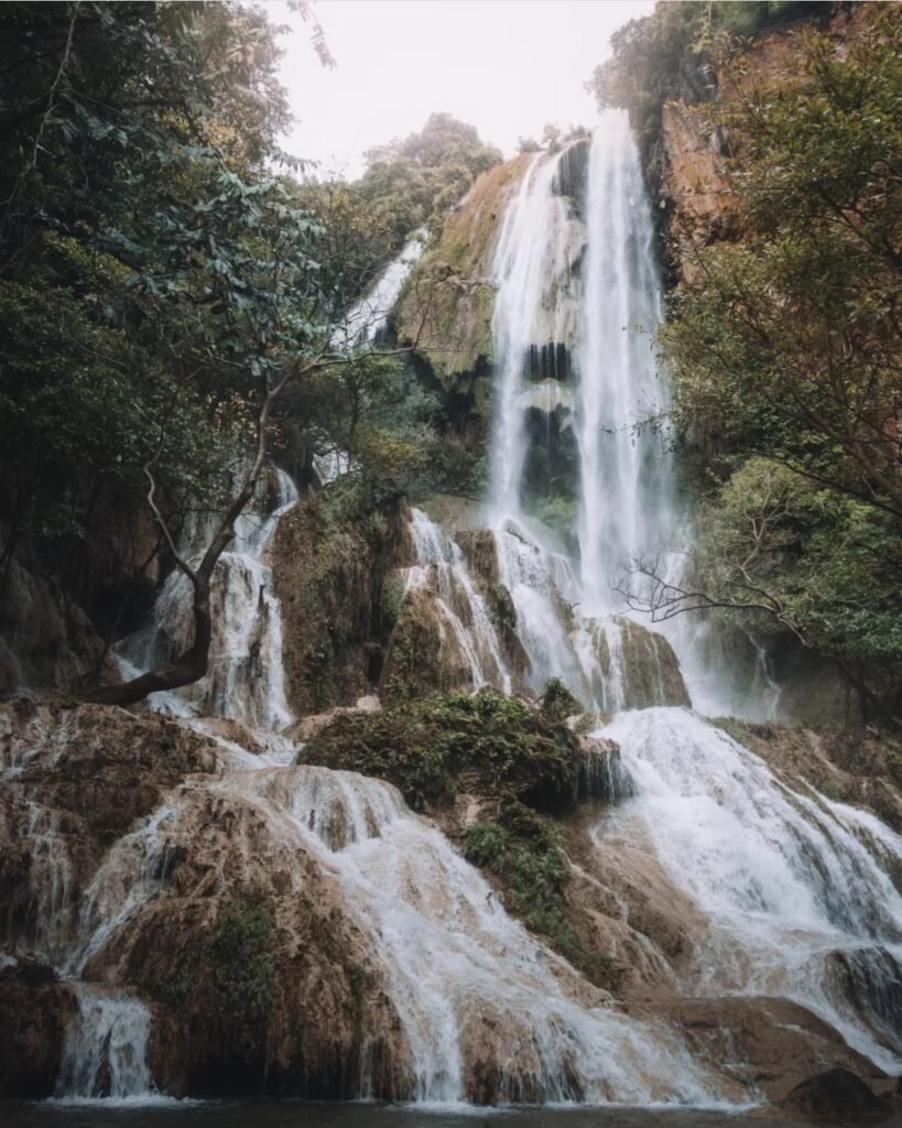
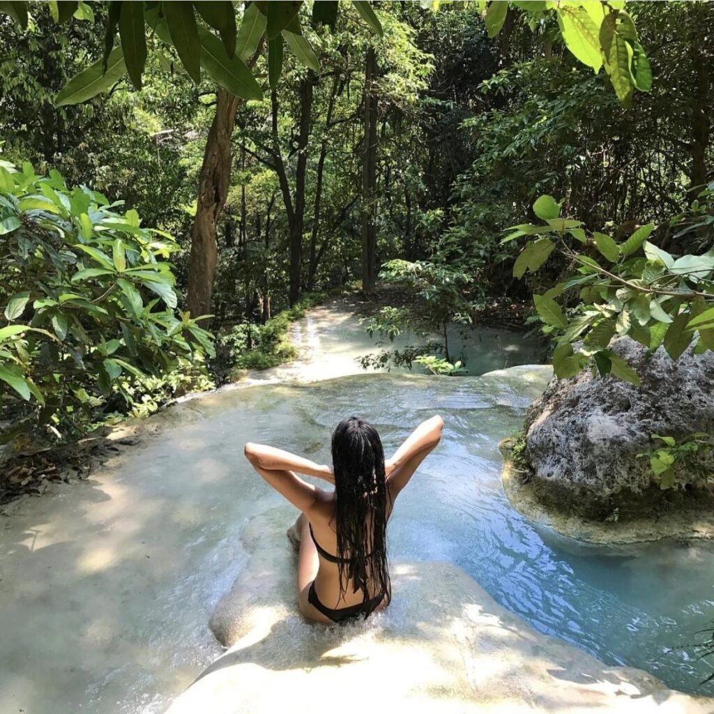
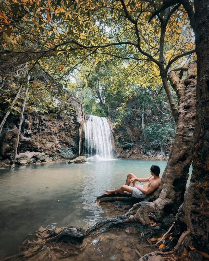
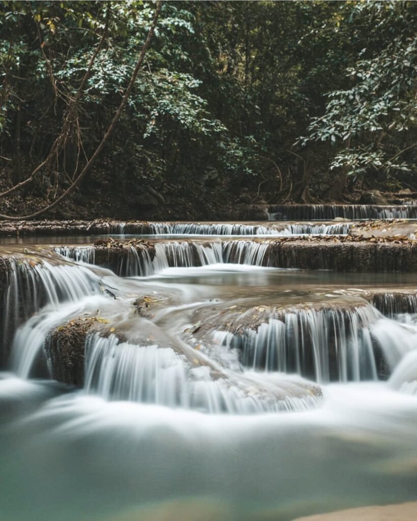
Erawan is the reason to stay a second day. Seven limestone tiers spill through the jungle into emerald pools full of fish that nibble at your feet, along a trail of about 1.5 to 2 km. Most visitors stop to swim in the lower tiers. Keep going: the pools near the top are the quietest, though the trail beyond tier 5 is rocky and slippery.
Arrive early on a weekday and head straight up, because rangers start clearing the upper tiers from 3pm. You must wear a life jacket to swim (about 20 THB to rent), and food isn’t allowed beyond tier 2. Heavy rain in September and October 2026 led the park to suspend swimming for a time, so check the park’s page before you go.
- Attraction Type
- Waterfall and national park
- Location
- Open in Google Maps
- Cost
- 300 THB for foreign adults, 60 THB for Thai adults
- Best Time To Visit
- Early morning on a weekday, November to April
- Opening Hours
- 8am – 4.30pm (last entry 3.30pm)
- Number
- 034 574 222
- How To Get There
- About 70 km (1.5 hours) north of town; buses run from Kanchanaburi
- What to Pack
- Swimwear, water shoes and cash


13Huai Mae Khamin Waterfall
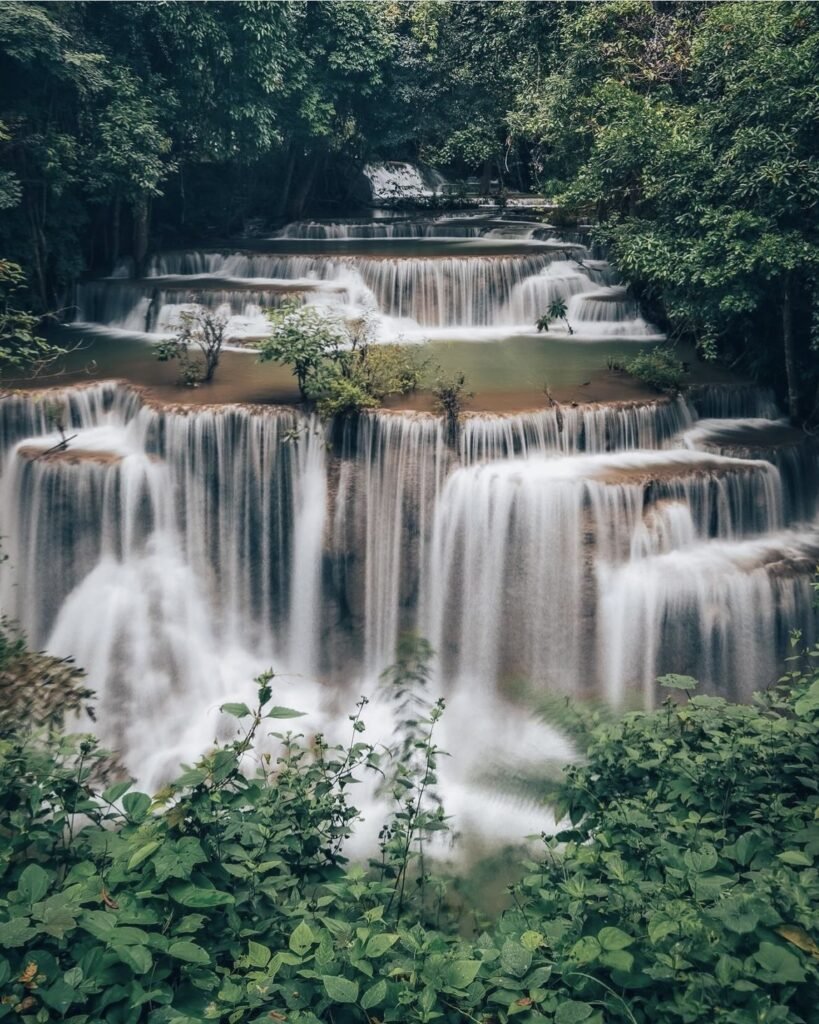
If Erawan sounds too busy, this is the alternative: another seven-tier waterfall, in Khuean Srinagarindra National Park, further from town and quieter. The fourth tier, Chat Kaew, a broad curtain of water, is the one to photograph. It’s a long drive, so make a full day of it.
- Attraction Type
- Waterfall and national park
- Location
- Open in Google Maps
- Cost
- 300 THB for foreigners, 60 THB for Thais
- Best Time To Visit
- October to April
- Opening Hours
- 6am – 4.30pm
- Number
- 034 540 316
- How To Get There
- About 113 km from town via Route 3199
- What to Pack
- Water shoes and swimwear
Thong Pha Phum and Sangkhlaburi
Far to the north-west, Route 323 follows the Khao Laem reservoir towards the Myanmar border, past misty mountains, old mining villages and the Mon town of Sangkhlaburi. This is the part of the province that rewards a few nights: the roads are long and winding, and the best treks and viewpoints are timed for sunrise. Floods in August and September 2026 damaged parts of Highway 323, so check conditions before you drive.


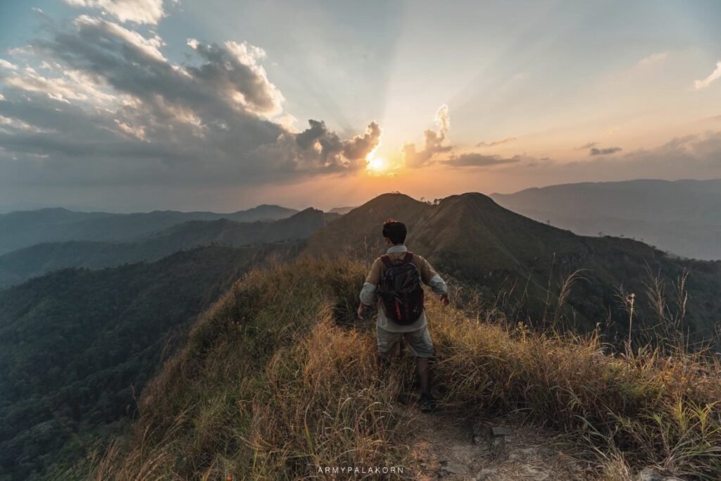


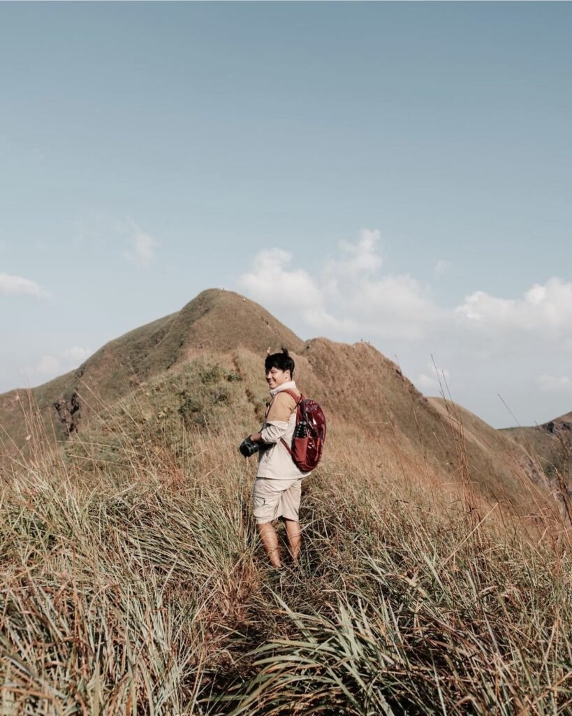

14Khao Chang Phueak
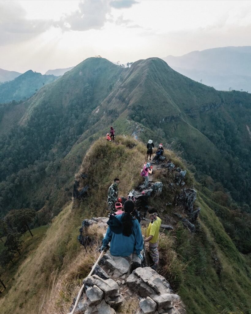
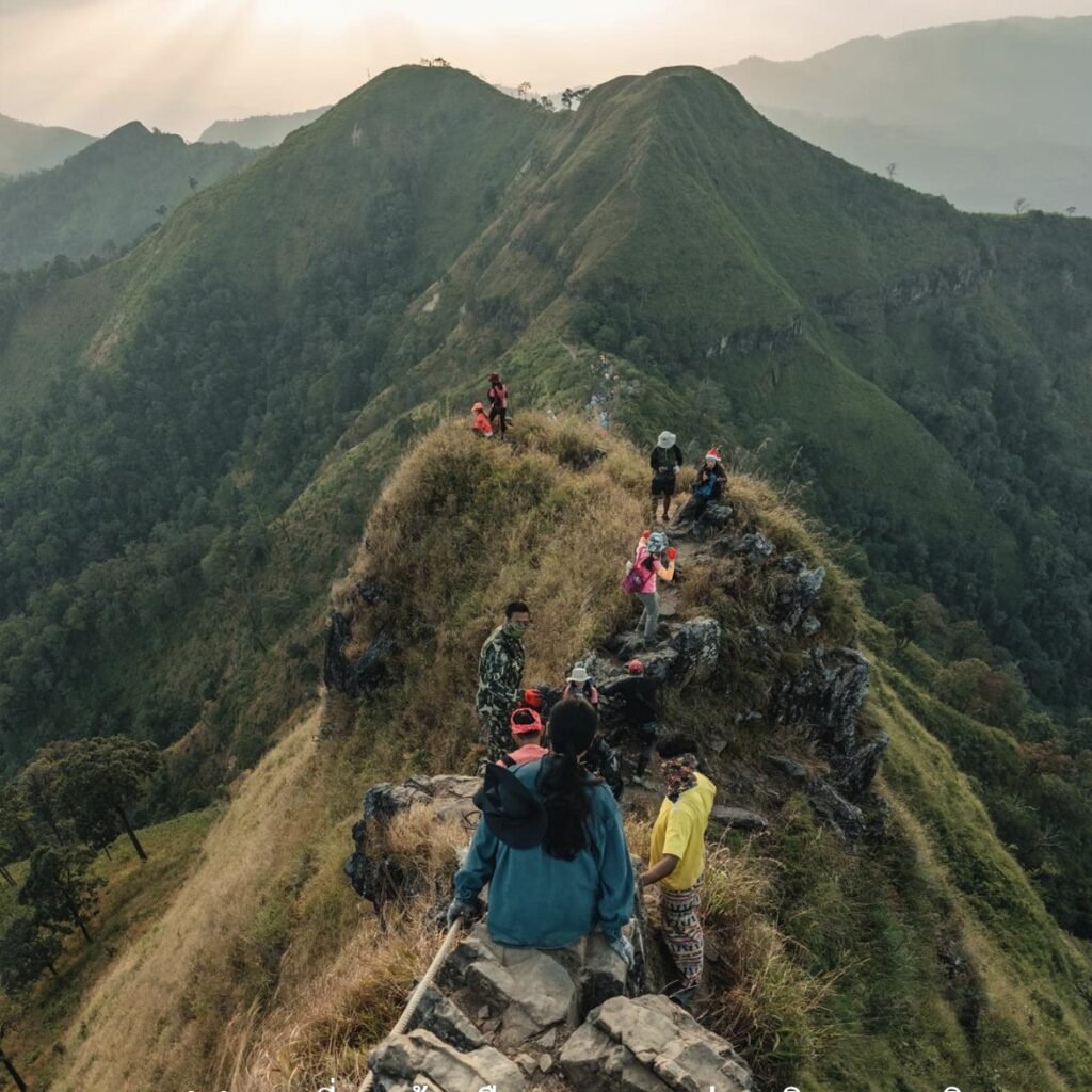
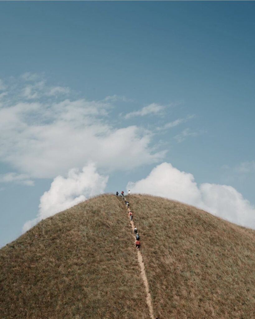
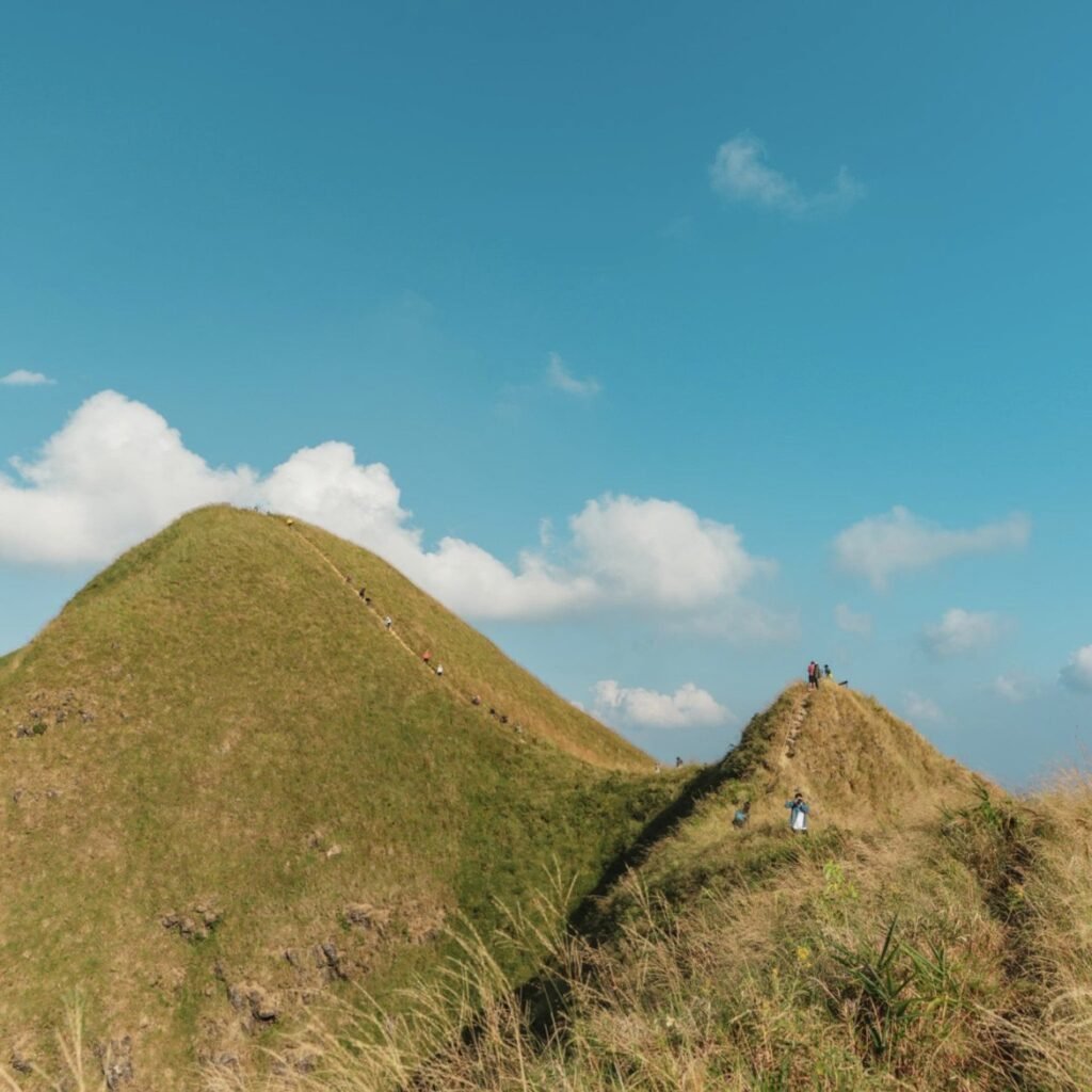
One of Thailand’s best-known treks: 8 km over two days to a 1,249-metre summit in Thong Pha Phum National Park, with local villagers working as porters. The first 6.5 km or so to the campsite is moderate. The hard part is the final stretch, a steep scramble that includes a narrow knife-edge ridge with drops on both sides.
Planning is everything. The trail opens only from November to January, with a daily limit of 60 people and no walk-ins. Bookings open in rounds through the park’s Facebook page from mid-October, so watch it closely.
- Attraction Type
- Trek
- Location
- Open in Google Maps
- Cost
- National park fee plus porter and camping costs
- Best Time To Visit
- November to January only
- Number
- 098 252 0359
- How To Get There
- The trailhead is near Ban E-Tong in Pilok, Thong Pha Phum district
- What to Pack
- Hiking boots, warm layers and biodegradable toilet bags


15Jok Kradin Waterfall
A single 34-metre drop into a deep blue pool, a short walk from the car park in Thong Pha Phum National Park. Come in the rainy season, when the flow is strongest. The 3 km road down to the car park is steep, so take it in low gear.
- Attraction Type
- Waterfall
- Location
- Open in Google Maps
- Cost
- 200 THB for foreigners, 40 THB for Thais
- Best Time To Visit
- June to October for the strongest flow
- Opening Hours
- Daily, 08:30 to 16:00
- Number
- 098 252 0359
- How To Get There
- About 7 km before Ban E-Tong on Route 3272
- What to Pack
- Water shoes for the slippery rocks




16Ban E-Tong and Noen Chang Suek
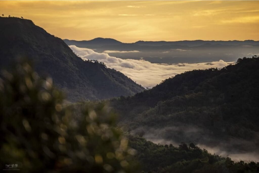
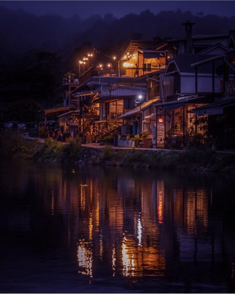
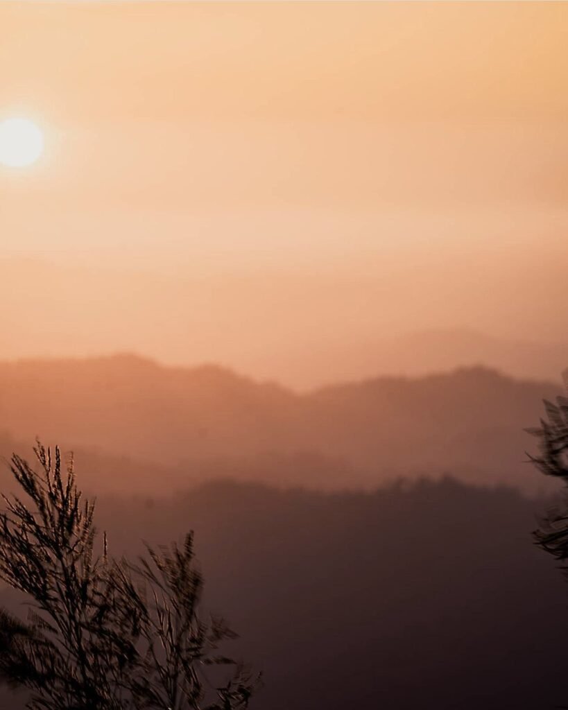
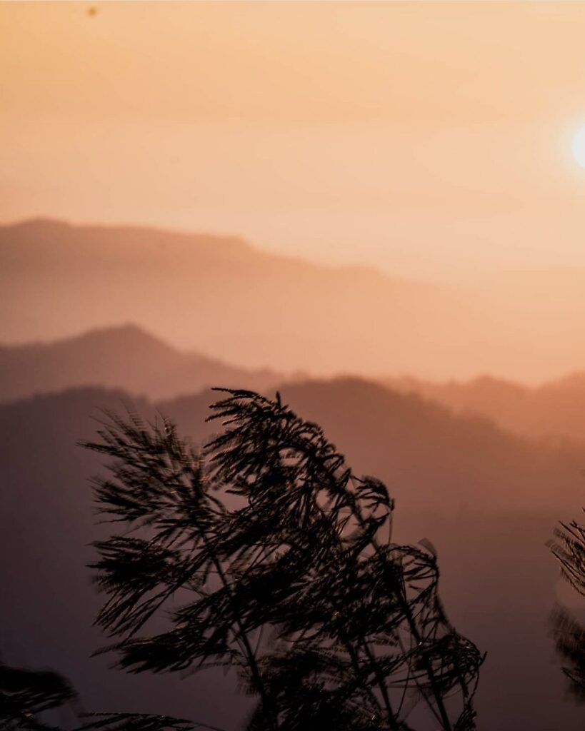
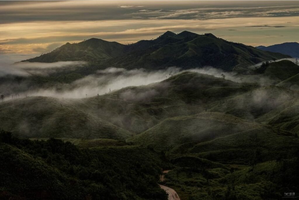
Ban E-Tong is a former tin-mining village in Pilok, right on the Myanmar border and often wrapped in fog. The reason to make the drive, a couple of hours from Thong Pha Phum, is the Noen Chang Suek viewpoint just before the village, where layers of mountains stretch away and you can camp on the hilltop. Be there for sunrise or sunset.
The last stretch is steep, rough and partly dirt, so many people ride a pickup taxi up from the village rather than drive. There’s a Thai border post at the top.
- Attraction Type
- Village and viewpoint
- Location
- Open in Google Maps
- Cost
- Free
- Best Time To Visit
- Sunrise or sunset, November to February
- Number
- 034 599 118
- How To Get There
- About 75 km from Thong Pha Phum town
- What to Pack
- A warm jacket

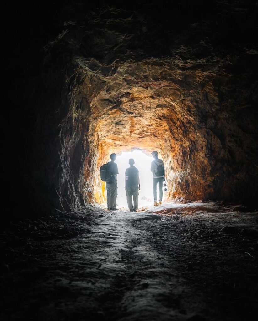
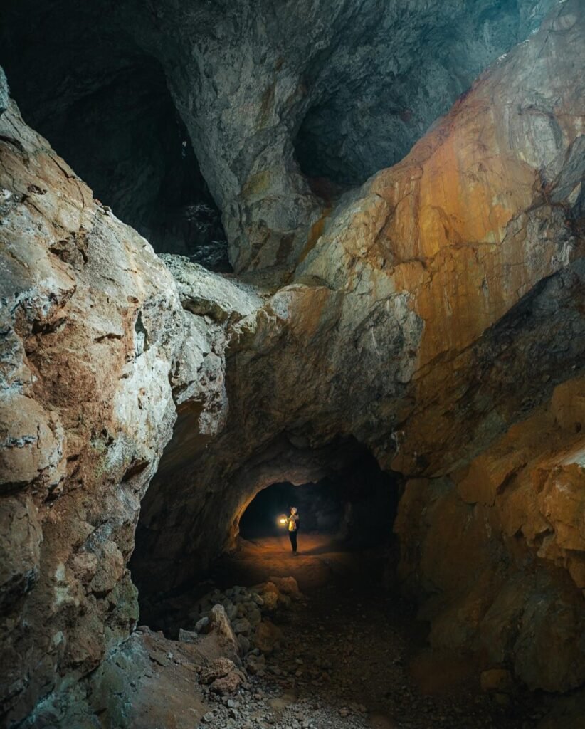
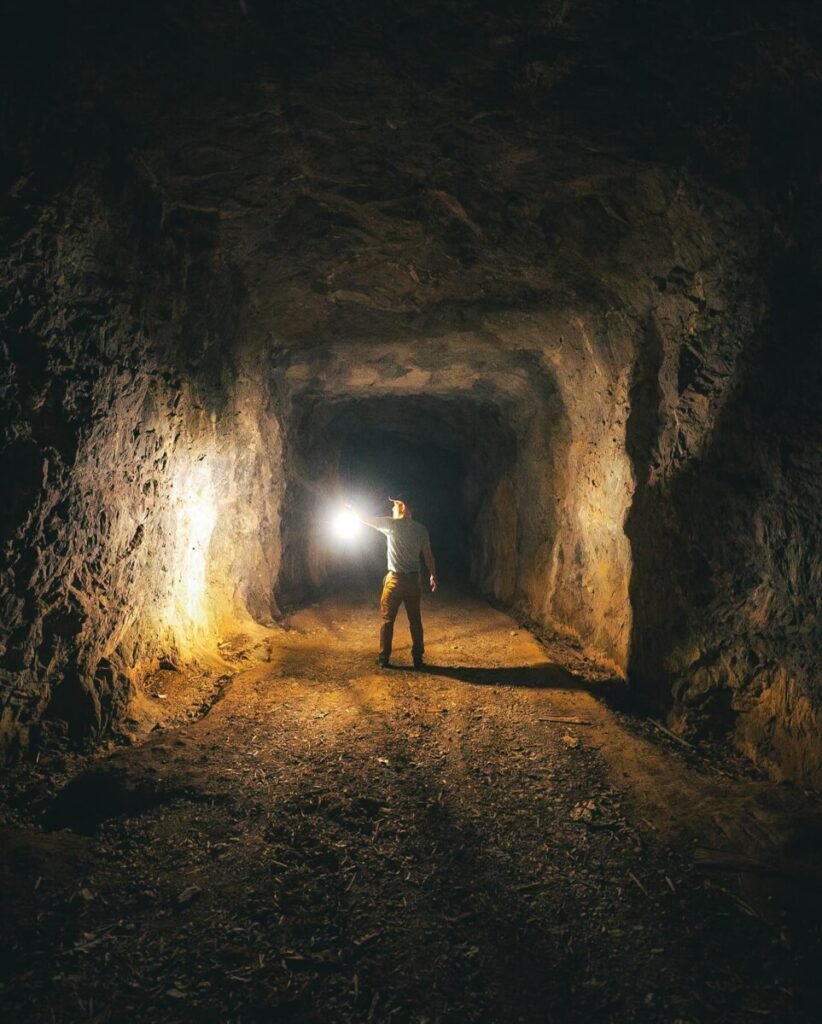

173D Tunnel (Dr Phol Klipbua Mine), Thong Pha Phum
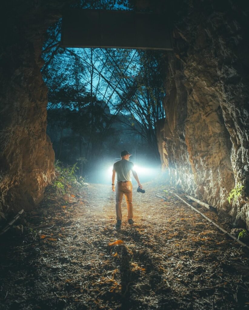
The 3D Tunnel (อุโมงค์สามมิติ), also called the Dr Phol Klipbua tunnel, is part of the old Song Tho lead mine. The mine holds more than 50 km of underground workings, and guided tours run about 2 km through a main tunnel that crosses the mountain, past stalactites, old machinery and a shaft where a thin waterfall drops in from above.
You cannot go in alone. The Sahakon Nikhom subdistrict municipality runs tours in converted 4×4 pickups with a guide and spotlights; if you bring your own pickup an officer must ride with you. Book ahead by phone. It is completely dark, the floor is wet gravel, and wires and old equipment still hang inside, so it is a poor choice for anyone uneasy in enclosed spaces. Bring a head torch and shoes you can get muddy.
- Attraction Type
- Mine tunnel tour
- Location
- Open in Google Maps
- Cost
- Sources disagree: 200 THB per person on a shared pickup, or 1,000 to 1,500 THB per pickup; own vehicle 1,000 THB or 100 THB per person (check before you go)
- Opening Hours
- By appointment; forest unit checkpoint open 06:00 to 16:30 daily (check before you go)
- Best Time To Visit
- Year-round; the cool season (Nov to Feb) is most comfortable for the drive
- How To Get There
- In Sahakon Nikhom subdistrict, Thong Pha Phum district, on the Srinagarind Dam side of the district. Book a pickup tour through Sahakon Nikhom municipality (034-685-038) and meet at their office near the mine entrance. Own transport needed to get there.


18Khao San Nok Wua
A 9 km trek in Khao Laem National Park to a grassy ridge at 1,767 metres, named for its resemblance to a cow’s hump. Hikers camp on top for sunrise over a sea of mist. Don’t trust its beginner-friendly reputation: the trail is steeper than people expect, with plenty of up and down.
It opens from October to February. Book by phone with the park, then register at the Pom Pi viewpoint before you start.
- Attraction Type
- Trek
- Location
- Open in Google Maps
- Cost
- National park fee
- Best Time To Visit
- October to February
- Number
- 034 510 431
- How To Get There
- Highway 323 around km 39 to 40, about 30 km before Sangkhlaburi
- What to Pack
- Tent, sleeping bag, leech socks and a head torch

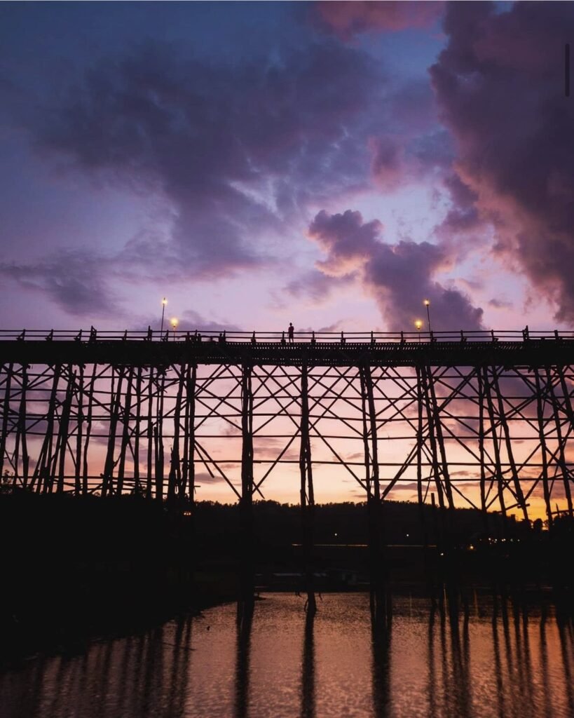
19Sangkhlaburi and the Mon Bridge
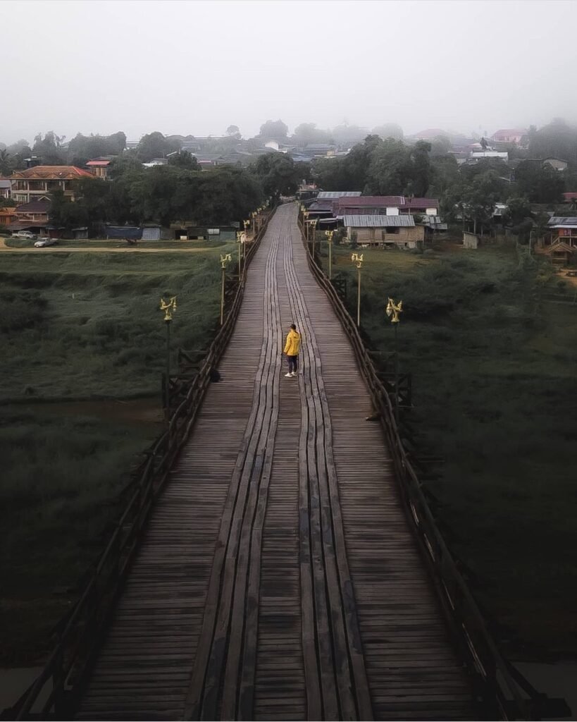
The Mon town of Sangkhlaburi, on the Khao Laem reservoir, is the best reason to make the long drive up Highway 323, about four hours from Kanchanaburi. Its long wooden Mon Bridge, rebuilt after a 2013 collapse, is at its best at sunrise, when locals cross and monks collect alms. The bridge was reported damaged in floods in August 2026, so check its state before you go.
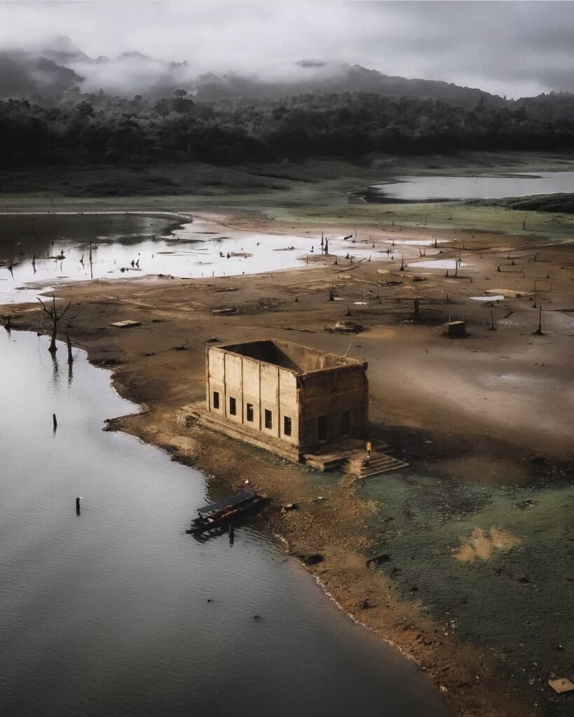
Across the water, the old Wat Wang Wiwekaram was submerged when the dam was built. From around March to May the water drops enough to walk into the ruins; the rest of the year you see it by boat. Boats leave from beside the bridge, usually on a short trip taking in several temples.
- Attraction Type
- Town, bridge and sunken temple
- Location
- Open in Google Maps
- Cost
- Free; boats to the sunken temple extra
- Best Time To Visit
- Sunrise; March to May for the sunken temple
- How To Get There
- About 220 km (4 hours) from Kanchanaburi town via Highway 323
- What to Pack
- Small change for alms and boats

20Sai Yok Yai Waterfall
Sai Yok Yai (น้ำตกไทรโยคใหญ่) is the main waterfall of Sai Yok National Park, and one of the few in Thailand that drops straight into a big river. It falls roughly 10 metres off a cliff into the Khwae Noi, right beside the suspension bridge near the visitor centre, so it takes almost no walking to reach.
Flow depends heavily on the season. From June or July the falls run full, while in April and May they can thin to a trickle, so the dry months are a poor time to come just for the water. The best views are from the far bank, a short walk over the bridge. The national park fee is high for foreigners, so pair it with the park’s caves and riverside trails to make the day worth it, and arrive early or late for softer light.
- Attraction Type
- Waterfall / national park
- Location
- Open in Google Maps
- Cost
- Foreigners 300 THB, children 150 THB; Thais 60 THB, children 30 THB; car 30 THB (national park fee)
- Opening Hours
- Sources give 08:00 to 16:30 or 08:30 to 16:00 (check before you go)
- Best Time To Visit
- July to October for the strongest flow; avoid April and May
- How To Get There
- From Kanchanaburi town drive north-west on Highway 323 to the Sai Yok National Park turn-off; sources put it at 85 to 100 km, about 1.5 hours by car. Without a car, take the train to Nam Tok station or a bus towards Thong Pha Phum and arrange onward transport.
Created by
 Arm Palakorn@armypalakorn
 Will Fearon@asiaandbeyond
 Floris@florisgone
 Rung Boriwat@sunny_rung
 Shayan Naveed@shayanadventures
 Ittipoom Promma@koalamarty
- Sattayakoon Traikaew@lostinmyway_3
 Akarachai@akara_srt
- Natapong Notjustnut@not.just.nut
 Garn Phakathunya@funfunphoto
 Kiattisak Masim@k.masimmmm
 Alvaro Garcia Gallego@alvarogarciagallego
 Dima Trionix@dima_trionix
 Tobi Schoepflin@tobischoepflin
 Narongdet Mx@max_milestone