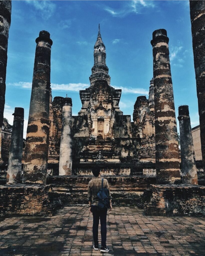
Nan sits against the Lao border in the north-east corner of northern Thailand, and most travellers still skip it. Their loss. The old town has gilded temples and very little traffic, the valleys around Pua are Tai Lue weaving country, the mountain roads run above the clouds, and the valley village of Ban Sapan has become one of the most photographed places in the north. Come for the drives and the mornings; the town itself needs a day or two.
Fly from Bangkok Don Mueang to Nan Nakhon Airport (about 1 hour 15 minutes, with Thai AirAsia and Nok Air), take the Green Bus from Chiang Mai (about 6 to 7 hours), or ride an overnight bus from Mo Chit. Outside town you need your own car or motorbike, and you need to be comfortable on steep, winding mountain roads.
November to February brings cold, misty mornings and is the season to aim for. August to October has the greenest rice fields but carries a landslide risk: floods in August 2026 damaged roads around Pua and Bo Kluea. The main routes reopened within days, though some sections are still on temporary repairs, so check conditions before you drive. Doi Phu Kha National Park closes from 1 June to 30 September.
Suggested route. Start in Nan town with Wat Phumin first thing, Wat Phra That Chae Haeng in the late afternoon and sunset from Wat Phra That Khao Noi. Head south next for Sao Din Na Noi and, in the camping season, a night on Doi Samer Dao for sunrise. Then go north through the Tai Lue cafes around Pua and sleep up at Ban Sakat for the mist. From there, cross Doi Phu Kha by the 1715 viewpoint and take the sky road, Highway 1081, over to Bo Kluea and Ban Sapan, with Khun Nan National Park on the way. Return to town via Santi Suk.
How we chose these spots. The guide follows the province in four areas: Nan town, Si Nan National Park to the south, Pua and Doi Phu Kha to the north, and Bo Kluea on the Lao border. Because so much of Nan is about where you wake up, we include a handful of homestays, cafes and farm stays alongside the temples and viewpoints.
Good to know
- Tourist Police: 1155
- Emergency (ambulance): 1669
- Highway Police: 1193
- TAT Nan office: 054 711 217
- Doi Phu Kha National Park: 082 194 1349
Nan Town
One of Thailand’s quietest provincial capitals: a compact old town of teak houses and temples on the Nan River. A day or two is plenty. Do the temples, eat well, and then head for the mountains, which are the real reason to come.



01Wat Phra That Chae Haeng
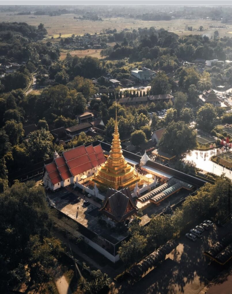
Nan’s most revered temple stands on a low hill across the river from town, approached by twin naga staircases. The golden chedi, sheathed in gilded copper alloy, dates back to the 14th century, and it is the birth-year stupa for anyone born in the Year of the Rabbit.
Come in the late afternoon, when the gold catches the light. On the full moon of the sixth northern month the temple fair brings big crowds: great atmosphere, but not the day for quiet photos.
- Attraction Type
- Temple
- Location
- Open in Google Maps
- Cost
- Free
- Best Time To Visit
- Late afternoon
- Opening Hours
- Daily, 07:00 to 18:00
- How To Get There
- About 3 km from the town centre across the Nan River


02Wat Phra That Khao Noi
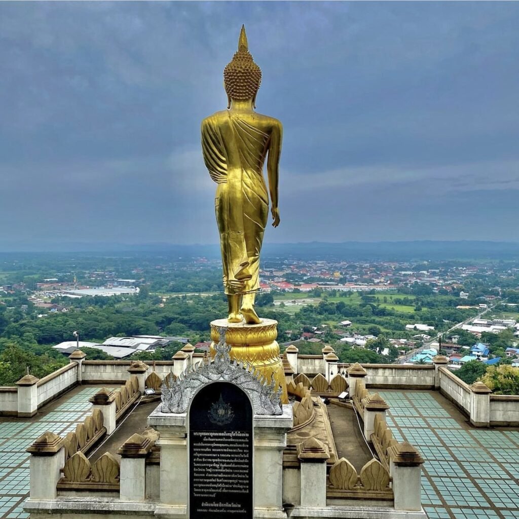
Go for the view rather than the temple. The terrace on this hill at the western edge of town looks over the whole of Nan and its valley, best at sunset or on a misty morning. Above it stands a 9-metre gilded Buddha, erected in 1999 for King Bhumibol’s 72nd birthday, facing out over the city.
You can drive to the top, but the 303 naga-lined steps are the better way up if it’s not too hot.
- Attraction Type
- Temple / Viewpoint
- Location
- Open in Google Maps
- Cost
- Free
- Best Time To Visit
- Sunset
- Opening Hours
- 6am – 6pm
- How To Get There
- About 2 km west of the old town centre


03Wat Phumin
If you see one temple in Nan, make it this one. The cross-shaped hall in the middle of the old town rests on giant naga serpents and houses four golden Buddhas facing the four directions. The real draw is on the walls: 19th-century murals by Tai Lue artists, including the much-loved whispering couple known as Pu Man Ya Man.
Get there early, before the tour groups, and cross the road to the Nan National Museum afterwards. As at all the temples here, cover shoulders and knees.
- Attraction Type
- Temple
- Location
- Open in Google Maps
- Cost
- Free
- Best Time To Visit
- Early morning
- How To Get There
- In the centre of Nan old town, within walking distance of most hotels
- Opening Hours
- Daily, 06:00 to 18:00


04Tung Homestay
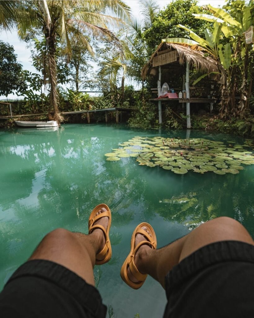
A small bed and breakfast in Bo Suak, about 5 km outside town, among rice fields with mountain views. Book a pool villa: the floating breakfast is the reason most people stay.
- Attraction Type
- Homestay
- Location
- Open in Google Maps
- Cost
- Varies by room
- Number
- 095 879 4747
- How To Get There
- About 5 km from Nan town, 25 minutes from the airport
South to Na Noi
An hour south, Si Nan National Park has the province’s oddest landscapes: eroded earth pillars at Sao Din and a grassy ridge at Doi Samer Dao that fills with sunrise mist. One park ticket covers both. Do Sao Din as a day trip, or camp on the ridge in season and catch both ends of the day.

05Sao Din Na Noi
Wind and rain have carved this hillside into a maze of earth pillars and cliffs, a miniature canyon locals call Hom Chom. Khok Suea, a deep eroded bowl, is about 800 metres away and worth the extra walk.
There is no shade at all, so come early or late and bring a hat, water and sunscreen. Stay on the paths and don’t climb the formations. Keep your national park ticket, as it also covers Doi Samer Dao; parking costs a little extra.
- Attraction Type
- Natural Landmark
- Location
- Open in Google Maps
- Cost
- Si Nan National Park fee: ฿20 Thai / ฿100 foreign adults
- Best Time To Visit
- Early morning or late afternoon
- Opening Hours
- 8:30am – 4:30pm
- How To Get There
- About 60 km south of Nan; turn off at Na Noi onto Highway 1083
06Doi Samer Dao
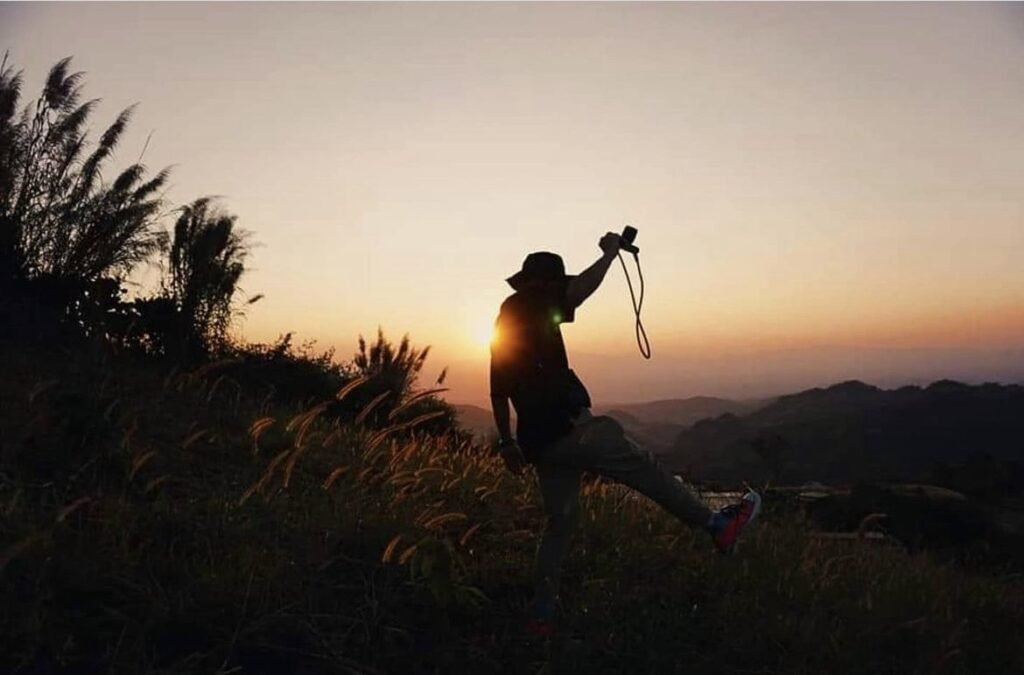
The name means “level with the stars”, and this grassy ridge in Si Nan National Park earns it twice a day. At sunrise in the cool season the Nan River valley vanishes under mist; on clear nights the stargazing is excellent.
Camping is only allowed from October to February, and you book by phone with the park. The access road is steep and slippery after rain. Pha Chu viewpoint is about 4 km away if you want a second angle.
- Attraction Type
- Viewpoint / Camping
- Location
- Open in Google Maps
- Cost
- ฿20 Thai / ฿100 foreign adults, plus tent hire if needed
- Best Time To Visit
- Sunrise, October – February
- How To Get There
- About an hour south of Nan via Highways 101 and 1083
- What to Pack
- Warm layers / Head torch
- Good to Know
- Tents with bedding can be hired on site for roughly 300 to 400 THB a night.
Pua, Santi Suk and Doi Phu Kha
North of town the valleys open into the rice fields of Pua, home to the Tai Lue people, before the roads climb into Doi Phu Kha National Park. This is cafe and homestay country. Drive through by day if you must, but villages like Sakat only make sense if you sleep there and wake up to the mist.



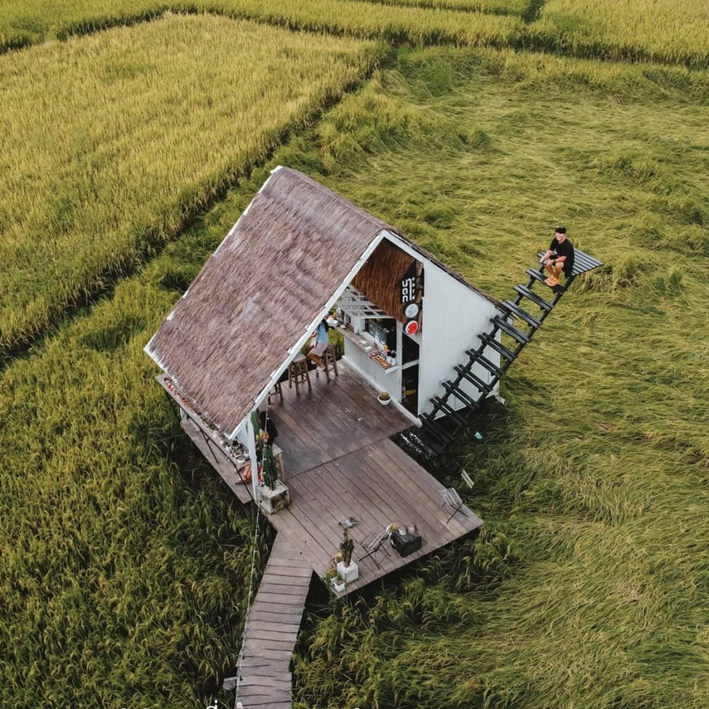


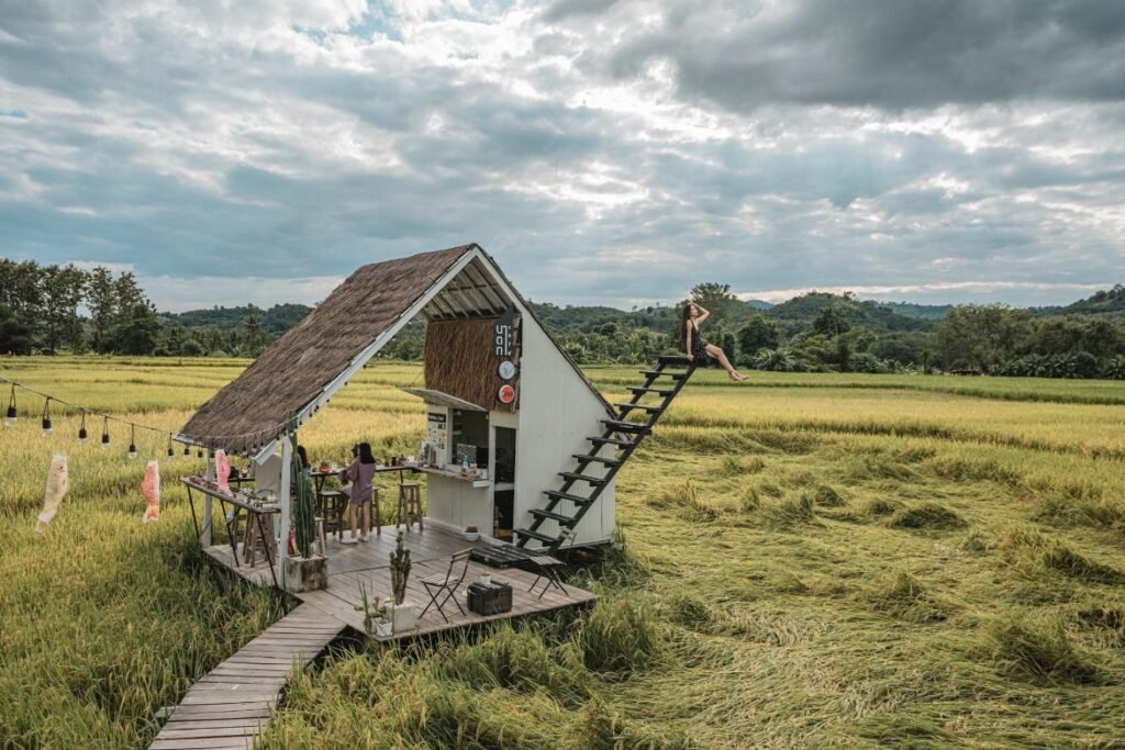

07Natatha Cafe and Farm Stay
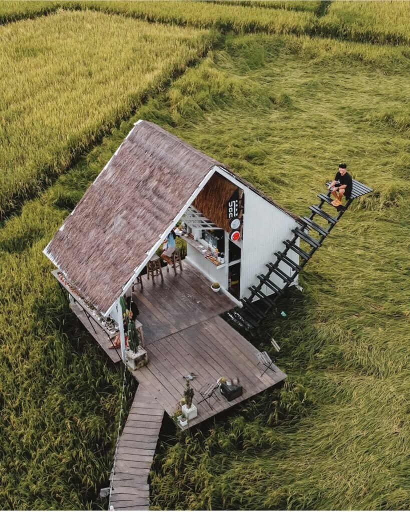
A cafe and farm stay in the rice fields of Santi Suk, with a handful of wooden huts on stilts facing the mountains. Stop for a fruit smoothie or freshly made pizza, or stay the night. Come between August and October, when the fields are at their greenest.
There are only a few rooms, so book ahead through their Facebook page. Parking is on site.
- Attraction Type
- Cafe / Farm Stay
- Location
- Open in Google Maps
- Cost
- Varies
- Best Time To Visit
- August – October for green fields
- Opening Hours
- Around 9am to 7pm (check before visiting)
- Number
- 083 009 5081
- Website
- Facebook page
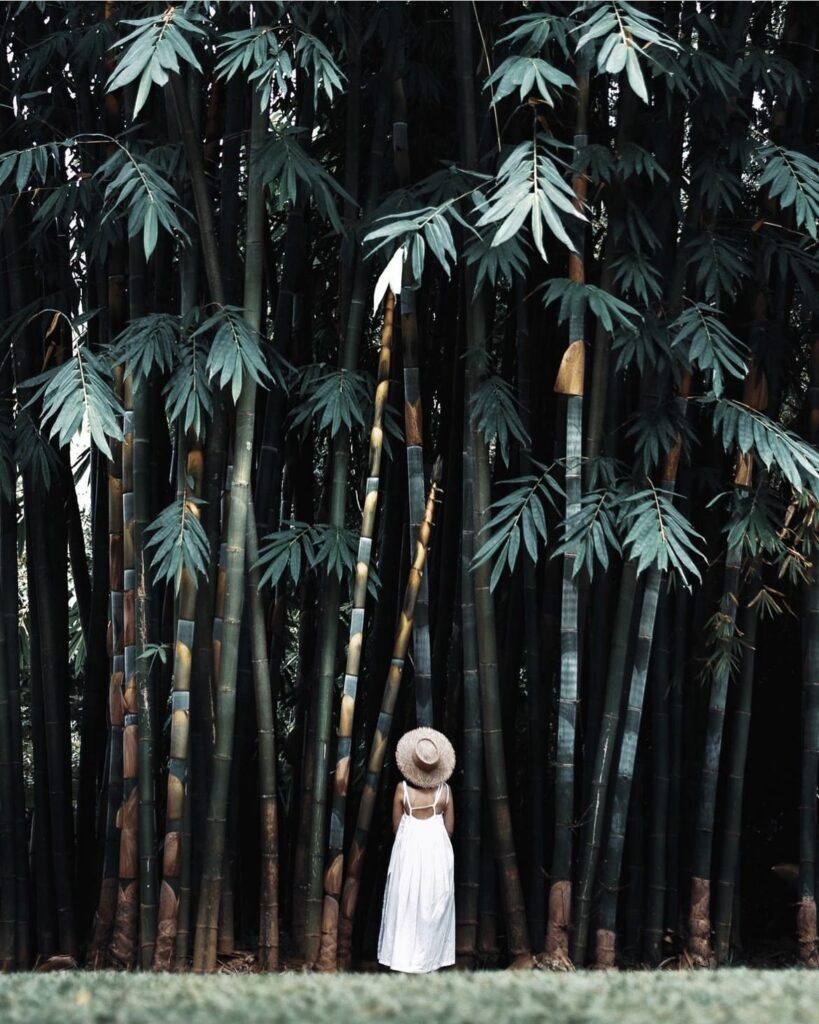
08Ban Hua Nam Mushroom Farm
A farm restaurant in a shady bamboo grove by the water near Pua. Order the mushroom pizza, which almost everyone does, or the grilled mushrooms grown on site. The tall bamboo makes it a popular photo stop, and in high season you should expect to wait for a table.
- Attraction Type
- Restaurant
- Location
- Open in Google Maps
- Cost
- Around ฿100 – 250 per person
- Opening Hours
- Daily, 08:00 to 18:00
- Number
- 081 005 1533

09Ban Tai Lue Coffee
Part cafe, part Tai Lue weaving shop, in Sila Laeng. Take your coffee out along the wooden walkways to the huts over the rice fields, then look at the hand-woven textiles inside. Roasted beans and snacks are on sale to take home.
- Attraction Type
- Cafe / Weaving Shop
- Location
- Open in Google Maps
- Cost
- Varies
- Opening Hours
- Daily, 07:00 to 17:00
- Number
- 089 264 6058

10Na Puan Retreat
A quiet homestay with villas that have their own kitchens, set among the fields near Pua. Its value is the location: it is well placed for Doi Sakat, Doi Phu Kha and the 1715 viewpoint.
- Attraction Type
- Homestay
- Location
- Open in Google Maps
- Cost
- Varies
- Number
- +66 81 951 8945

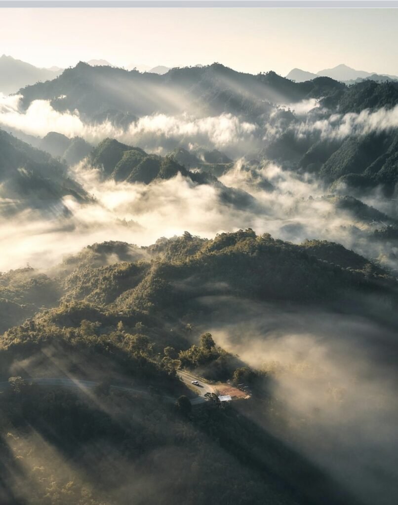





11Road 3 and the Sky Road
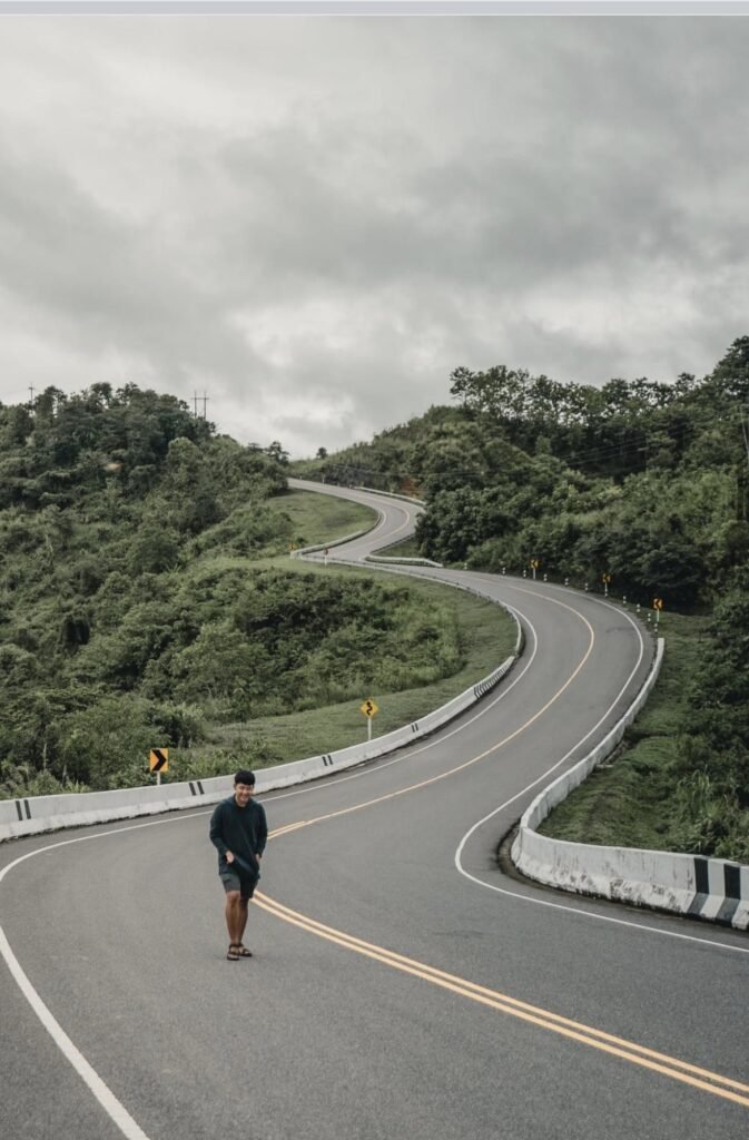
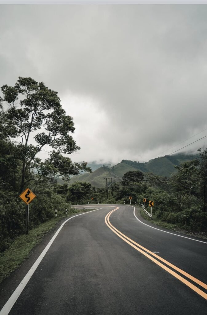
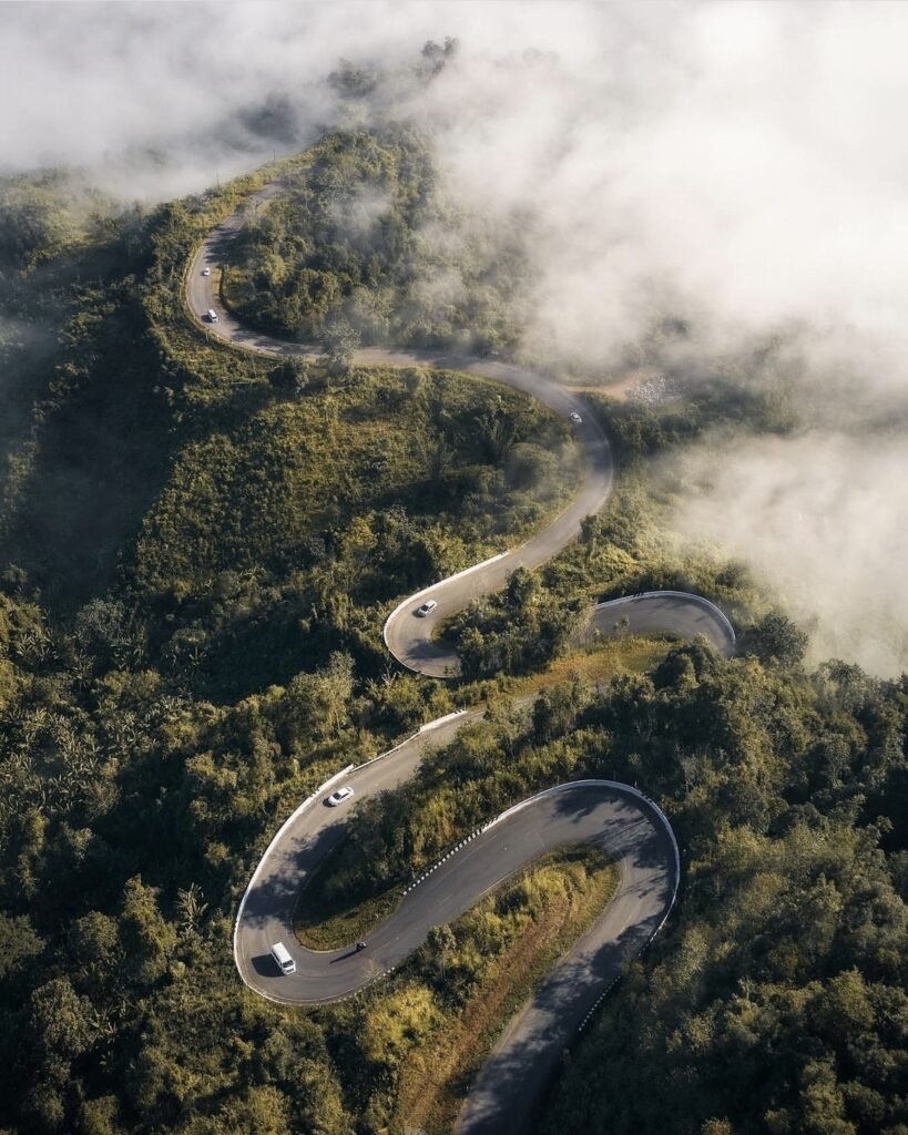
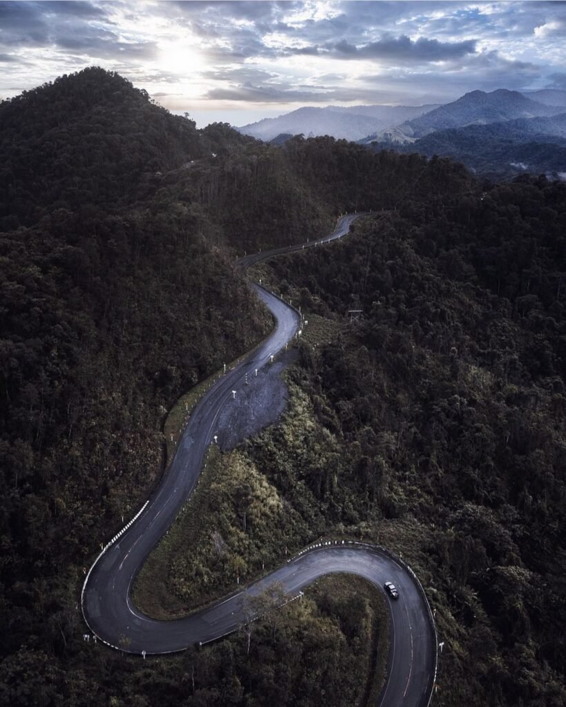
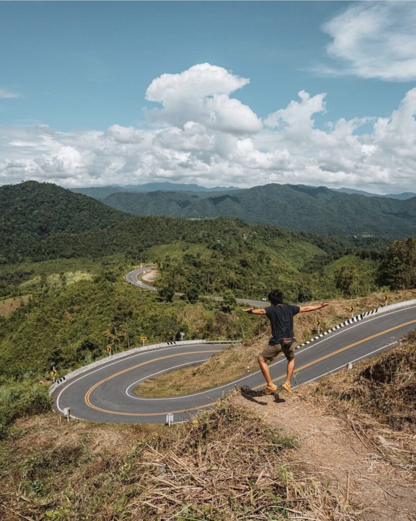
Highway 1081 between Santi Suk and Bo Kluea is one of the most dramatic drives in Thailand. Locals call it the sky road because it follows the ridges, often above the clouds. The best-known stretch is a set of hairpins that, seen from above, trace the number 3; there is a roadside parking area with small shops, and photographers gather there at sunrise.
Take it seriously. The road is steep, narrow and relentlessly winding, so stop only at the designated parking areas. The August 2026 floods damaged roads in the area, mainly Highway 1256 via Doi Phu Kha, so check conditions before you set off.
- Attraction Type
- Scenic Road / Viewpoint
- Location
- Open in Google Maps
- Cost
- Free
- Best Time To Visit
- Sunrise, November – February
- How To Get There
- Highway 1081 from Santi Suk towards Bo Kluea
- What to Pack
- Motion sickness tablets / Jacket
12Ban Sakat
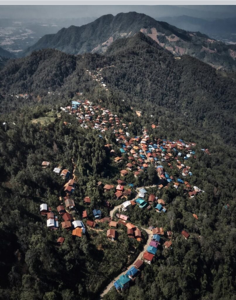
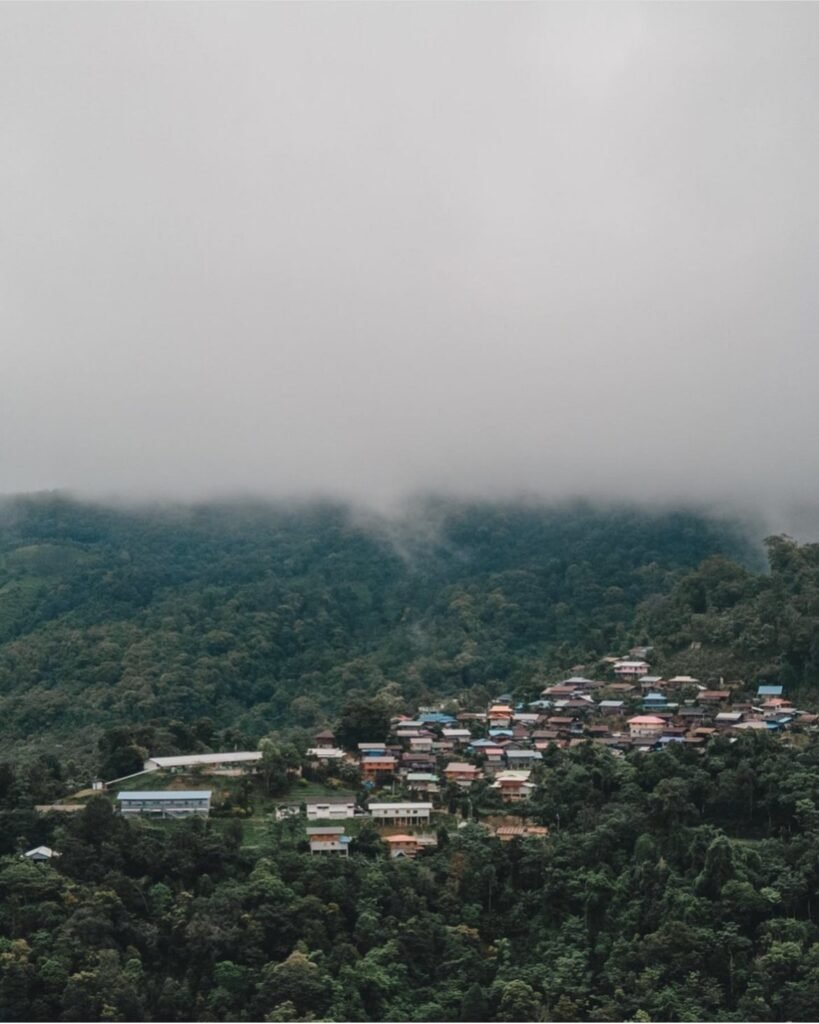
A Lua hill village above Pua where families grow miang (fermented tea leaves), makhwaen pepper and specialty coffee. Homestays and small cafes line the ridge, and on cool-season mornings the valley below fills with mist.
Sleep here. Day-trippers who arrive after 9am usually miss the mist entirely. The road up is paved but narrow, so drive it in daylight.
- Attraction Type
- Village
- Location
- Open in Google Maps
- Cost
- Free
- Best Time To Visit
- Sunrise, November – February
- How To Get There
- About 22 km (35 minutes) from Pua town

13Ban Chakkaphat
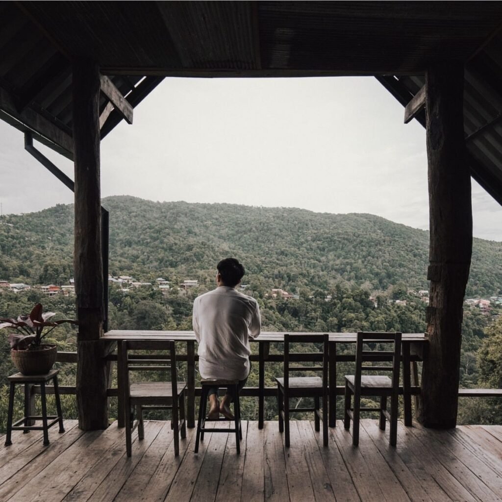
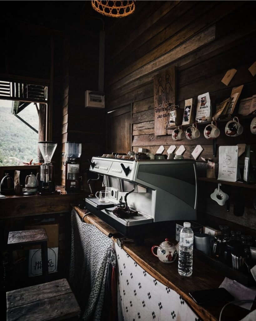
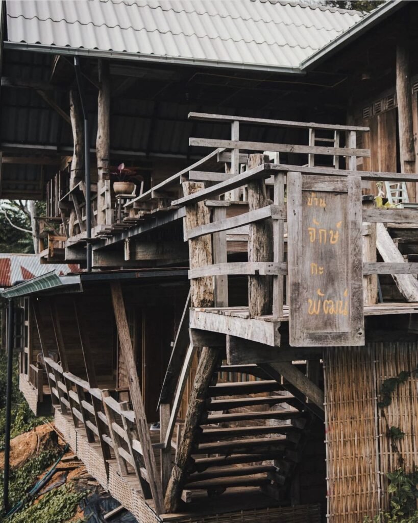
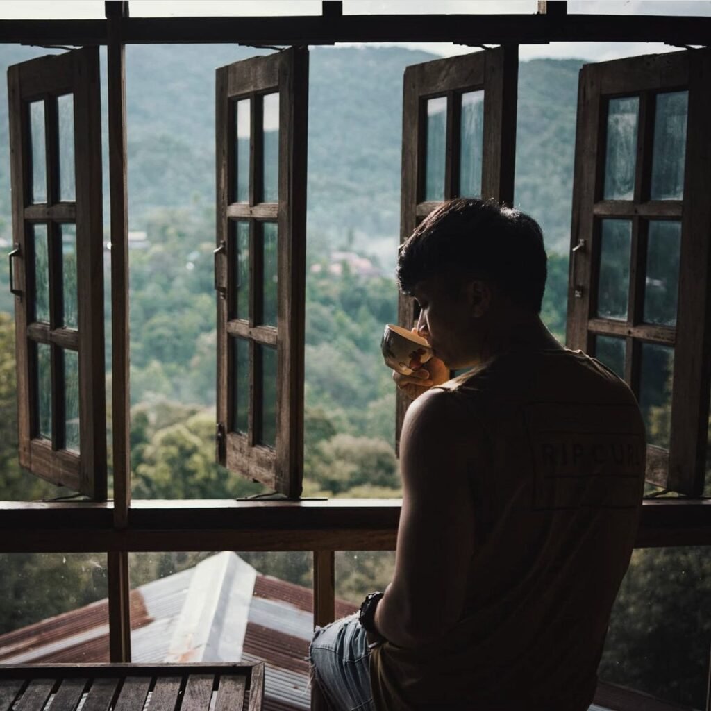
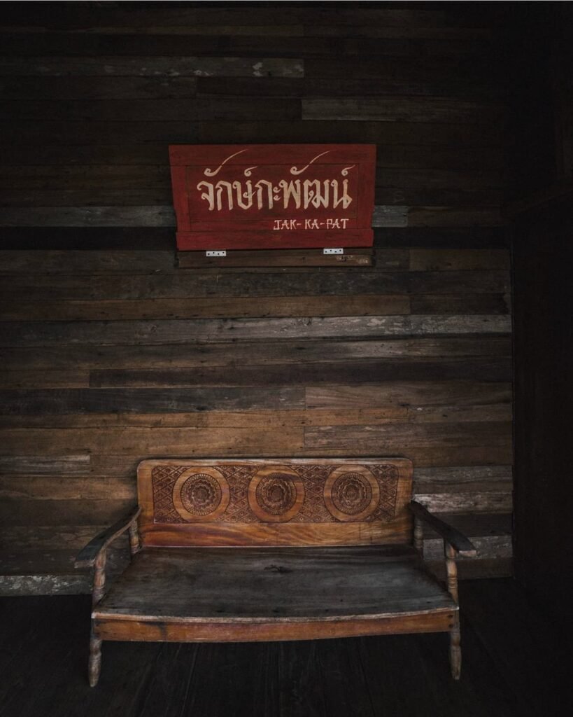
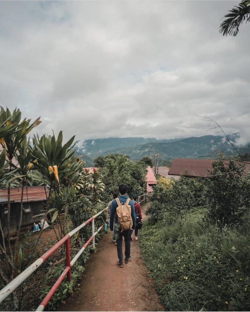
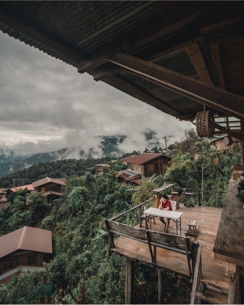
A multi-level wooden house partway up Doi Sakat, run as a cafe and small homestay, with mountain views from every terrace. They roast their own coffee: order it with the homemade scones or whatever else has come out of the oven.
- Attraction Type
- Cafe / Homestay
- Location
- Open in Google Maps
- Cost
- Varies
- Number
- 099 801 8503
- Opening Hours
- Cafe daily, 08:00 to 17:00

14Oun I Baimiang
A cafe and stay in Sakat, named after the miang tea the village grows, with wooden houses among the trees and breakfast tables facing the hills. The catch is the walls: the rooms are poorly soundproofed, so noise from neighbours and groups carries. Light sleepers should look elsewhere.
- Attraction Type
- Cafe / Homestay
- Location
- Open in Google Maps
- Cost
- Varies
- Number
- +66 65 897 8636



15Doi Phu Kha National Park
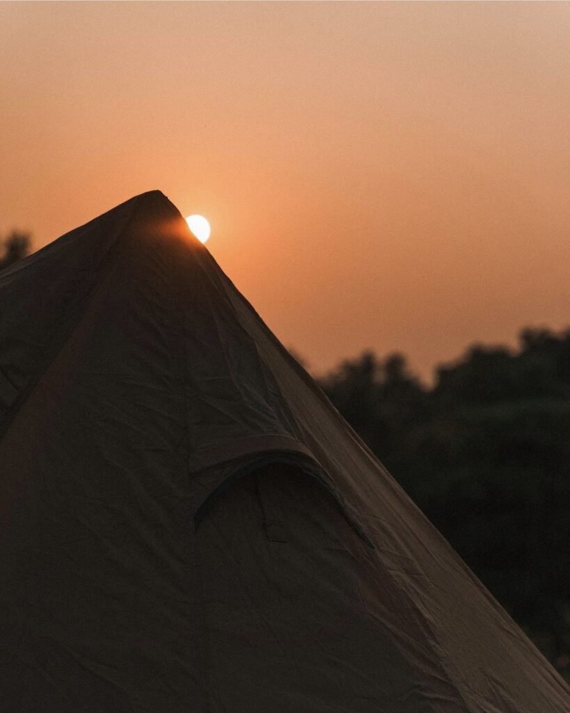
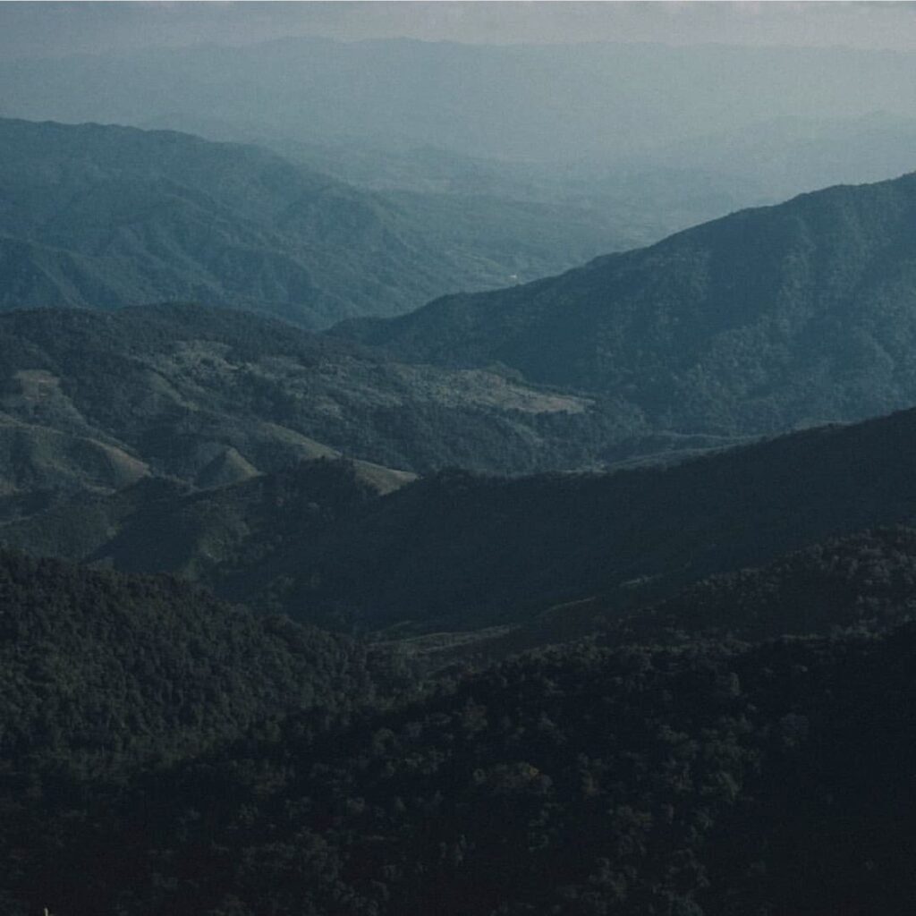
The park spans the high ridges between Pua and Bo Kluea. Highway 1256 runs through it, and its highest point, the 1715 viewpoint, is the place for sunrise or sunset; a short trail leads on to a campsite. From February to mid-March look out for the pink blossom of the rare Chomphu Phu Kha tree.
Plan around the closure: the park shuts every year from 1 June to 30 September. In season you can hire a tent (about ฿450 a night). Book by phone, as the online system has been unreliable.
- Attraction Type
- National Park / Viewpoint
- Location
- Open in Google Maps
- Cost
- ฿40 Thai / ฿200 foreign adults, plus vehicle fee
- Best Time To Visit
- October – February; February – March for the blossom
- Opening Hours
- Visitor centre daily, 08:00 to 16:30; closed 1 June to 30 September
- Number
- 082 194 1349
- How To Get There
- About 24 km from Pua on Highway 1256
- What to Pack
- Warm layers / Tent if camping


16Ban Mani Phruek
Ban Mani Phruek is a Hmong and Lua village at about 1,400 to 1,600 metres in the mountains of northern Nan, known for shade-grown speciality coffee and cold mornings (2°C was recorded at the top in late November). Around it are wild Himalayan cherry trees, the Phu Hua Lan viewpoint and Doi Pha Phueng peak, and seasonal Nam Poen waterfall, a 50-metre drop that disappears into a cave in Doi Phu Kha National Park.
The road is the catch: leave Highway 1080 at Ban Na Nun (around km 77 to 78) for a steep, winding climb on part-dirt road, about two hours, where a 4×4 is advised. Nam Poen is not officially open; the community runs trips by farm tractor (about 1,500 THB per group of up to seven) over 3 km of mud, then rope descents. It flows June to November, best July to September. Stay a night in a homestay.
- Attraction Type
- Village, viewpoints and waterfall
- Location
- Open in Google Maps
- Cost
- Village free; Nam Poen waterfall tractor and guide about 1,500 THB per group; homestays from about 1,300 THB per person with meals (check before you go)
- Opening Hours
- Development project 08:00 to 17:00; waterfall trips by arrangement with the village tourism group
- Best Time To Visit
- Cool season for cold mornings, mist and cherry blossom; July to September for Nam Poen waterfall
- How To Get There
- From Thung Chang, about 40 to 47 km: Highway 1080 to Ban Na Nun (km 77 to 78), then turn off on a steep mountain road; about 2 hours, 4×4 recommended. Roughly 2 hours from Nan airport

17Doi Pha Phueng
Doi Pha Phueng (ดอยผาผึ้ง) is a grassy limestone ridge of about 1,600 m above Ban Manee Phruek, a Hmong and Mlabri hill village in Doi Phu Kha National Park close to the Lao border. There are four low summits linked by short paths, and from the top you look across the Doi Phu Wae ridge, Doi Cho and Bo Kluea district. It is a sunrise and sunset spot, with a sea of mist on cool mornings.
Go between November and February for clear, cold mornings; the community says visitors arrive from early December. The climb to the village is steep and partly unsealed, so a 4×4 or a strong pickup is the safe choice. From the village, local drivers run pickups up the muddy track in about 20 minutes, then it is a short walk. Camping and fires on the peak are not allowed, so sleep at a village homestay. Bring warm layers and cash.
- Attraction Type
- Viewpoint / mountain peak
- Location
- Open in Google Maps
- Cost
- Community pickup about 700 THB per vehicle return from the village; any national park fee unconfirmed (check before you go)
- Opening Hours
- Daylight hours; go up for sunrise or sunset with a village driver
- Best Time To Visit
- November to February for mist and clear views
- How To Get There
- From Nan take Highway 1080 north; at around km 77 to 78 near Ban Na Nun turn right for Ban Manee Phruek (about 100 km from Nan in total; sources give 2 to 5 hours). 4×4 recommended. From the village, hire a local pickup (about 20 minutes) then walk a short way to the summits.
Bo Kluea and Ban Sapan
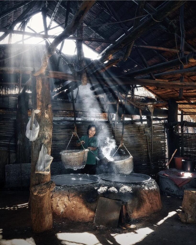
Over the mountains on the Lao border, Bo Kluea is known for its ancient salt wells and the valley village of Ban Sapan. There is no public transport and mobile signal is patchy, so bring your own wheels, download maps before you leave Pua, and plan to stay at least one night.




18Khun Nan National Park
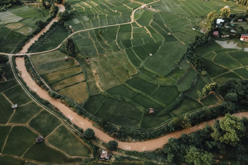
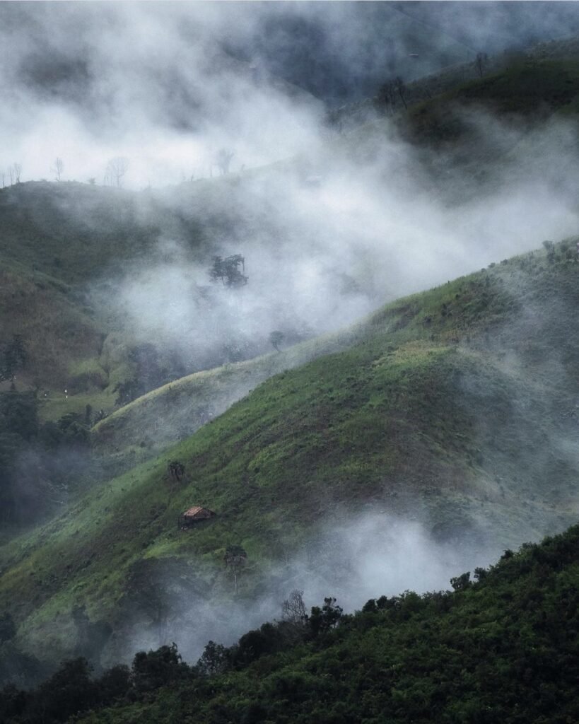
This park protects the source of the Nan River. Its viewpoints, including the one at Huai Ti ranger station, look out over ridge after forested ridge towards Laos and down into the Sapan valley.
Getting there is the hard part. The track of about 2 km to the viewpoint is rough and can be muddy, and low cars struggle. There is a campground and a few bungalows at headquarters, but facilities are basic.
- Attraction Type
- National Park / Viewpoint
- Location
- Open in Google Maps
- Cost
- ฿20 Thai / ฿100 foreign adults
- Best Time To Visit
- Sunrise, November – February
- Opening Hours
- Daily, 08:30 to 16:30
- How To Get There
- Near Bo Kluea, via Highway 1081 or 1256


19Ban Sapan
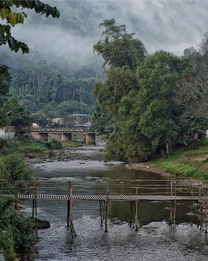
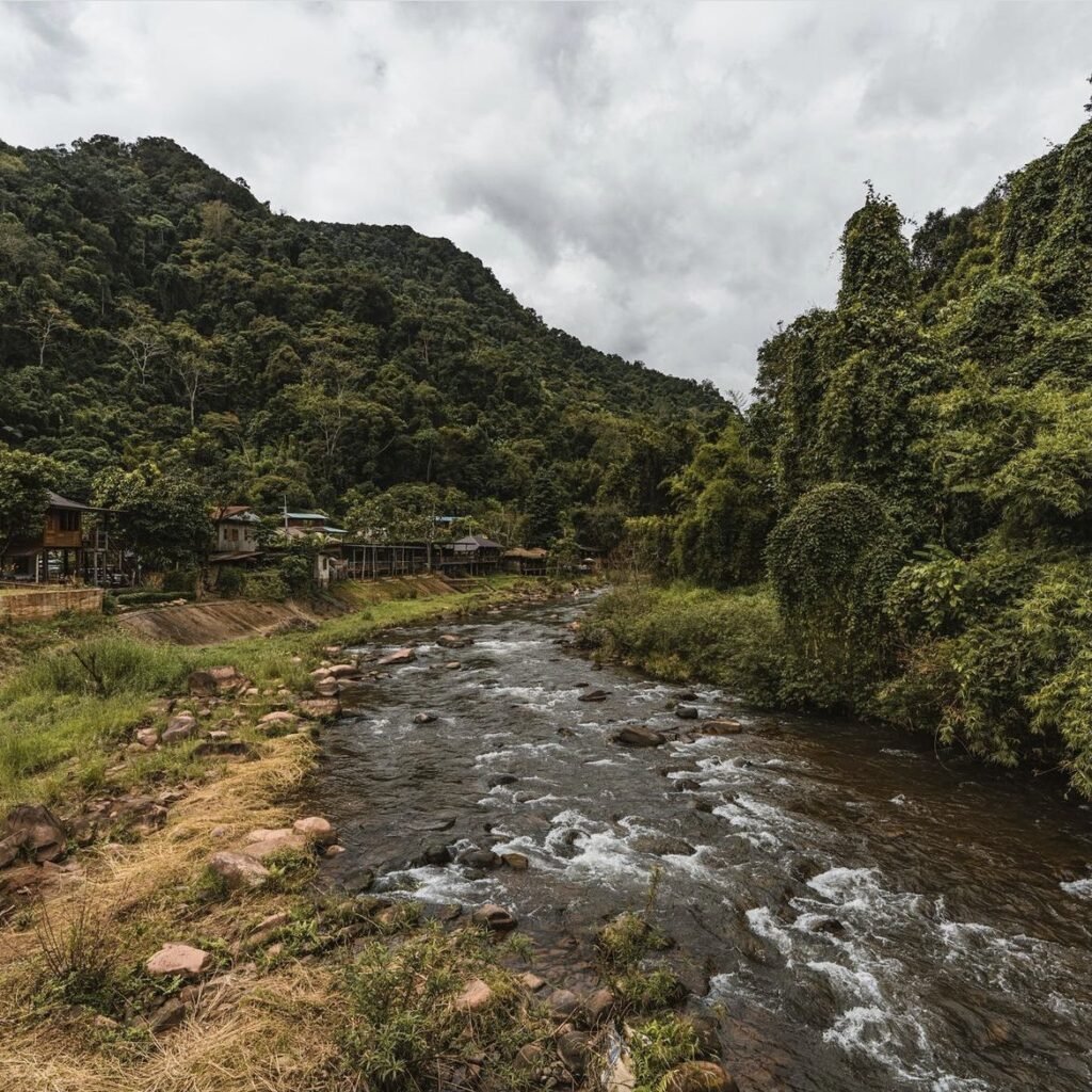
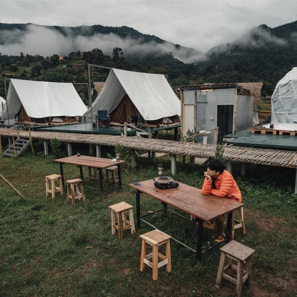
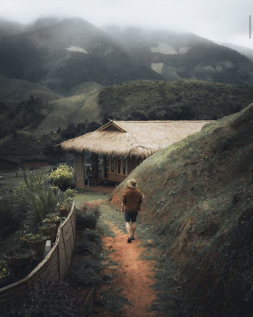
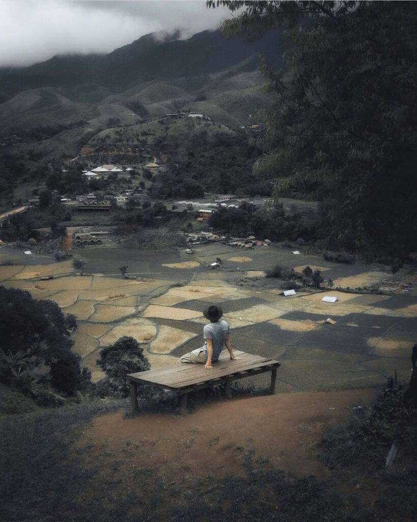
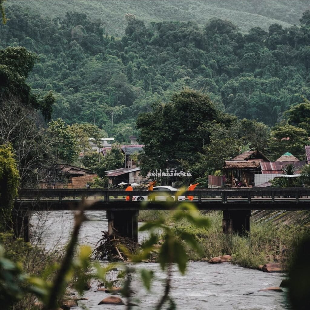
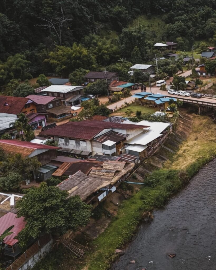
A small Lua farming village where two mountain streams meet, ringed by terraced rice fields and forest. More than a hundred homestays, cafes and riverside huts have opened here, yet it still feels like a working village rather than a resort.
In the cool season, be up before 7am for the mist; from August to October, come for the green fields. Weekends late in the year book out, so reserve ahead. During the August 2026 floods, roads into the area were cut for some days, and the village’s homestays put up stranded visitors.
- Attraction Type
- Village
- Location
- Open in Google Maps
- Cost
- Free
- Best Time To Visit
- November – February for mist; August – October for green fields
- How To Get There
- About 2.5 hours from Nan via Santi Suk and Highway 1081, or via Pua and Doi Phu Kha



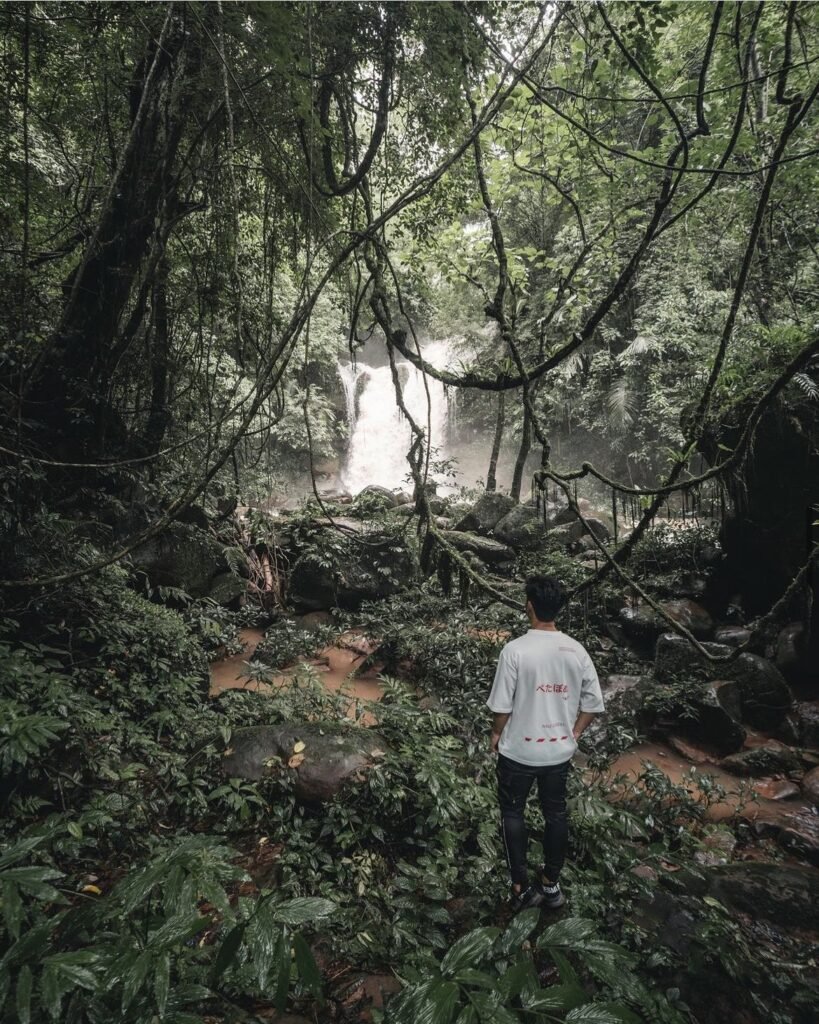
20Sapan Waterfall
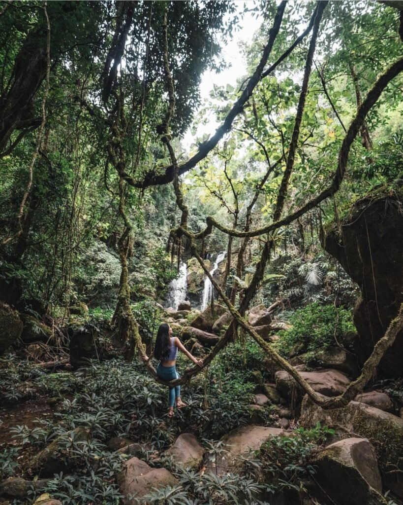
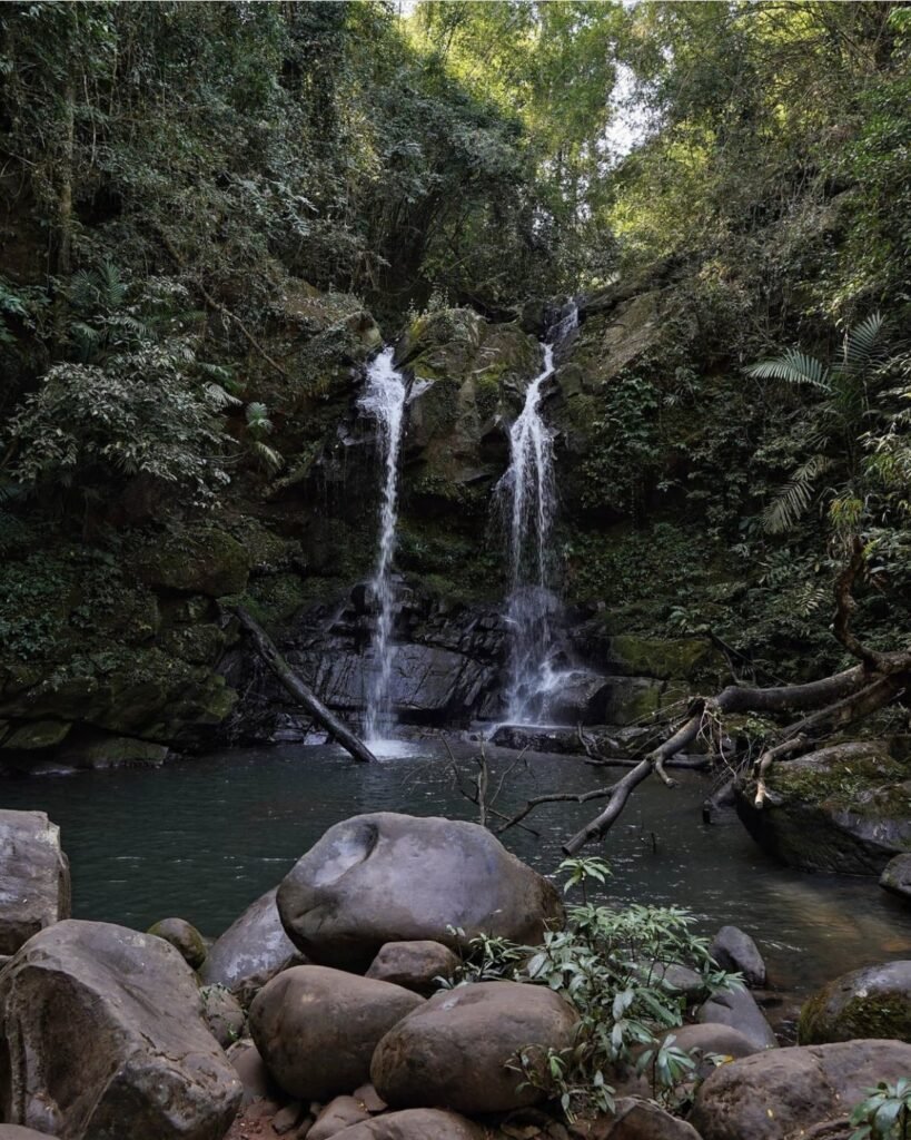
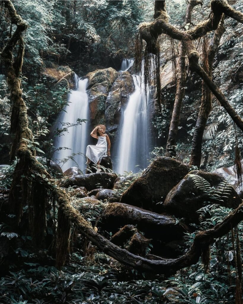
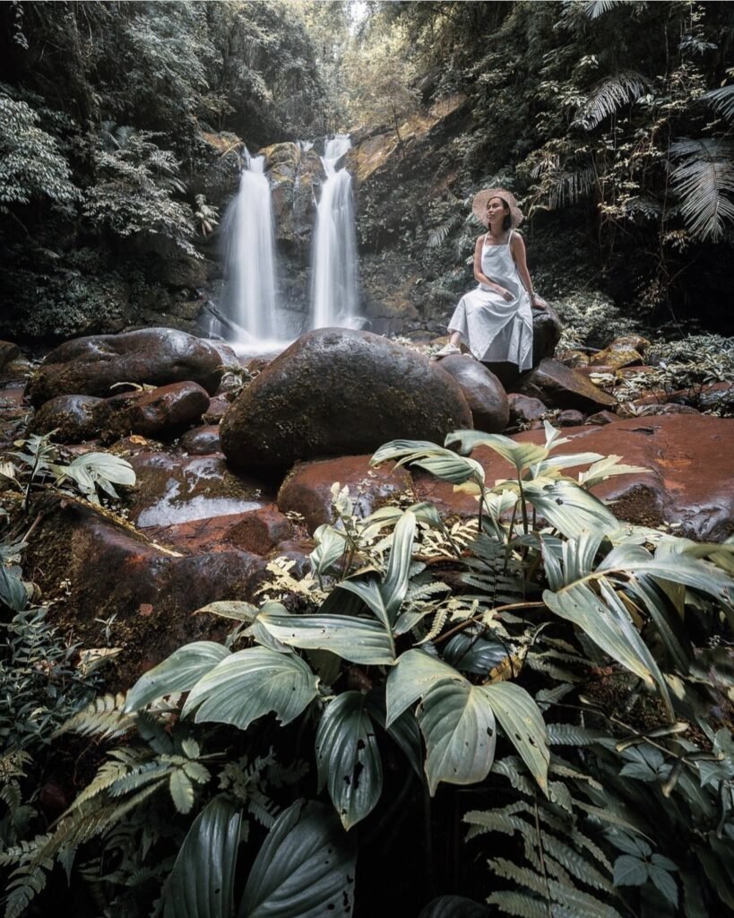
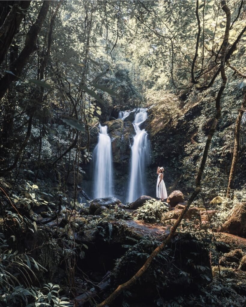
A three-tier waterfall just outside Ban Sapan, inside Khun Nan National Park. The first tier is right by the road, but keep going: the third tier, about 700 metres up a stepped trail with handrails most of the way, is the most impressive. It flows all year and is fullest in the rainy season.
- Attraction Type
- Waterfall
- Location
- Open in Google Maps
- Cost
- National park fee (฿20 Thai / ฿100 foreign adults)
- Best Time To Visit
- July – November
- Opening Hours
- 6am – 6pm
- What to Pack
- Shoes with grip
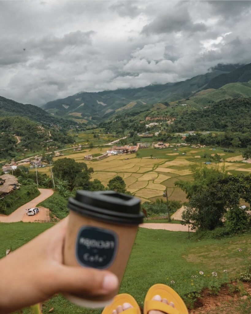

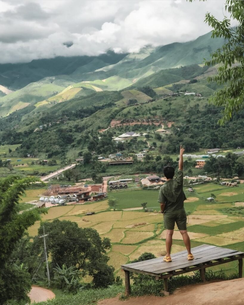

21Yut Wela Cafe
Yut Wela means “stop time”, and the terrace of this hillside cafe near Wat Sapan looks straight down the Sapan valley. Drinks are pricey for Nan, but you are paying for the view. There is a campground and viewpoint alongside. Avoid weekends if you can, and take the steep access road slowly.
- Attraction Type
- Cafe / Viewpoint
- Location
- Open in Google Maps
- Cost
- Varies
- Opening Hours
- Daily, 06:30 to 18:00
- Number
- 095 532 2532
- Website
- Facebook page

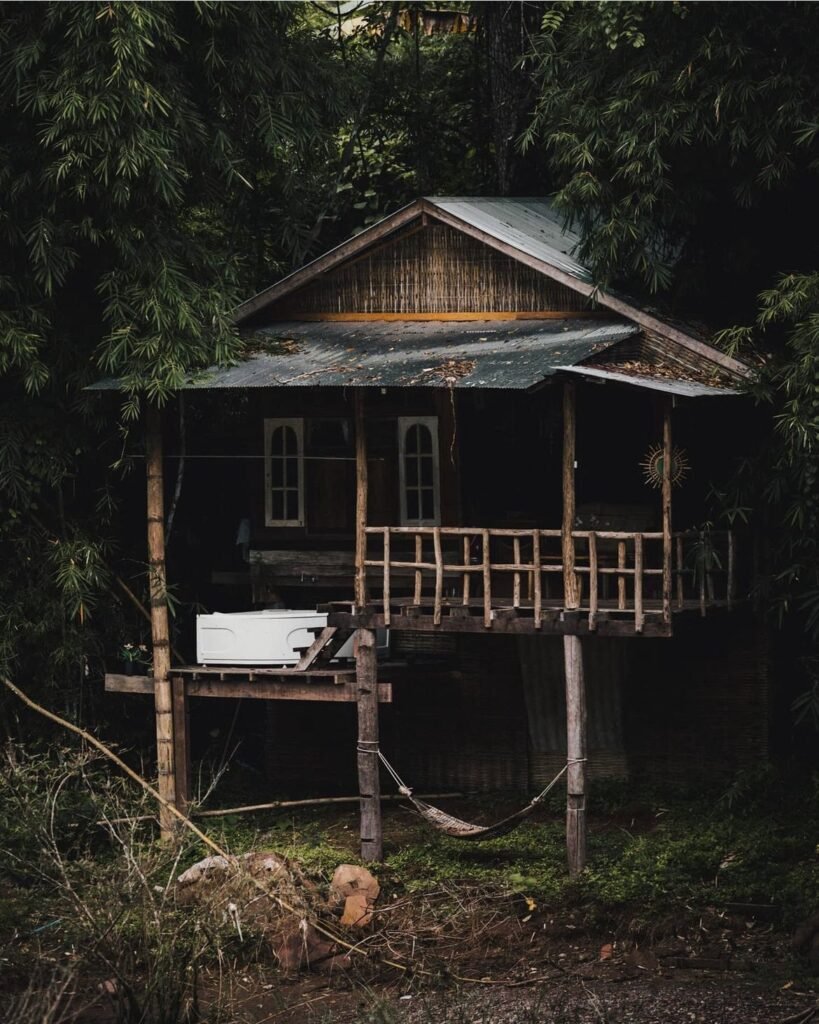

22Oun I Mang
A homestay of around ten rooms in Sapan, with wooden stilt houses in the forest and a small cafe. The rooms sit by the stream but also close to the road, so traffic noise carries, and rates are high for the area. Book it for the setting, not for value.
- Attraction Type
- Homestay
- Location
- Open in Google Maps
- Cost
- Varies
- Number
- 062 645 4666
- Website
- Facebook page
23Klin Ai Sapan River View
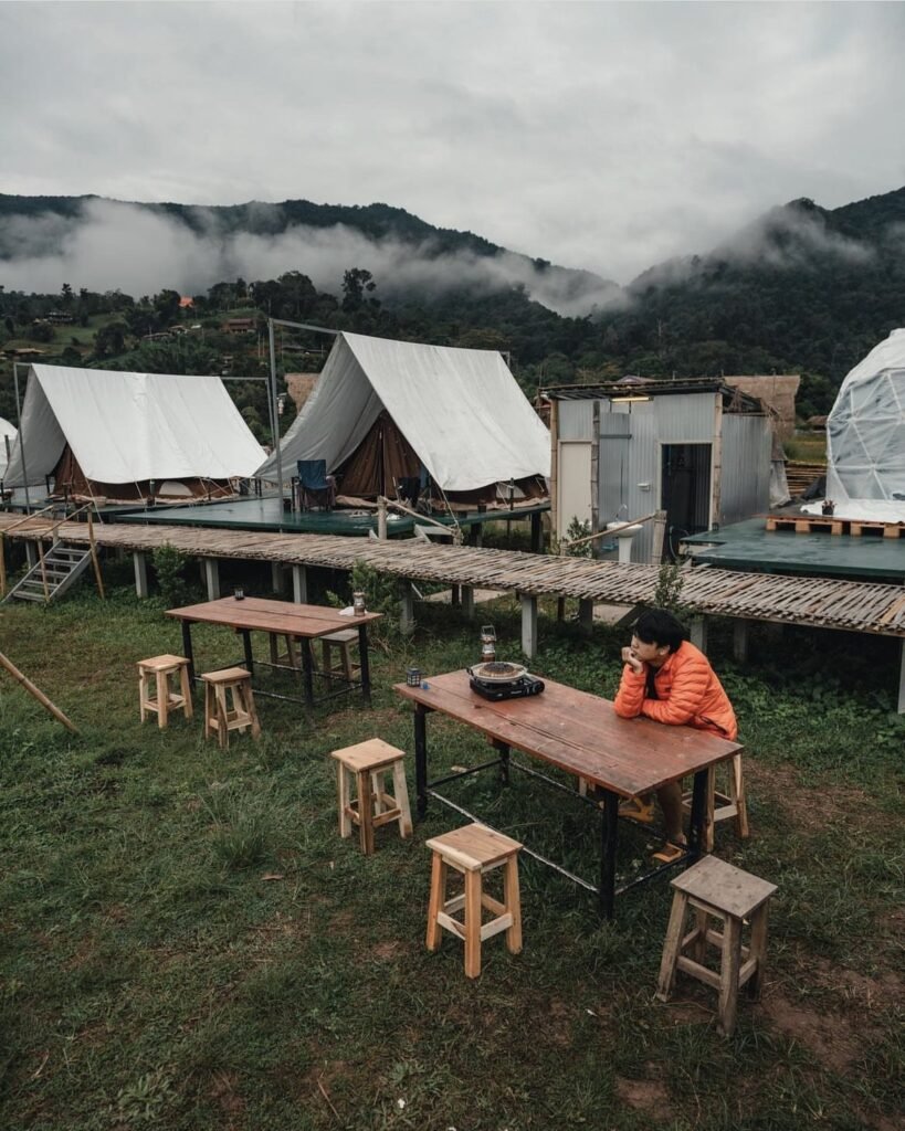
Simple huts over the stream and fields in Sapan, for a straightforward riverside stay. Bookings are by phone.
- Attraction Type
- Homestay
- Location
- Open in Google Maps
- Cost
- Varies
- Number
- 062 819 3365

24Phu Kha Nan Resort
A small resort of private villas in Bo Kluea, opened in 2023, a short walk from the old salt wells and about 6 km from Khun Nan National Park. Dinner and breakfast are usually included in the rate, which makes it an easy base for a night on the border.
- Attraction Type
- Resort
- Location
- Open in Google Maps
- Cost
- Varies
- Number
- 088 639 1555

25Ban Wen Rice Terraces
Ban Wen (บ้านเวร) is a small farming village in Bo Kluea Nuea subdistrict, in a bowl of mountains about 20 km north of Sapan on the road towards Chaloem Phra Kiat. Its draw is a wide amphitheatre of terraced rice fields, and on the right mornings mist sits in the valley below the homestays. Several villagers now run homestays and cafés with terrace views, some within a few hundred metres of the main viewpoint.
The terraces are greenest in the rainy season; the rice ripens to gold by around mid-October and is harvested soon after. Mist is most reliable late in the rainy season and early in the cool season, after rain, so stay the night rather than drive in. The road from Sapan is mountainous with many bends, and fog can cut visibility early and late in the day, so drive slowly.
- Attraction Type
- Village and rice terraces
- Location
- Open in Google Maps
- Cost
- Free
- Opening Hours
- Open access (village); be considerate of farmers' fields
- Best Time To Visit
- July to October for green or golden terraces; late rainy to early cool season mornings for mist
- How To Get There
- About 20 to 23 km north of Sapan (Bo Kluea) by mountain road towards Chaloem Phra Kiat; own transport needed