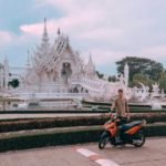
Phetchabun is where Bangkok goes to feel cold. On cool-season mornings mist fills the mountains around Khao Kho and Phu Thap Boek, the hillsides are dotted with glamping camps and cabbage farms, and the mosaic temple of Wat Phra That Pha Son Kaew is one of the most photographed in the country. The catch is its popularity: on weekends the hills are packed.
Buses from Bangkok's Mo Chit terminal reach Phetchabun town and Lom Sak in about five to six hours, but you really need your own car or motorbike to get around the hills. Highway 12 between Lom Sak and Khao Kho links most of the sights.
The season is November to February, with chilly nights, clear days and the best chance of a sea of mist. Go midweek if you can, avoid public holidays, and bring warm clothes for the mornings.
How to split your days. Base yourself in a Khao Kho camp and be at Pha Son Kaew early the first morning. Spend the second night up on Phu Thap Boek for sunrise over the mist. Around Lom Sak, Huai Tong Bridge is best on a misty morning, and Than Thip Waterfall is at its best when the water is up, from July to November.
Good to know
- Tourist Police: 1155
- Emergency (ambulance): 1669
- Wat Phra That Pha Sorn Kaew (visitor guide)

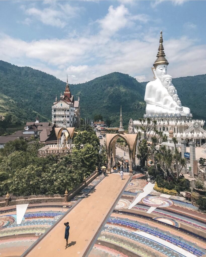



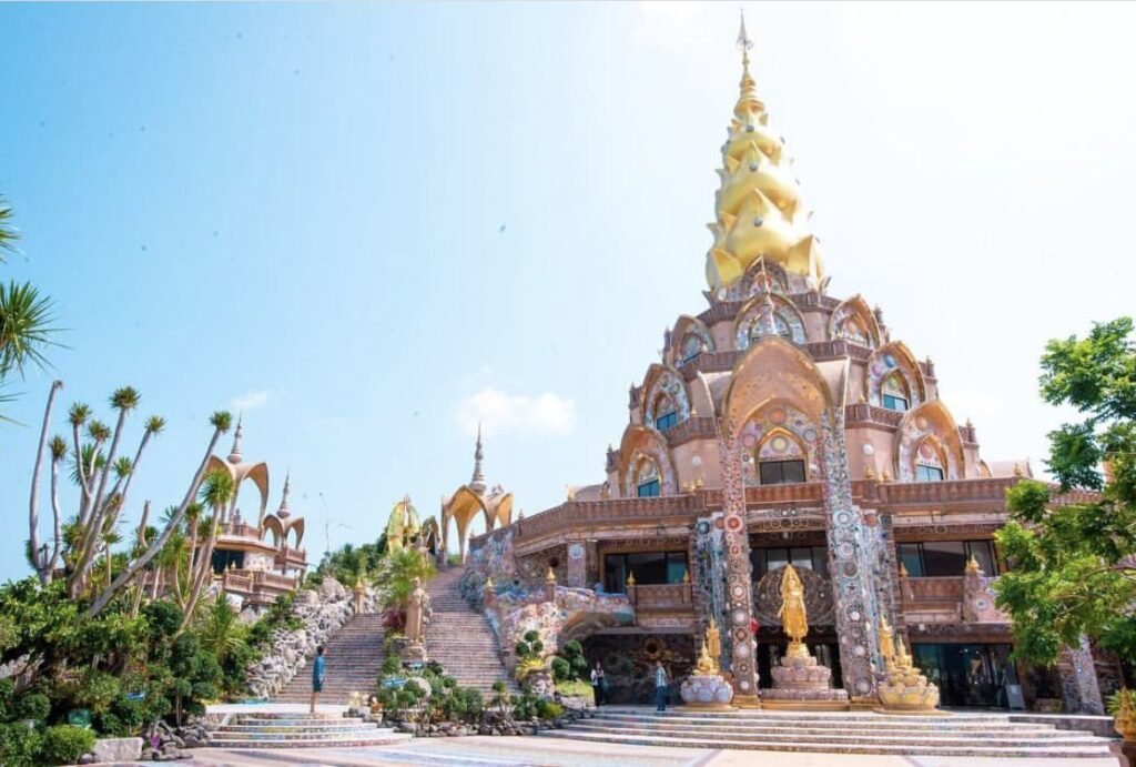
01Wat Phra That Pha Son Kaew
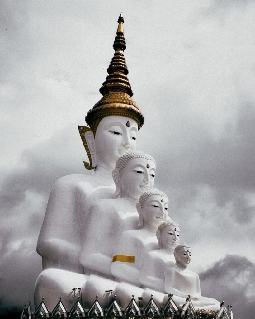
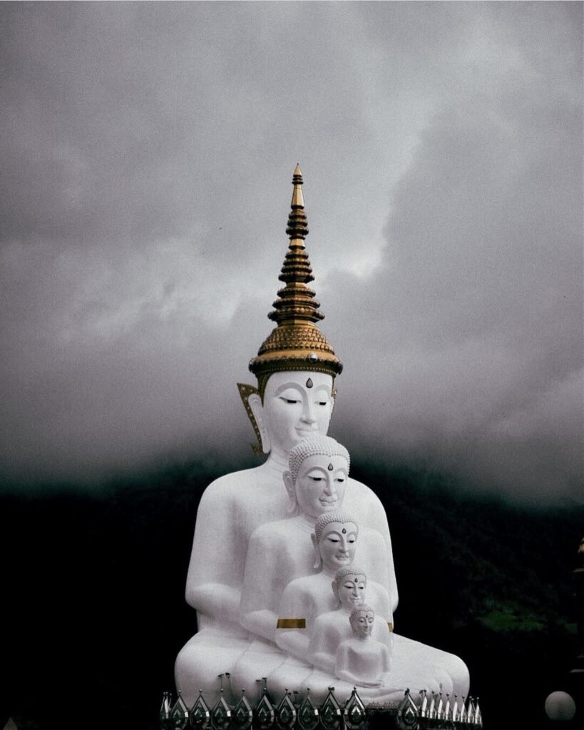
Get here early. Wat Phra That Pha Son Kaew sits on an 830-metre ridge in Khao Kho, with five white seated Buddhas lined up on a terrace above the valley, and every surface of its chedi and halls is covered in mosaics of ceramic, glass and coloured stone.
Arrive around 8am in the cool season and you may see the Buddhas rising out of a sea of mist, before the tour coaches fill the car park. Cloud often drifts through the temple later in the day too. The road up is a winding mountain drive. Cover shoulders and knees, and bring a jacket.
- Attraction Type
- Temple and viewpoint
- Location
- Open in Google Maps
- Cost
- Free (donations welcome)
- Opening Hours
- Daily, 05:00 to 21:00
- Best Time To Visit
- Early morning, November to February
- How To Get There
- About 1 hour by car from Phetchabun town via Highway 12; no public bus
- What to Pack
- Clothes covering shoulders and knees, and a jacket for the morning




02Phu Thap Boek
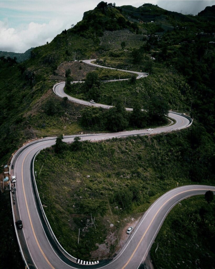
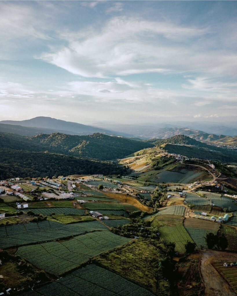
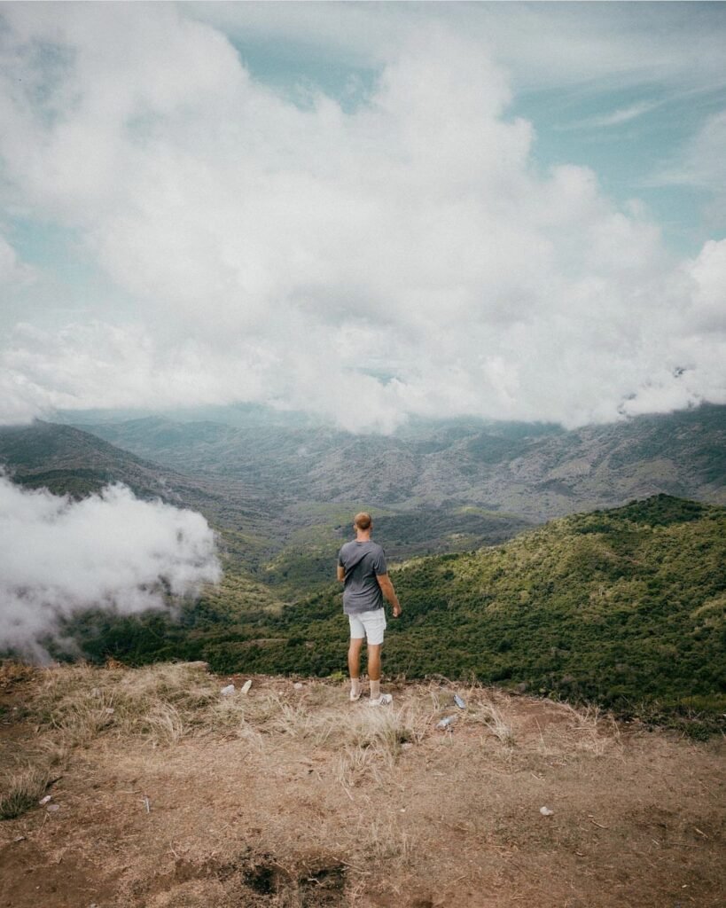
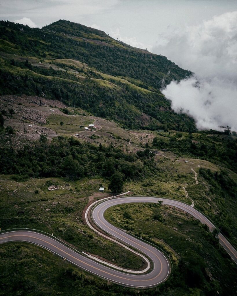
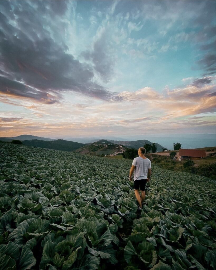
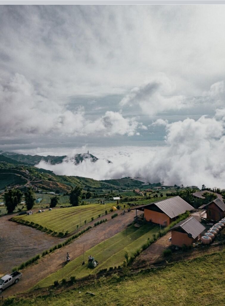
At about 1,768 metres, Phu Thap Boek is Phetchabun’s highest mountain, and the place to spend a night. A Hmong village farms cabbages across its slopes, and a winding road climbs through the fields to a ridge lined with campsites and cliffside homestays.
Stay over for sunrise: on cool-season mornings the valleys below fill with cloud. It’s genuinely cold at the top, so pack a warm jacket, a hat and a torch. After rain, the steep road with its tight bends is best tackled in a 4WD.
- Attraction Type
- Mountain and viewpoint
- Location
- Open in Google Maps
- Cost
- Free to visit. Camping and homestays extra (from about 250 THB per person)
- Best Time To Visit
- Sunrise, November to February
- How To Get There
- Drive or take a local pickup taxi from Lom Kao. The road is steep with tight bends, so a 4WD is best after rain
- What to Pack
- Warm jacket, hat and a torch




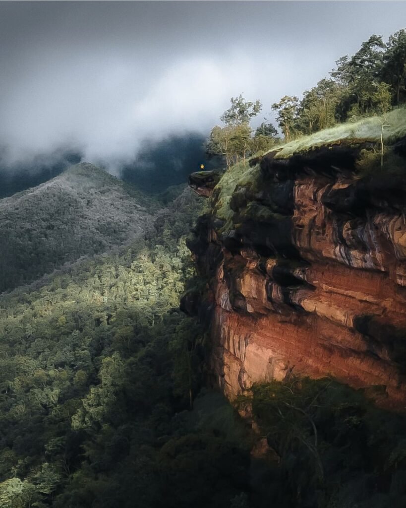
03Khao Kho Camps & Viewpoints
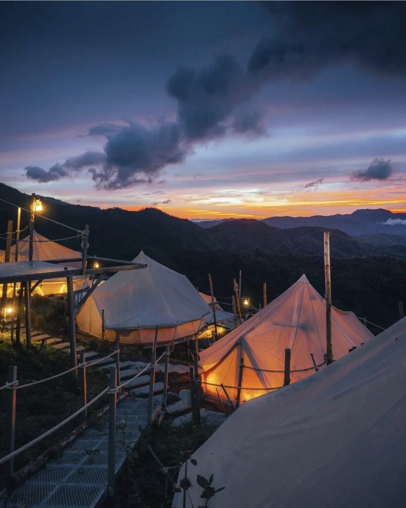
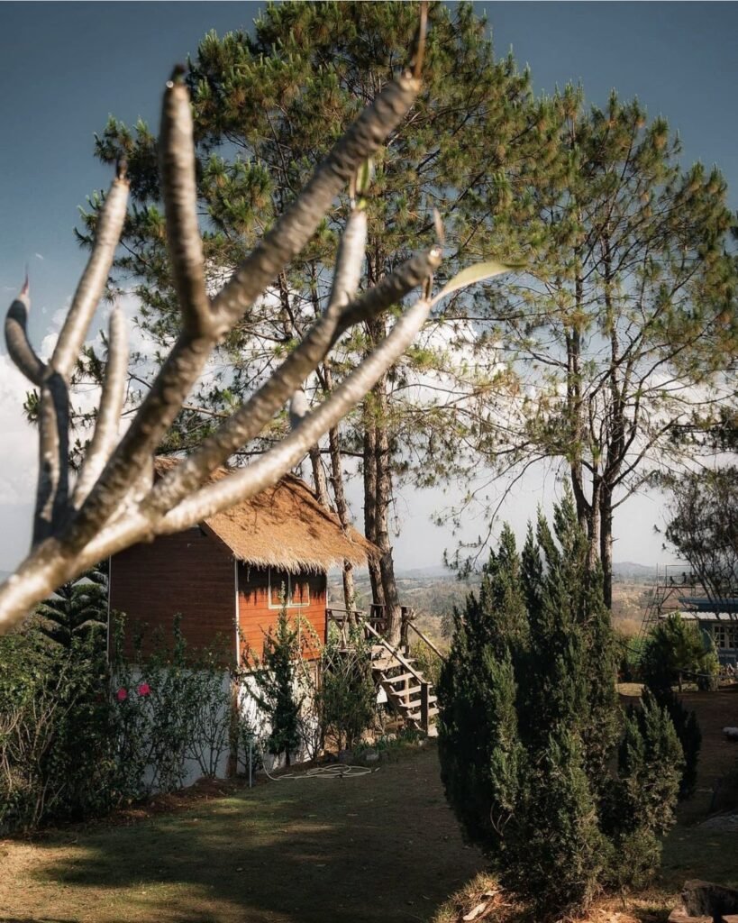
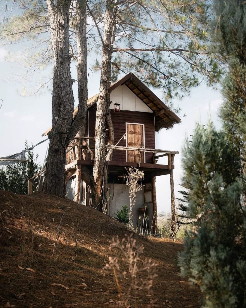
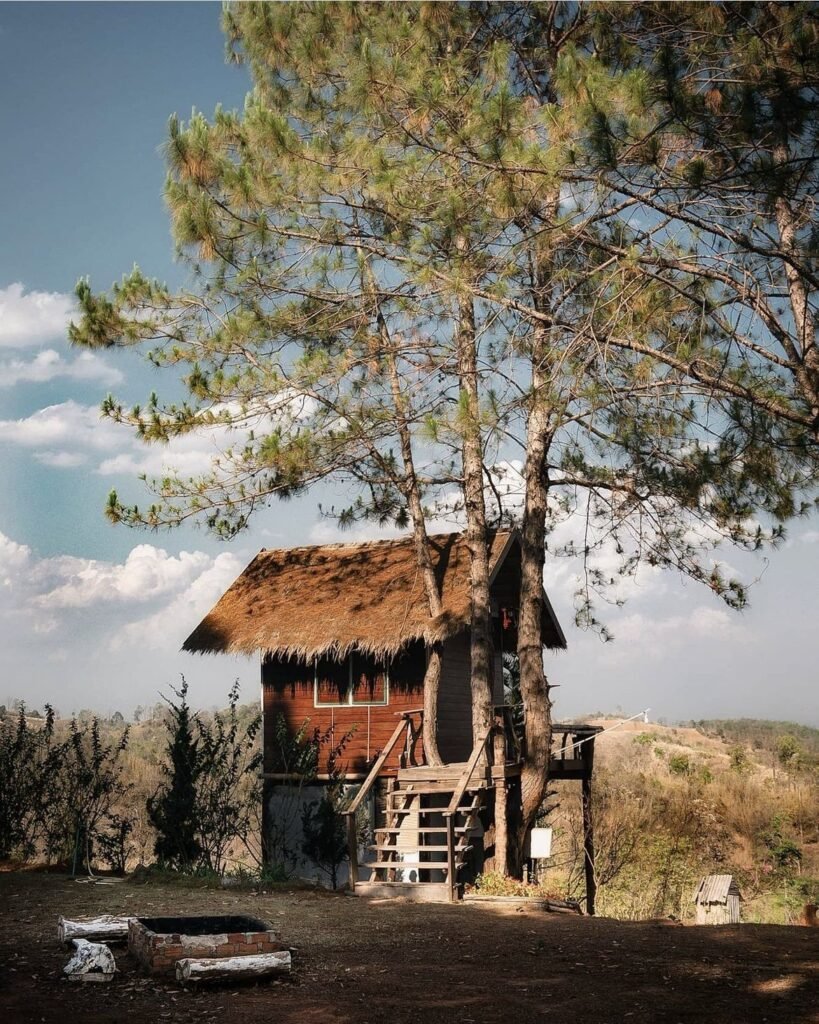
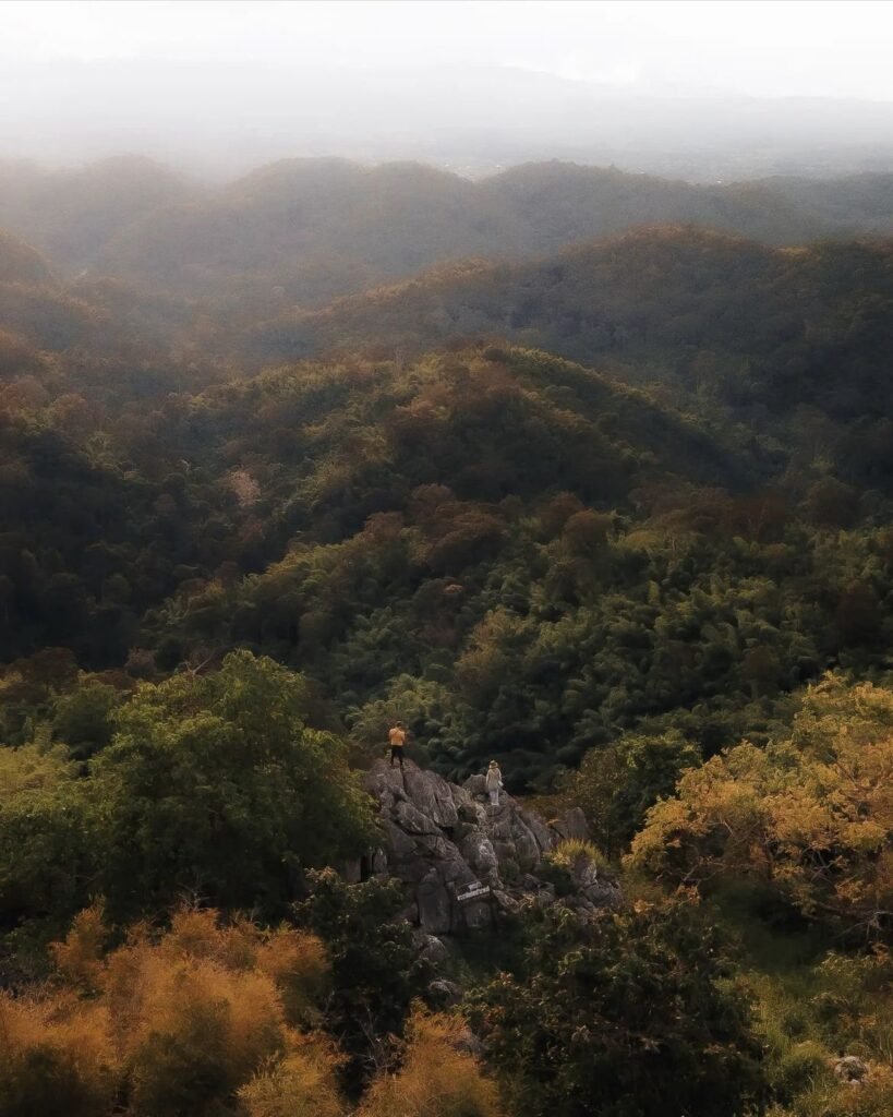
Waking up to mist in the valleys is the main reason people come to the Khao Kho hills, and they are full of campsites, tent resorts and wooden cabins built for exactly that. Many are around Khao Kho and Khaem Son, close to Pha Son Kaew, which makes them the obvious base. Book ahead for weekends between November and February.
- Attraction Type
- Glamping and viewpoints
- Location
- Open in Google Maps
- Cost
- Varies by camp
- Best Time To Visit
- November to February
- How To Get There
- By car along Highway 12 and the Khao Kho roads
- What to Pack
- Warm layers and insect repellent
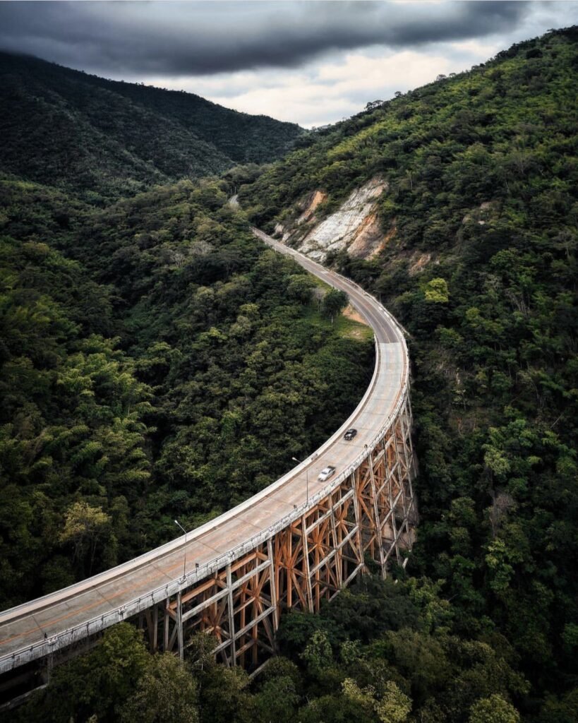

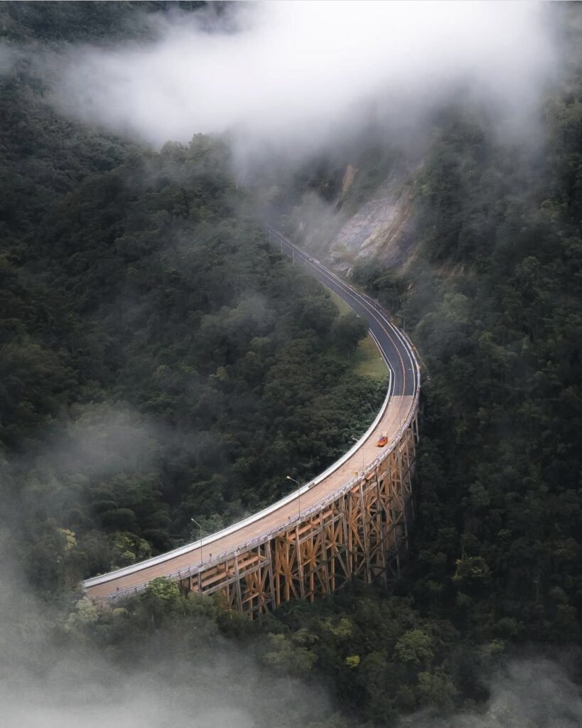
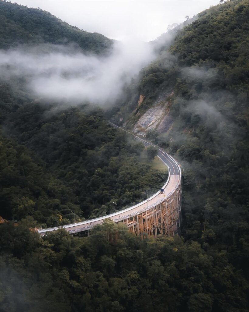
04Huai Tong Bridge
Come on a misty morning. Huai Tong Bridge carries Highway 12 in a long curve through the forest near Lom Sak, on pillars more than 50 metres tall, and when cloud drifts under the deck it looks like a road floating over the jungle.
It’s a working highway bridge, so take photos from the roadside viewpoints, where a few stalls sell coffee and snacks, and don’t stop on the bridge itself.
- Attraction Type
- Landmark and viewpoint
- Location
- Open in Google Maps
- Cost
- Free
- Best Time To Visit
- Misty mornings in the rainy and cool seasons
- How To Get There
- On Highway 12 east of Lom Sak, towards Chum Phae and Khon Kaen
- What to Pack
- A rain jacket in the wet season

05Than Thip Waterfall
A forest waterfall near Lom Sak that drops about 26 metres into a sandy pool, with a stepped stretch of stream elsewhere in the park tumbling over around ten smaller falls. Crowds are usually light.
Go between July and November, when the water is strongest. The walk in follows a forest trail that gets slippery after rain. Part of the loop trail, including a suspension bridge, has been out of use awaiting repair.
- Attraction Type
- Waterfall
- Location
- Open in Google Maps
- Cost
- Free (check before you go)
- Best Time To Visit
- July to November, when the water is strongest
- How To Get There
- By car from Lom Sak, then a moderate walk on a forest trail
- What to Pack
- Shoes with good grip and swimwear
- Good to Know
- Part of the loop trail, including a suspension bridge, has been out of use awaiting repair.

06Pha Daeng Cliff, Lom Sak
Pha Daeng (ผาแดง, also Phu Pha Daeng) is a red sandstone cliff on the Lom Sak to Nam Nao stretch of Highway 12, rising roughly 200 m above the road. Locally it is promoted as a crustal fault edge (the English listings call it the Continental Margin Cliff), because it sits on the Phetchabun fault zone. The flat rock top, about 800 to 885 m up, looks over the forest of Phu Pha Daeng Wildlife Sanctuary, the highway twisting through it and, on clear days, Khao Kho.
You can see the cliff from the highway, but the view is from the top. Either climb the steep but short stairs from the Chao Pho Pha Daeng shrine, or drive round via Ban Wang Yao to the sanctuary office. The edge is a sheer drop, so keep well back. Mist is common on cool-season mornings from November to February. No entry fee is mentioned in any source.
- Attraction Type
- Viewpoint / cliff
- Location
- Open in Google Maps
- Cost
- No fee found in sources (check before you go)
- Opening Hours
- Not published; daylight hours advised (check before you go)
- Best Time To Visit
- November to February for cool air and mist; late afternoon for sunset
- How To Get There
- From Lom Sak take Highway 12 towards Nam Nao and Chum Phae to about km 18.5, at the Pho Khun Pha Mueang bridge. Climb the stairs from the Pha Daeng shrine, or cross the bridge, continue about 4 km, turn left and drive about 3 km to the Phu Pha Daeng Wildlife Sanctuary office. Own car or motorbike needed.