Ranong is the northernmost province on Thailand's Andaman coast, facing Myanmar across the Kraburi estuary. It is also the wettest province in the country, and that is what shapes a trip here: the hills stay intensely green, and the islands stay quiet. Koh Phayam and the islands of Laem Son National Park feel a long way from Phuket.
Ranong has a small airport with flights from Bangkok; the bus takes about nine hours. Boats for Koh Phayam leave from Ranong pier, and day trips to the national park islands run from Bang Ben beach.
Come between November and April, the dry season and the best time for the islands. From May to October the rain is heavy and many island resorts close, but that is when the hills are at their greenest.
How to split your days. Take the boat from Ranong pier for Koh Phayam, visit Grass Hill from Ranong town, ideally late in the afternoon, and start from Bang Ben beach for a day on Koh Kam and the Laem Son islands.
How we chose these spots. This is a short guide to four places on Ranong's coast and hills. The mangrove boardwalk is currently marked temporarily closed; we've kept it in, with its status, so you can check before you plan around it.
Good to know
- Tourist Police: 1155
- Emergency (ambulance): 1669
- Koh Kam, Laem Son National Park (visitor guide)


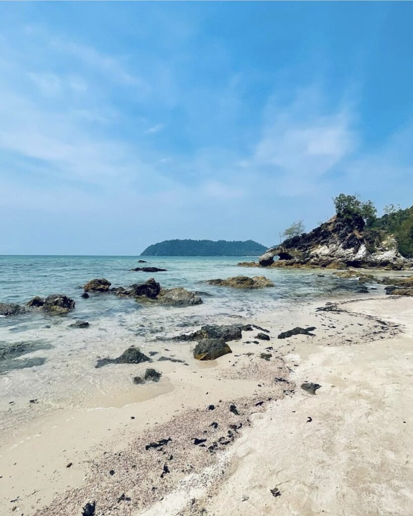
01Koh Phayam
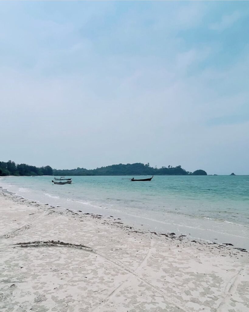
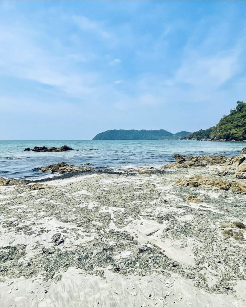
Koh Phayam is a small, hilly island with no cars. Getting around means a rented scooter on narrow concrete tracks, past cashew plantations to long beaches backed by bungalows.
Head for Ao Yai (Long Beach) on the west coast: it has the soft sand, the sunsets and the cleanest water for swimming. Ao Khao Kwai to the north is quieter. The east coast is the one to avoid for swimming, as it can be choppy and catches washed-up rubbish.
Hire your scooter at the pier, and bring enough cash for your stay, as ATMs are few.
- Attraction Type
- Island and beaches
- Location
- Open in Google Maps
- Cost
- Speedboat about 350 THB per person; slow boat about 200 THB
- Best Time To Visit
- November to April
- How To Get There
- Speedboat from Ranong pier (35 to 45 minutes) or slow ferry (about 2 hours)
- What to Pack
- Cash, insect repellent and a torch


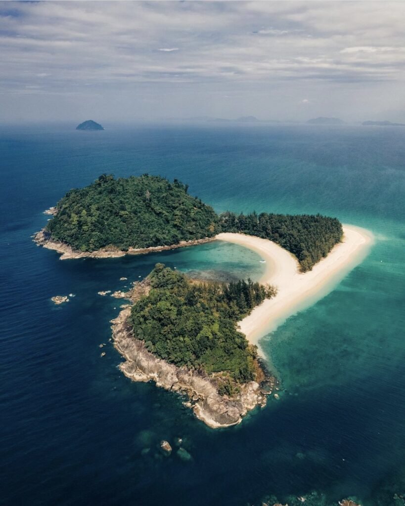
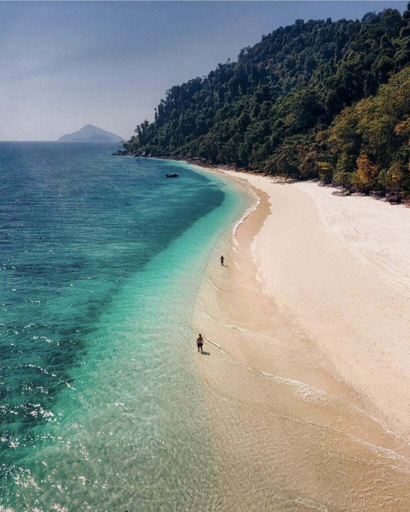
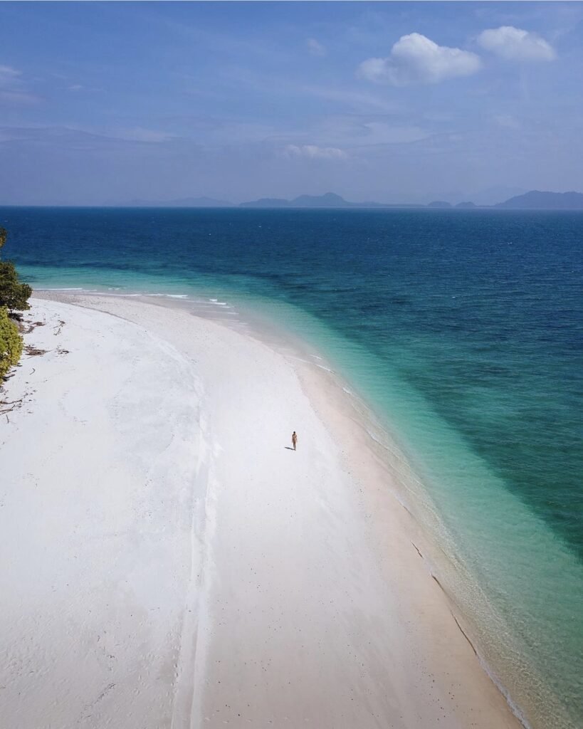
02Koh Kam & the Laem Son Islands
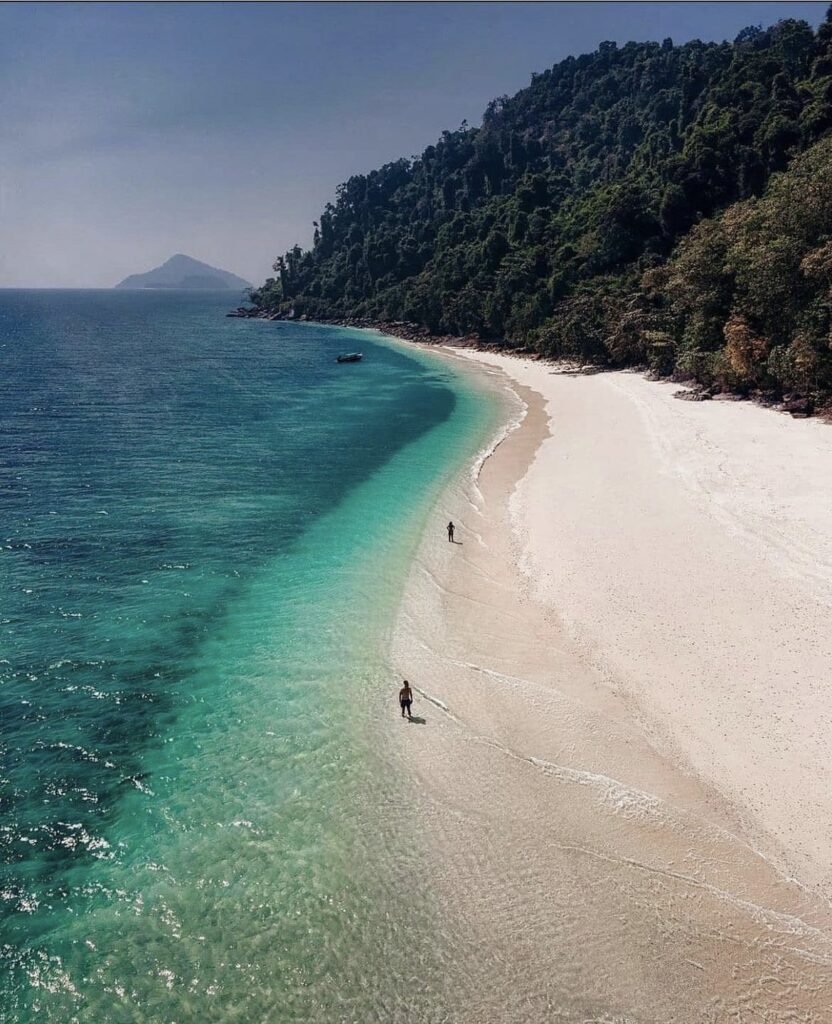
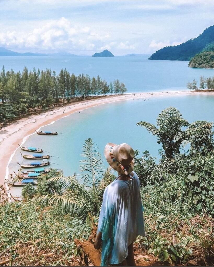
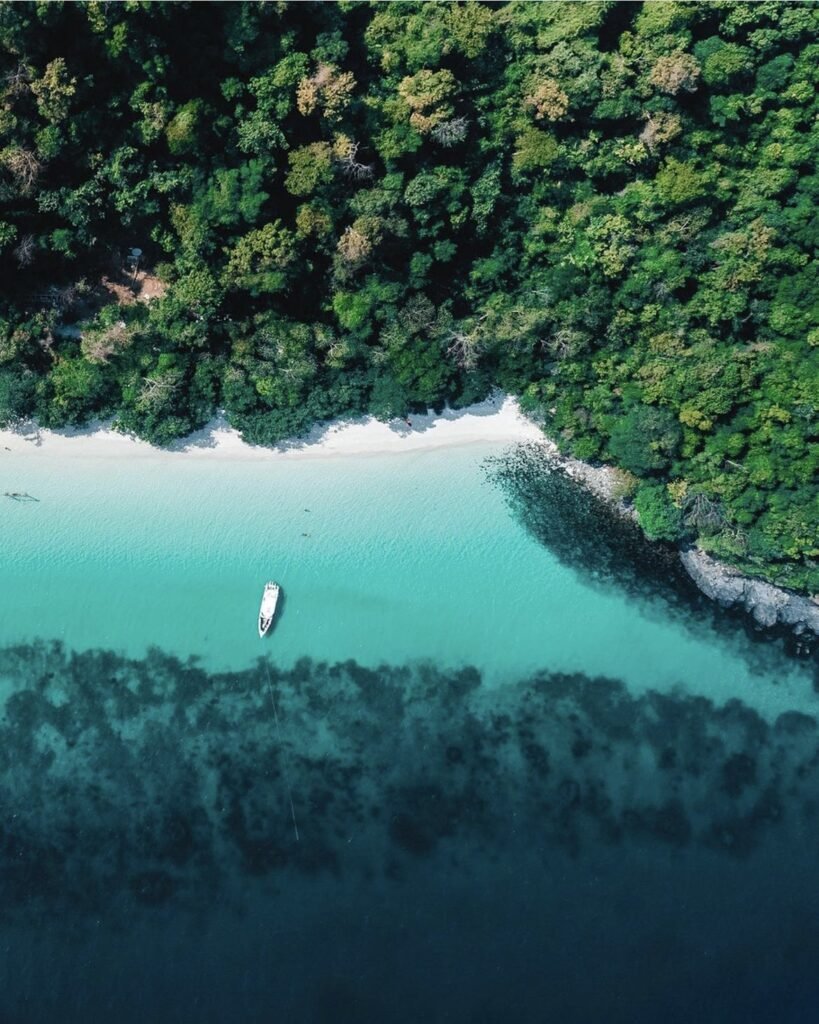
Koh Kam suits anyone who wants a beach with nothing on it: no resorts, a sheltered lagoon for swimming and a channel for snorkelling. Around it, the Laem Son National Park islands have curving beaches backed by pine trees, sandbars that appear at low tide and clear water around the rocks.
Boats leave from Bang Ben beach, and island trips are negotiated privately, so agree the route and price before you set off. There are few facilities and no shops, so take all your food and drink with you.
- Attraction Type
- Islands and beaches
- Location
- Open in Google Maps
- Cost
- 200 THB for foreign adults, 40 THB for Thais (Laem Son National Park), plus the boat
- Opening Hours
- Daily, 08:00 to 16:30
- Best Time To Visit
- November to April
- How To Get There
- Day-trip boat from Bang Ben beach (30 to 45 minutes)
- What to Pack
- Food, water, sun protection and snorkel gear
03Phu Khao Ya (Grass Hill)
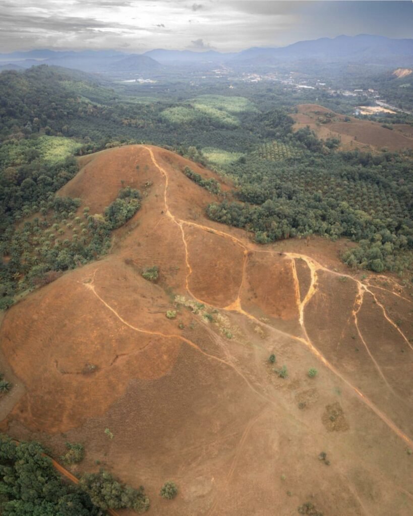
Phu Khao Ya is a range of bare, rounded hills covered only in grass, right beside the highway south of Ranong town. A short trail climbs to the ridge. The colour depends on when you come: bright green in the rainy season, gold in the dry months.
Go late in the day. Sunset is when locals come to picnic and fly kites and the food stalls often set up, and it spares you the worst of the heat, as there is no shade or water on the hill. Bring water, a hat and sunscreen, and use the toilet before you leave town; they are hard to find here.
- Attraction Type
- Viewpoint and hills
- Location
- Open in Google Maps
- Cost
- Free
- Opening Hours
- Daily, 08:00 to 18:00
- Best Time To Visit
- May to October for green grass; November to April for gold
- How To Get There
- About 12 to 14 km south of Ranong town on Highway 4

04Temporarily closedRanong Mangroves
This spot is currently marked temporarily closed, so check its status before you build a day around it.
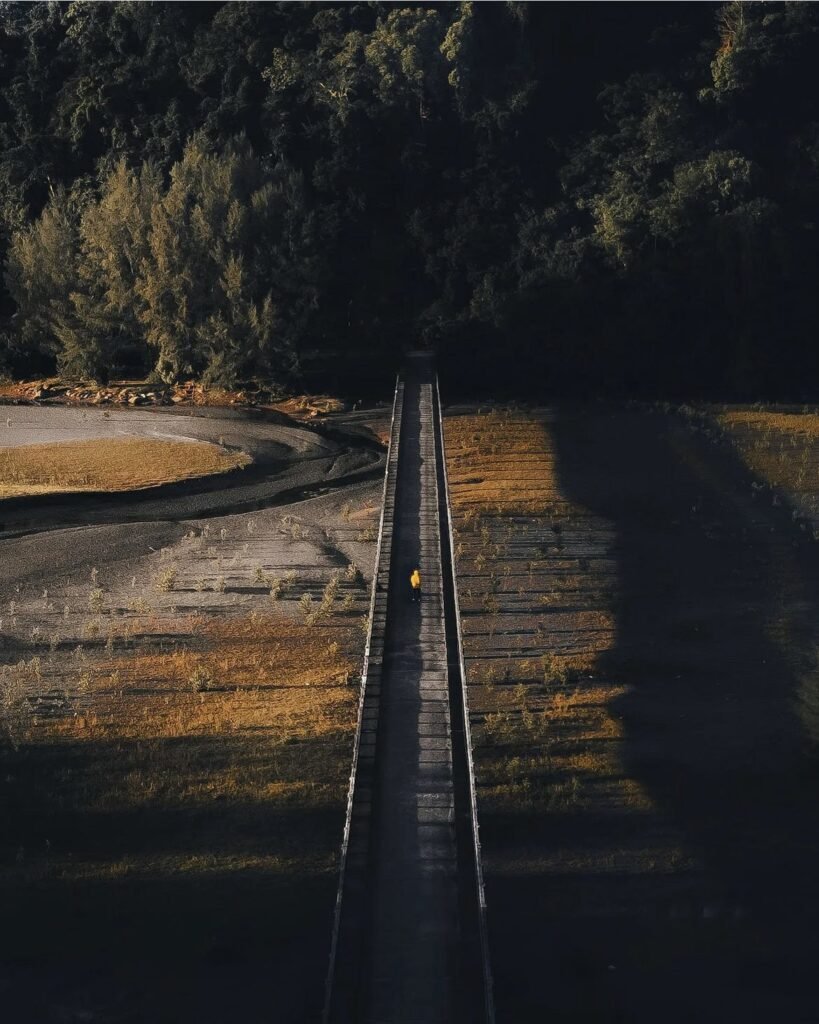
Ranong’s coast is lined with some of the richest mangrove forest in Thailand, part of a UNESCO biosphere reserve. When it is open, a boardwalk of roughly 1 km leads out through the roots and tidal channels, and at low tide the channels drain to mudflats busy with crabs and mudskippers. Monkeys live along the boardwalk, so take one of the sticks offered at the entrance. One riverside section is closed.
- Status
- Temporarily closed on Google Maps (checked October 2026)
- Attraction Type
- Mangrove forest
- Location
- Open in Google Maps
- Cost
- Free
- Best Time To Visit
- Low tide, early morning
- How To Get There
- By car or motorbike south of Ranong town
- What to Pack
- Insect repellent
- Good to Know
- Monkeys live along the roughly 1 km boardwalk, so take one of the sticks offered at the entrance; one riverside section is closed.
05Baan Rai I Arun
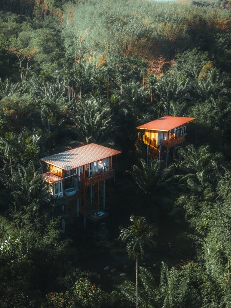
Baan Rai I Arun (บ้านไร่ไออรุณ) is a small farm stay in Kapoe district, south of Ranong town off Highway 4130. Each house is built to a different design and set in greenery beside a clear stream you can swim in, and meals use organic produce grown on the farm, with Southern Thai cooking in the restaurant.
This is a place to stay rather than drop in on. Book ahead by phone (09-6938-2981) or through the Facebook page (Baan Rai Iarun); guests say it can be hard to get through, so try a few times. Some beds are on the small side. Check-in is from 14:00 and check-out by 12:00. Bring swimwear for the stream and repellent for the evenings.
- Attraction Type
- Homestay
- Location
- Open in Google Maps
- Cost
- Room rates not published, ask when booking (check before you go)
- Opening Hours
- Overnight stays only; check-in 14:00, check-out 12:00
- Best Time To Visit
- November to April for drier weather; the stream is fullest in the rainy season
- How To Get There
- Drive south from Ranong town towards Kapoe on Highway 4130; the property is signed off the highway. Own transport needed (check the route with the owners when booking).