Trang is the Andaman coast without the crowds. Its islands, Koh Mook, Koh Kradan and Koh Ngai, have powder-white sand and clear water, and the swim through the Emerald Cave on Koh Mook is one of the most memorable in Thailand. On the mainland, limestone headlands give way to some of the largest mangrove forests in the south.
Trang Airport has direct flights from Bangkok Don Mueang (about 1 hour 30 minutes), and overnight sleeper trains run from Bangkok to Trang. From town, minibuses go to Pak Meng and Kuan Tung Ku piers for the islands.
Come between December and April. From May to October many island resorts close, boats are reduced or cancelled, and some park sites, including Koh Kradan and the Emerald Cave, close for part of the rainy season. Whenever you come, have Trang's roast pork (moo yang) and a dim sum breakfast in town before you leave.
How to split your days. Base yourself on Koh Mook: it has a village, cheap food and the Emerald Cave on its doorstep, and Koh Kradan is a 30-minute longtail away. Time the cave for low tide and the first boat, and save time on Kradan for snorkelling. Back on the mainland, combine the park beaches such as Hat Yong Ling on one park ticket and finish at Pak Meng for sunset, then give a separate day to the mangroves around Ban Nam Rap and the climb up Khao Chom Pa. Koh Libong is a separate trip from Hat Yao pier, and Koh Ngai deserves a night of its own.
How we chose these spots. The guide covers four parts of the province: the islands, the Sikao coast with the piers, the mangrove country of Sikao and Kantang, and Trang town with the hills and forest inland. Several spots belong to Hat Chao Mai National Park, and we've noted where the park fee applies and where sites close in the rainy season.
Good to know
- Tourist Police: 1155
- Emergency (ambulance): 1669
- Hat Chao Mai National Park: 075 829 967
- Hat Chao Mai National Park (visitor guide)
The Islands
The islands are why you come to Trang, and they are a short boat ride from Pak Meng and Kuan Tung Ku piers. Most of them, including Koh Kradan and the Emerald Cave on Koh Mook, belong to Hat Chao Mai National Park. Stay on Koh Mook for village life and easy access to the cave; come between December and April, when the boats run most reliably.







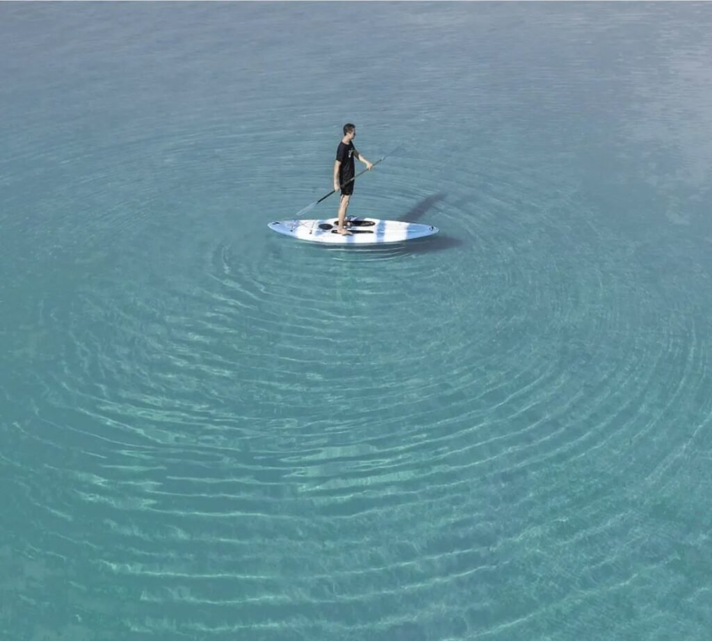
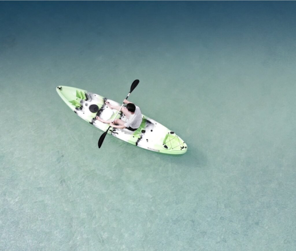

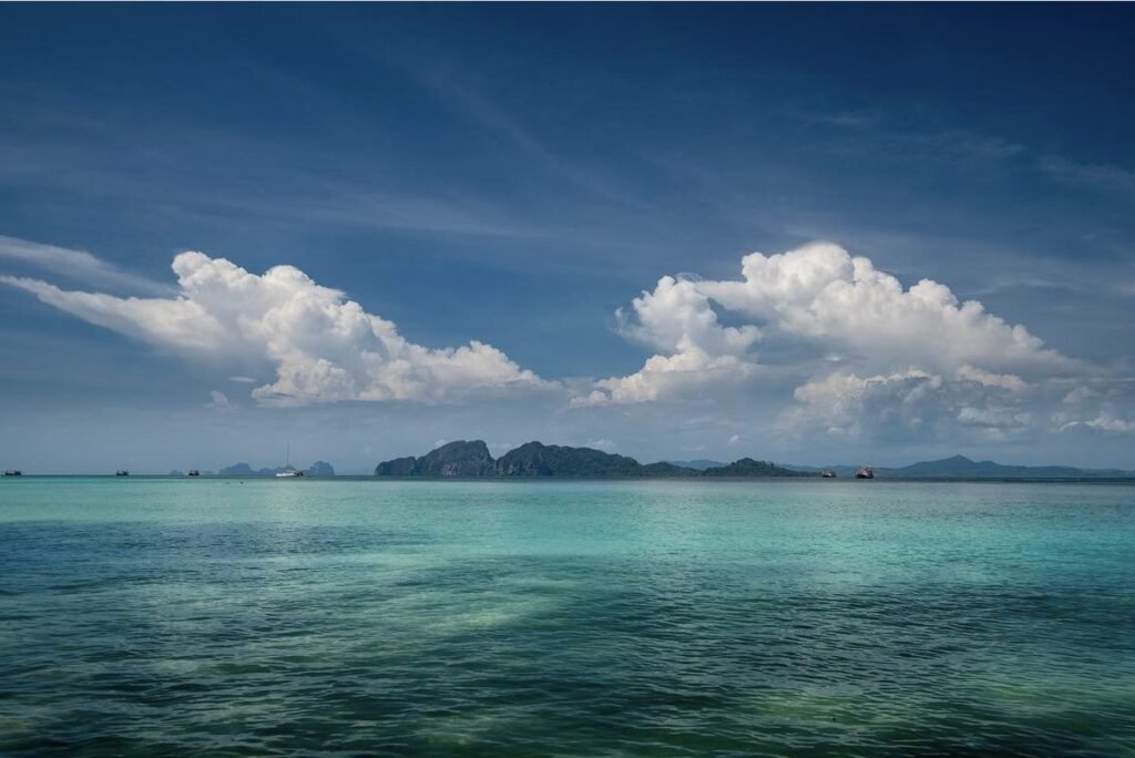
01Koh Kradan
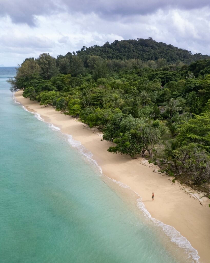
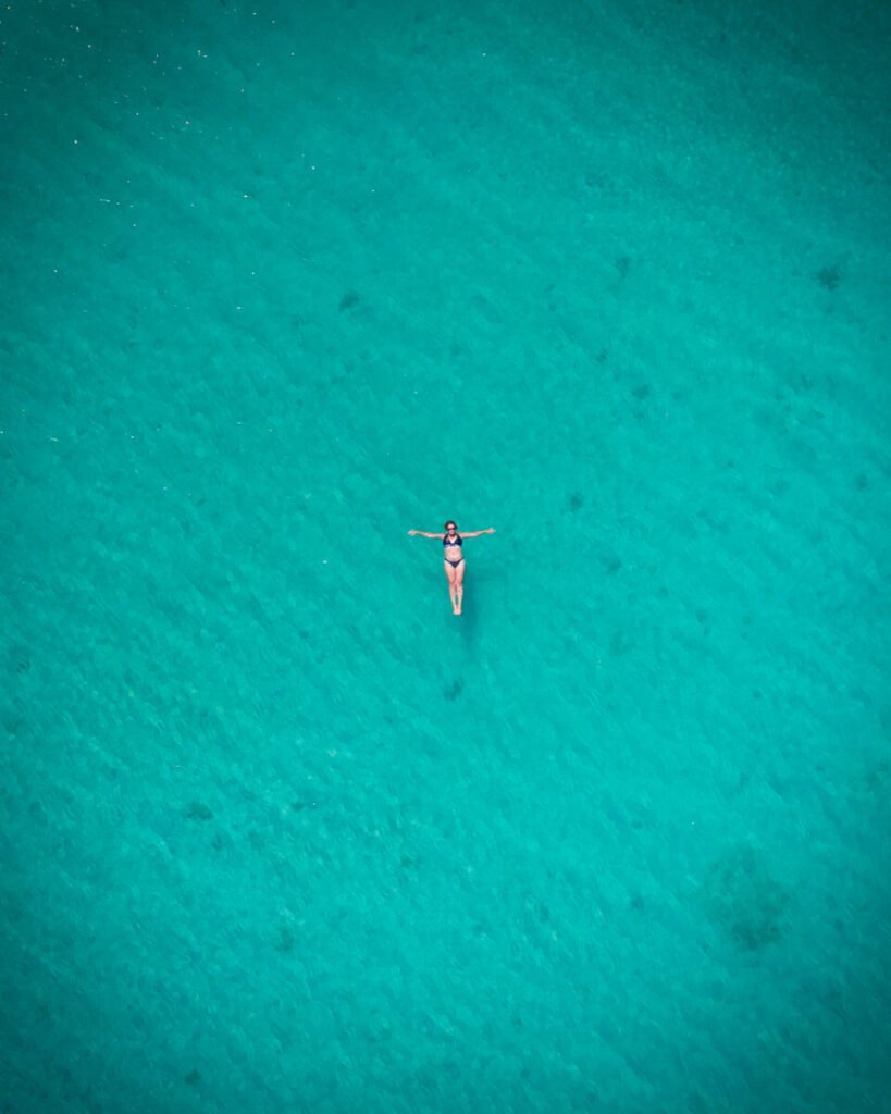
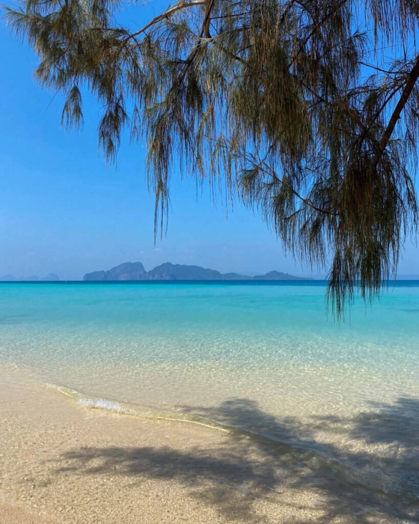
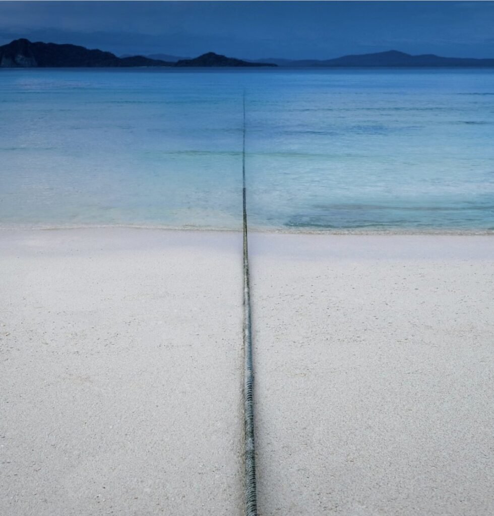
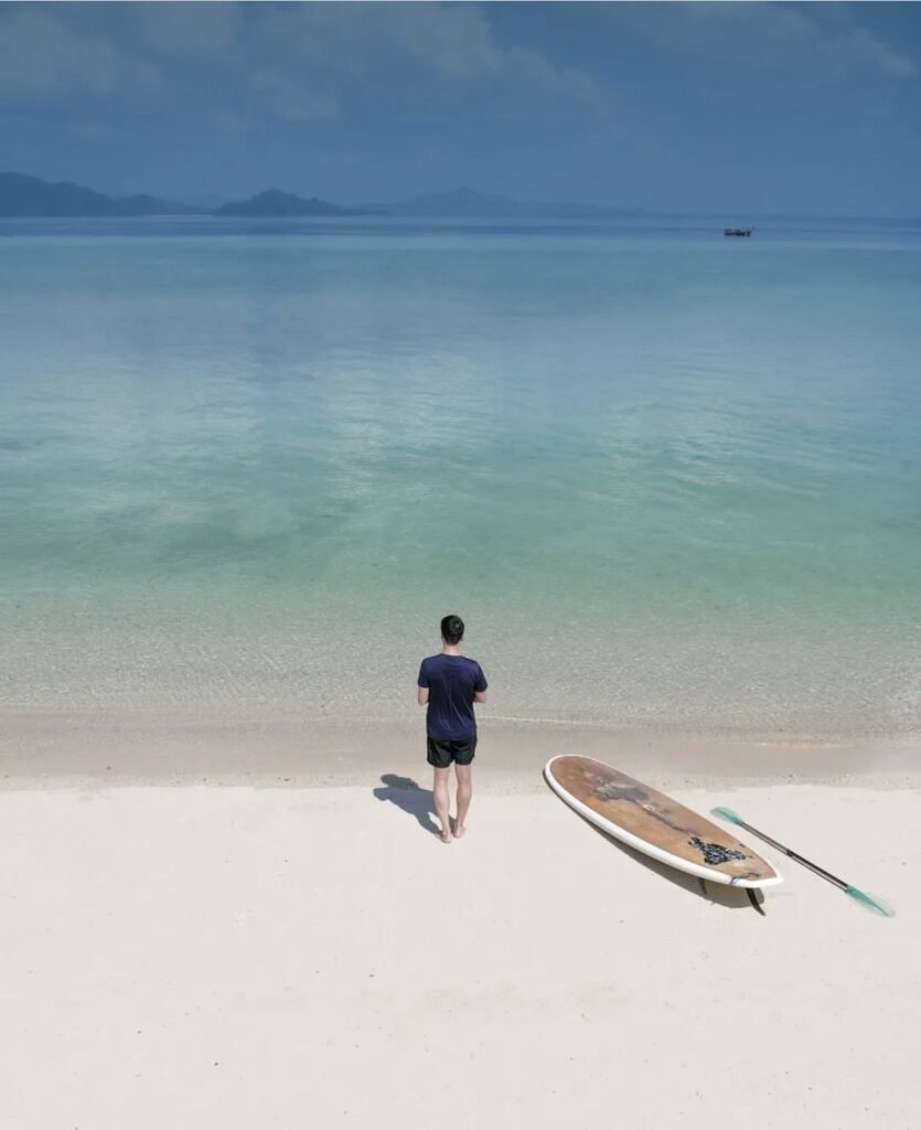
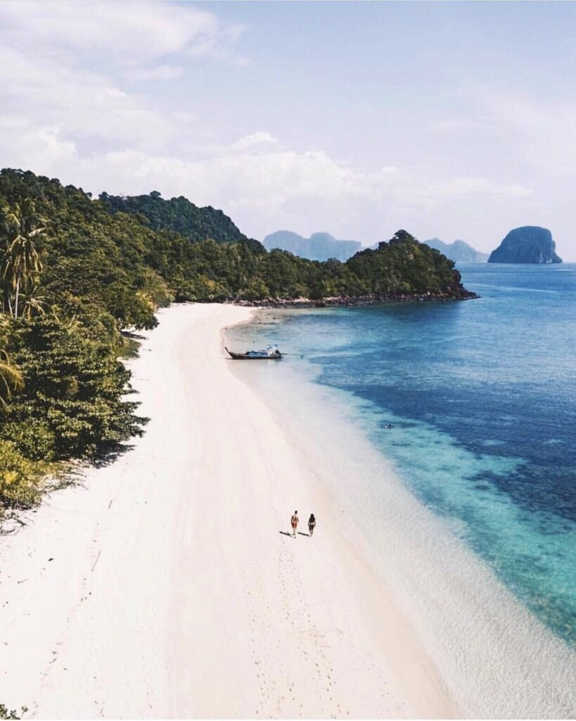
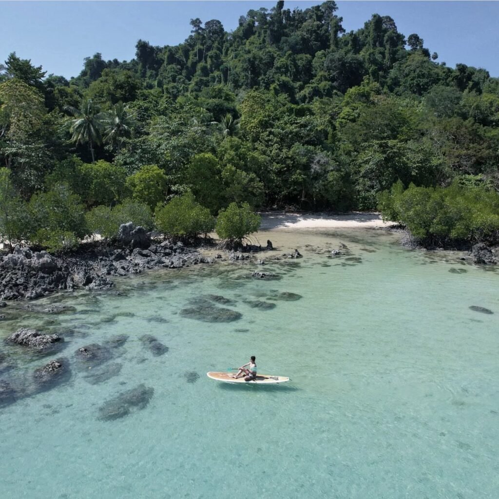
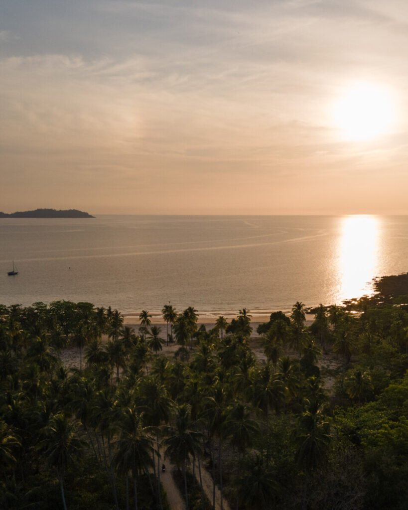
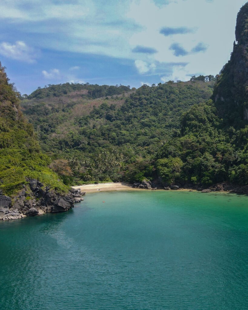
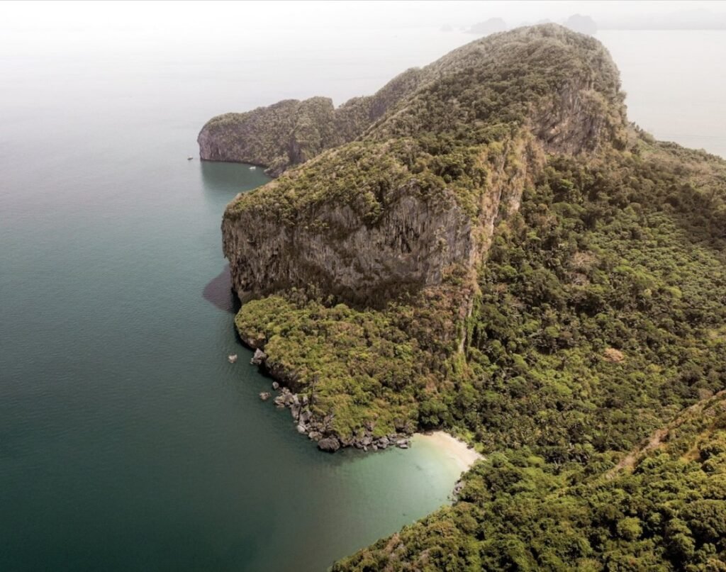
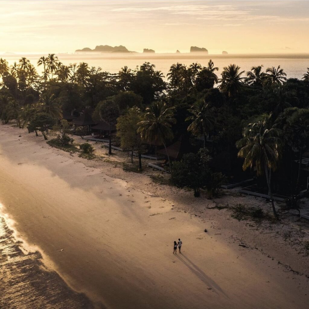
Koh Kradan is a slender island about 3 km long and in places only a few hundred metres wide, with some of the finest white sand and clearest water on Thailand’s Andaman coast, and coral close enough to snorkel straight off the beach.
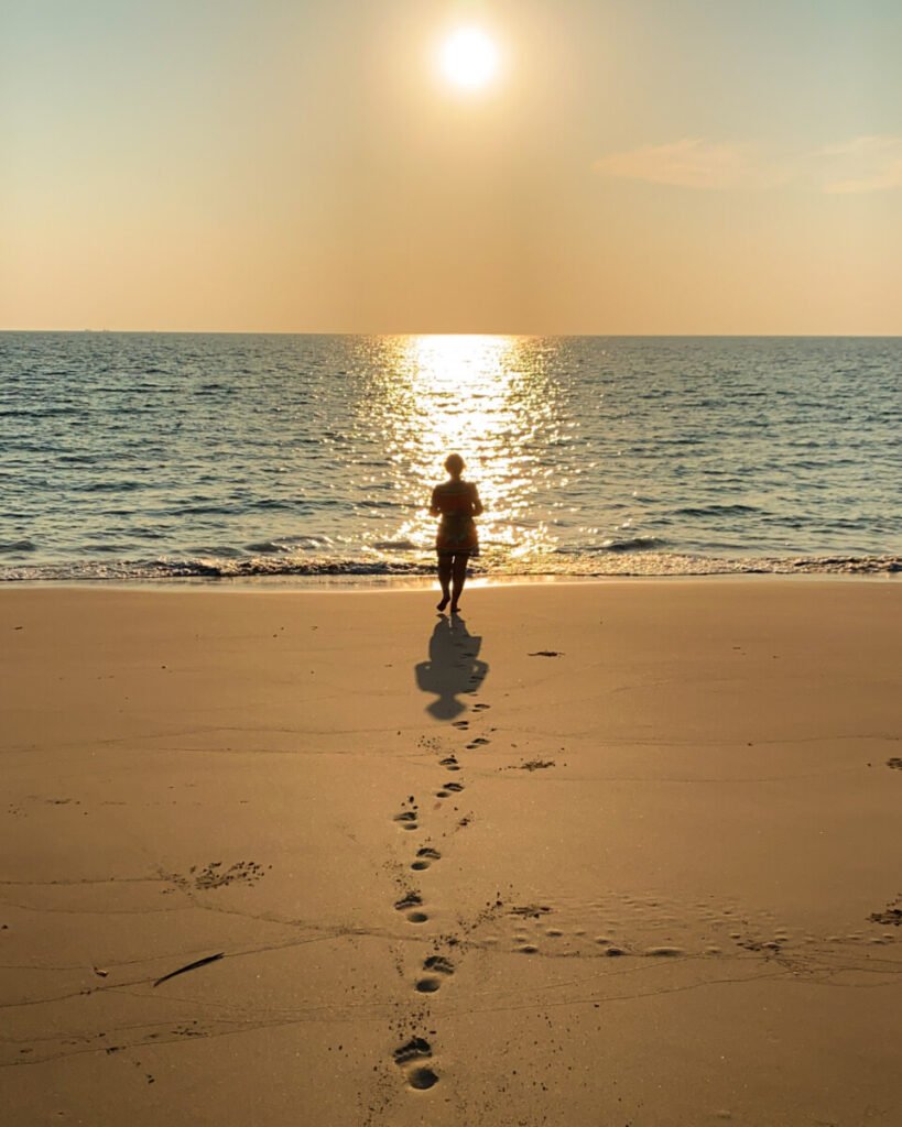
The long eastern beach is the one in the photos, but for snorkelling cross to Sunset Beach on the other side, which has the best reef. Use reef-safe sunscreen. There is no village, so food and drink come from the handful of resorts. Check the dates before you go: the island closes for part of the rainy season, listed as 1 August to 30 September on the park page but 1 June to 30 September in other years.
- Attraction Type
- Island and beach
- Location
- Open in Google Maps
- Cost
- 200 THB for foreigners, 40 THB for Thais (Hat Chao Mai National Park fee)
- Best Time To Visit
- December to April. Closed for part of the rainy season, between June and September (check the year's dates)
- How To Get There
- Boat from Pak Meng pier (about 1 hour), or a 30-minute longtail from Koh Mook
- What to Pack
- Snorkel gear, reef-safe sunscreen and cash


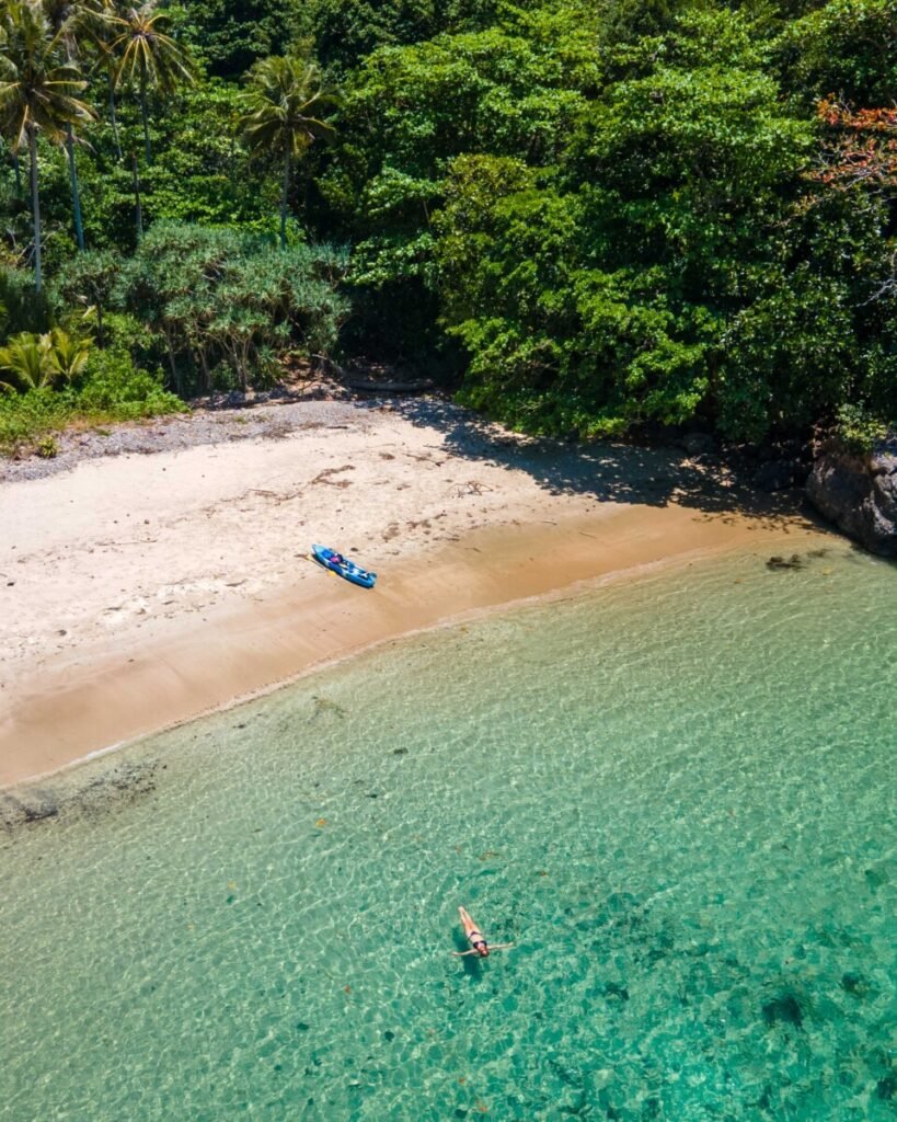







02Koh Mook
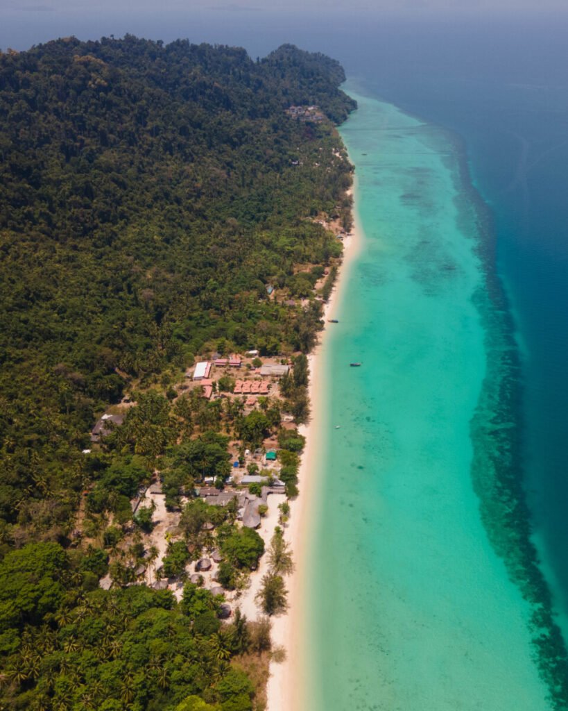
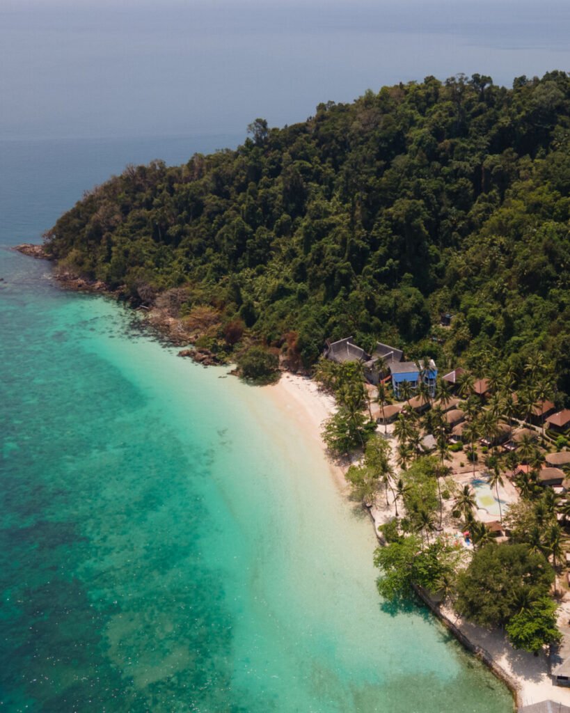
Koh Mook is the best base for the Trang islands. It is a lived-in island with a fishing village, cheap restaurants and a relaxed pace, and the Emerald Cave and Koh Kradan are both close by.
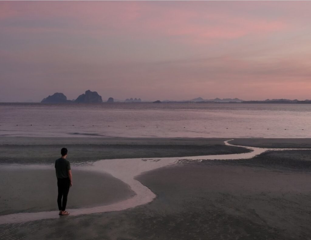
The east side faces sunrise over the karst-studded coast, and at low tide wide tidal flats appear in front of the village. Watch the seagrass off the main pier, where dugongs and sea turtles are sometimes seen feeding. For sunset, cross to Charlie Beach (Haad Farang) on the west side, which looks across to Koh Kradan: about a 30-minute walk over a hill from the village, or a short motorbike-taxi ride.
There is no ATM, so bring all the cash you need.
- Attraction Type
- Island
- Location
- Open in Google Maps
- Cost
- Free to visit
- Best Time To Visit
- December to April; sunrise on the east side, sunset at Charlie Beach
- How To Get There
- Minibus from Trang town to Kuan Tung Ku pier (about 45 minutes), then a 30-minute ferry or longtail
- What to Pack
- Cash (there is no ATM), a torch and sandals
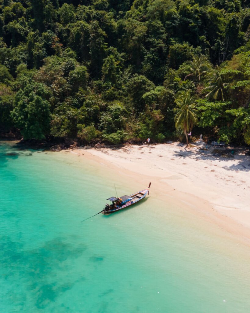


03Koh Ngai (Koh Hai)
Koh Ngai, also called Koh Hai, is a small, hilly island whose resorts sit along one long white-sand beach on the east coast, facing the karst islands off Trang. It is administratively part of Ko Lanta district in Krabi province and lies within Mu Ko Lanta National Park, but almost everyone reaches it from Pak Meng pier in Trang, about an hour away by boat. A shallow reef runs just off the east beach, so you can snorkel straight from the sand on calm days, with the best coral off the central and southern resorts.
Visit from November to April, when the sea is calm and the daily ferry runs; from May to October boats are fewer and swell can cancel crossings. Stay a night or two and bring cash, as there are few ATMs. Snorkel at mid to high tide, do not stand on coral or feed fish, and wear reef-safe sun protection.
- Attraction Type
- Island and beach
- Location
- Open in Google Maps
- Cost
- Ferry from Pak Meng about 350 baht per person; private longtail about 1,500 baht per boat (check before you go)
- Opening Hours
- Open all year; public ferry in high season only (1 November to 1 May), departing Pak Meng about 12pm (check before you go)
- Best Time To Visit
- November to April
- How To Get There
- Minibus from Trang town to Pak Meng pier (Sikao, Trang), then ferry or longtail about 45 to 60 minutes; resorts also arrange transfers. Seasonal boats link Koh Lanta, Koh Mook and Koh Kradan


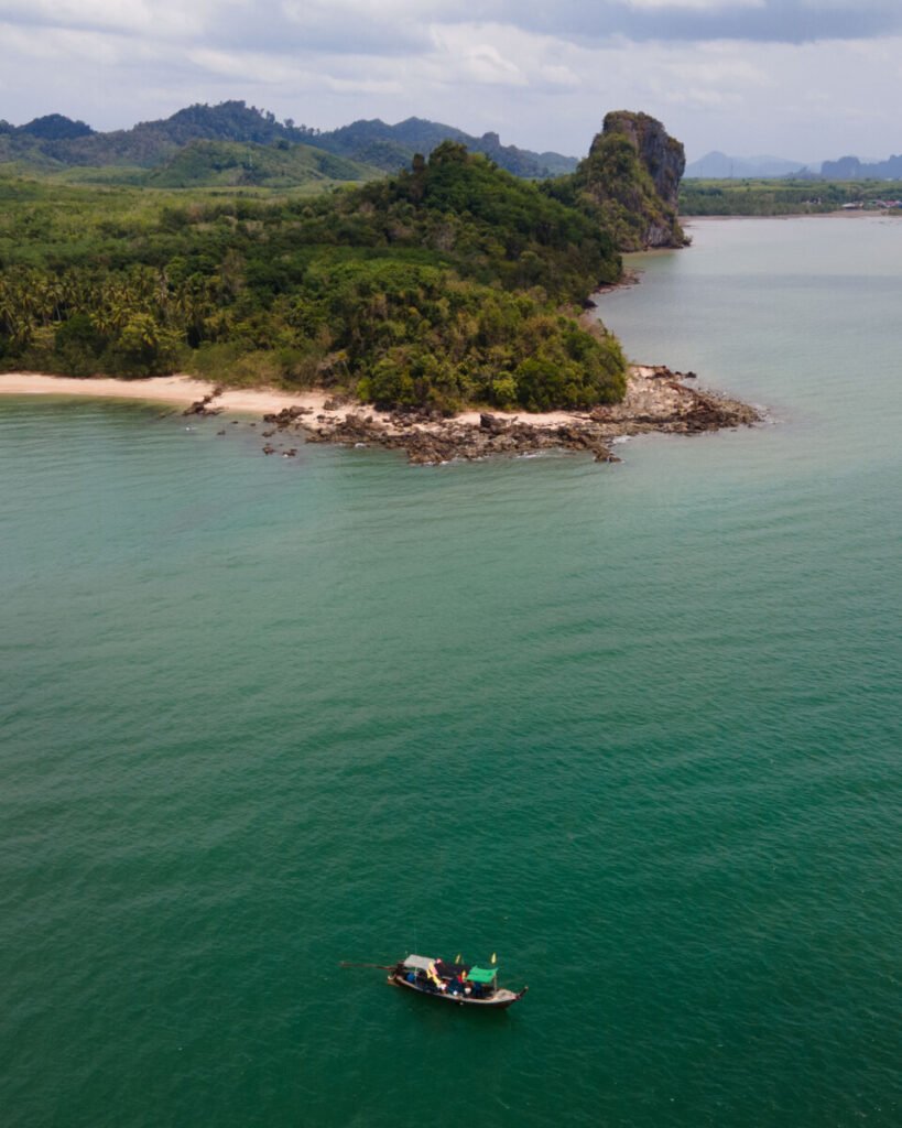


04Koh Libong
Koh Libong is Trang’s largest island and the heart of Thailand’s dugong habitat, its seagrass meadows protected within Hat Chao Mai National Park. In Ban Batu Bute, a 350 m concrete pier leads to a five-storey tower for scanning the seagrass at low tide. On the north-west coast, Saphan Hin is a natural rock arch you can walk through at low water, and the rocky southern headland gives views back over the dugong grounds. Seagrass loss has hit the herd hard: aerial surveys in early 2026 counted 33 dugongs, down from about 194 in 2023.
Watch from the tower or with a community boat that stops outside the buoyed zone and turns off its engine. Never chase, touch or swim towards dugongs, and ask locally before flying a drone. Libong is a Muslim island: cover shoulders and knees away from the beach, and do not bring alcohol into villages. Stay a night to catch an early low tide at the tower.
- Attraction Type
- Island, wildlife watching and coastal rock arch
- Location
- Open in Google Maps
- Cost
- Ferry from Hat Yao about 50 baht per person; private longtail from about 700 baht; tower free (check before you go)
- Opening Hours
- Island open all year; ferries roughly every two hours until 4pm (check before you go)
- Best Time To Visit
- November to April; early morning low tide for dugong watching
- How To Get There
- Minibus from Trang town to Hat Yao pier (Kantang, about 45 minutes), then ferry or longtail about 30 to 45 minutes to Ban Phrao pier on Libong; motorbike sidecar taxis run on the island


05Sivalai Beach
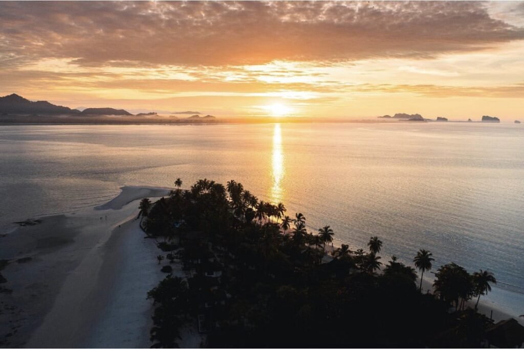
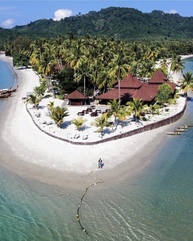
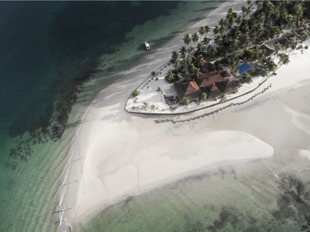
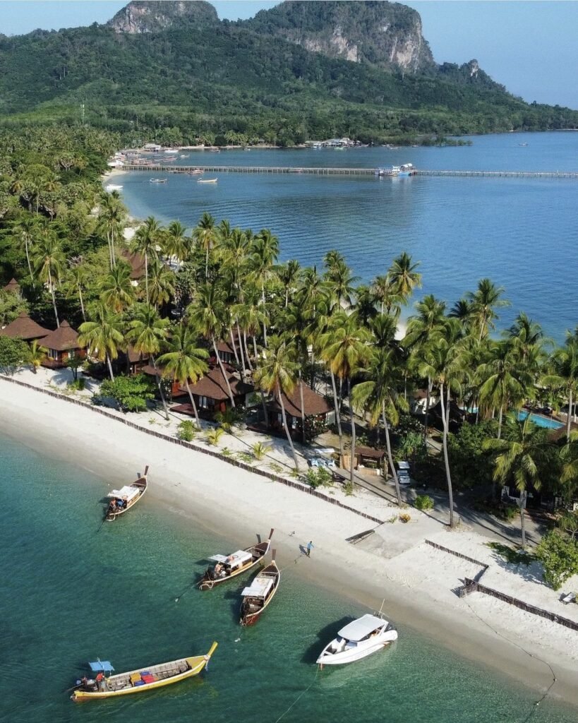
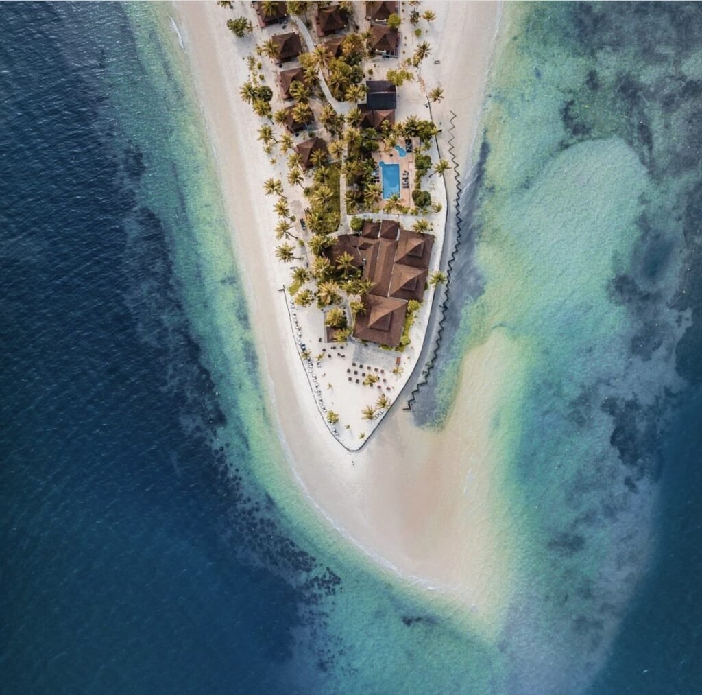
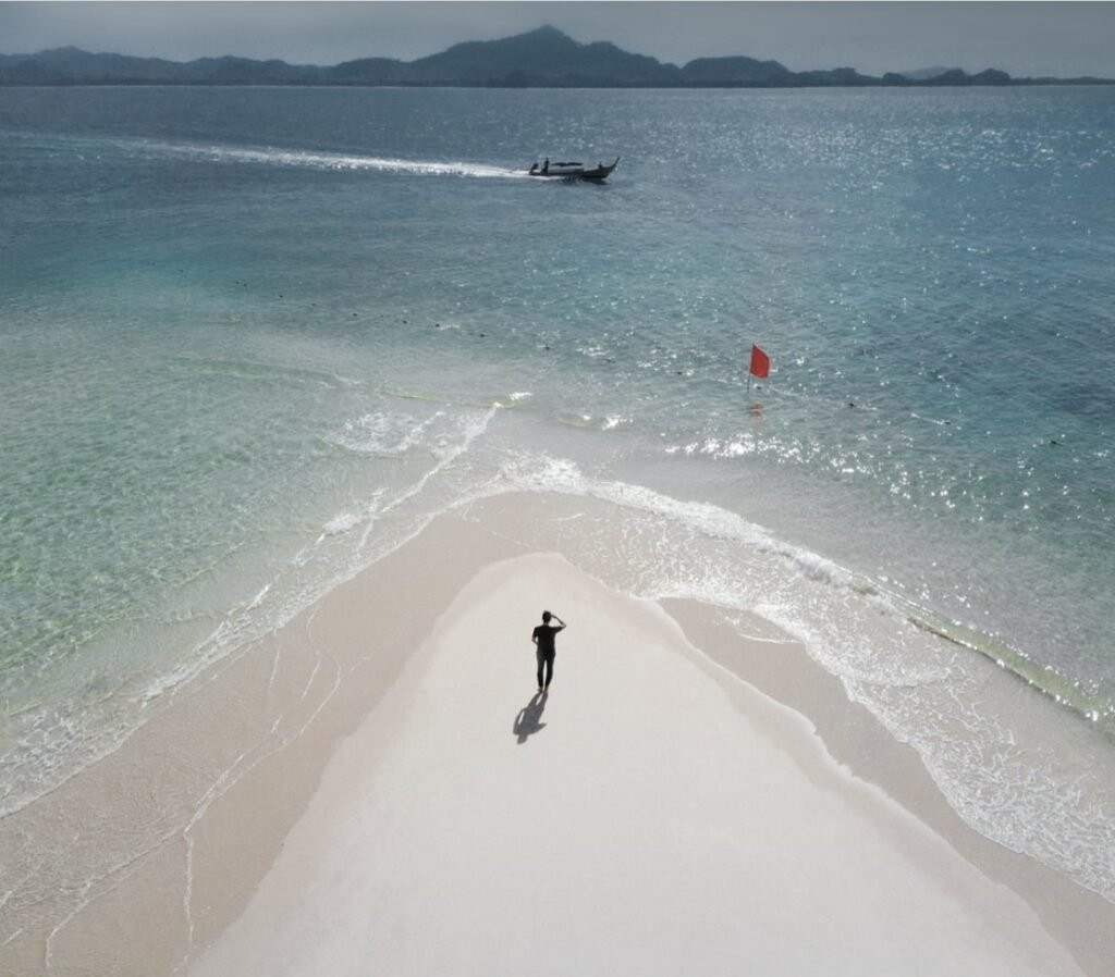
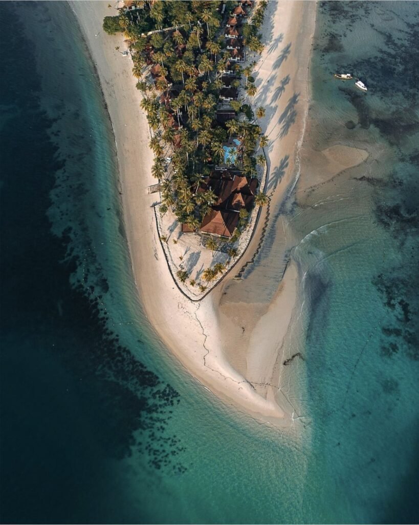
Go at sunrise and at low tide. Then the sandbar at Koh Mook’s eastern tip stretches furthest, a narrow spit of white sand with water on three sides, facing the sun coming up over the Trang coast. Sivalai Beach Resort sits on the spit, a few minutes’ walk from the village and pier. Water shoes help for wading across the flats.
- Attraction Type
- Beach and sandbar
- Location
- Open in Google Maps
- Cost
- Free
- Best Time To Visit
- Sunrise at low tide
- How To Get There
- A short walk from Koh Mook pier and village
- What to Pack
- Water shoes for wading across the flats


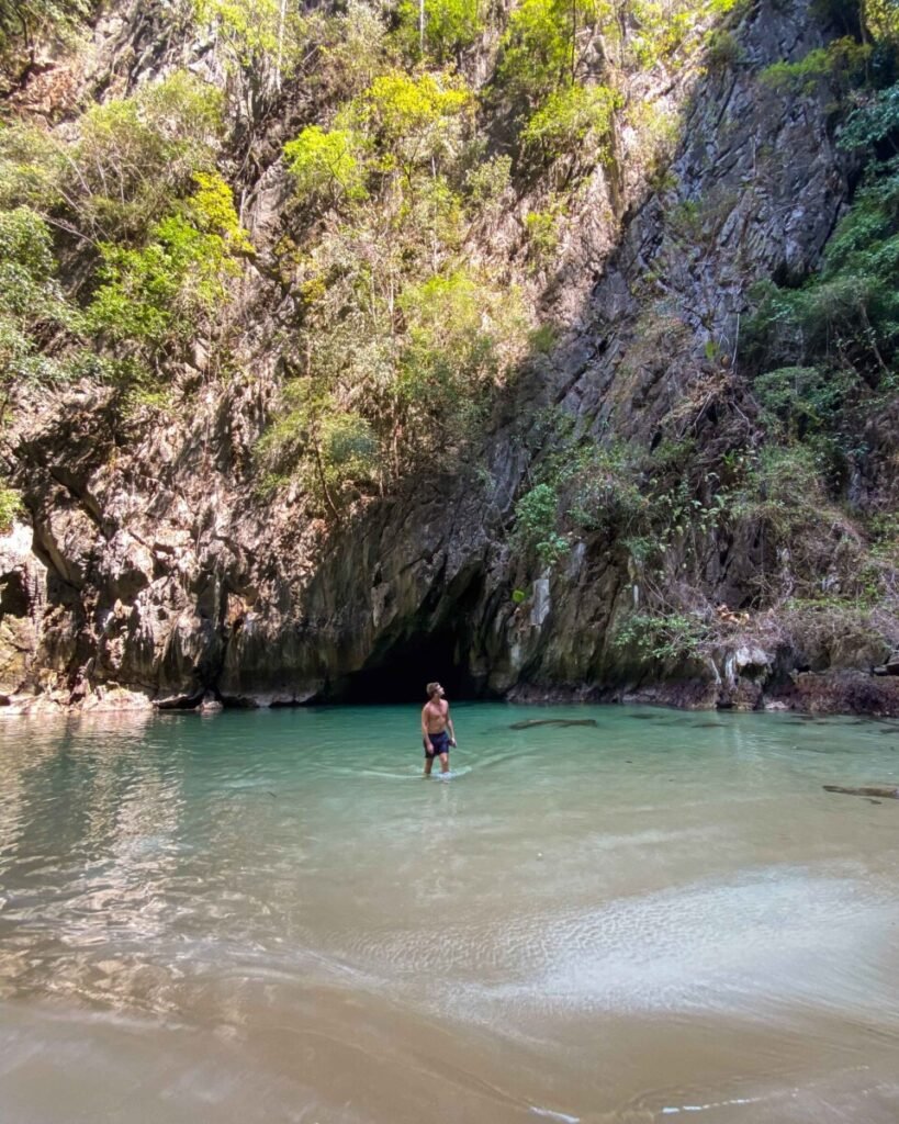


06Emerald Cave (Tham Morakot)
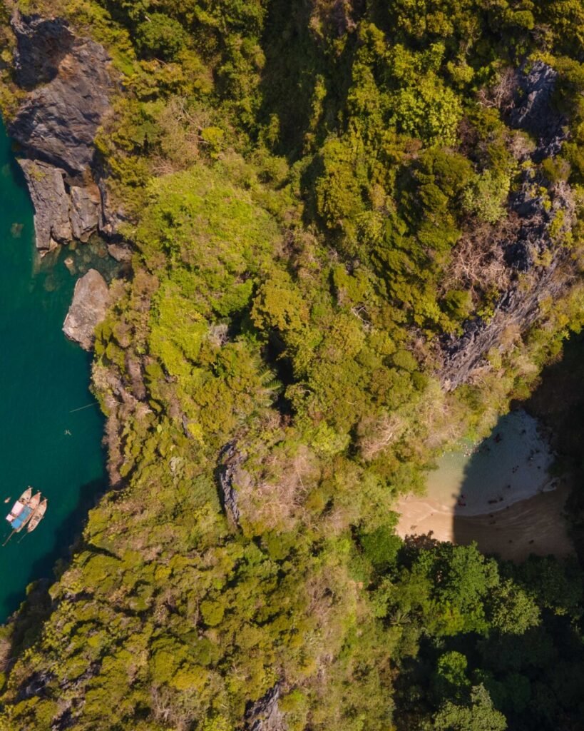
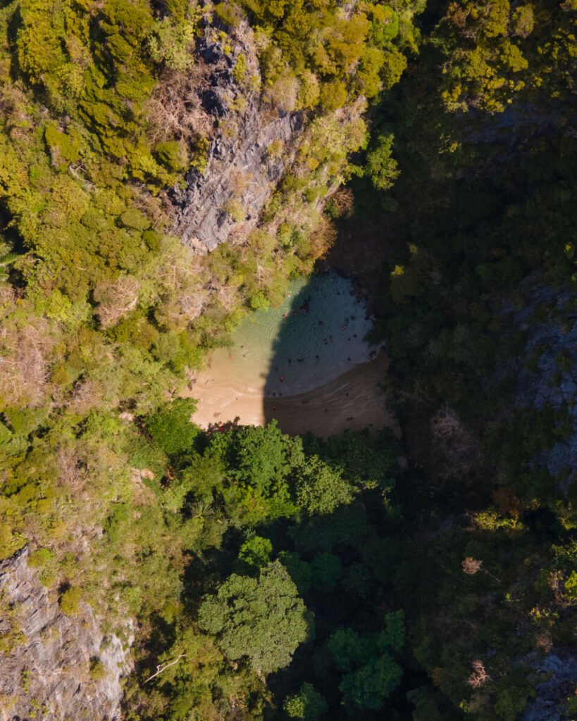
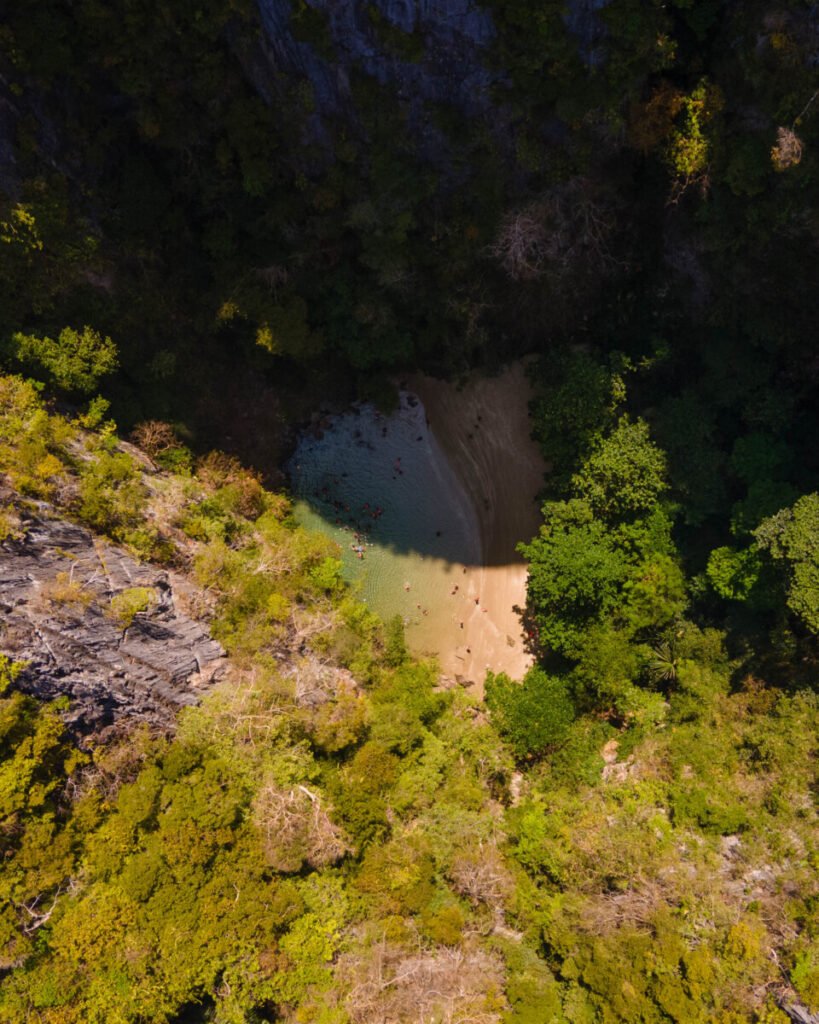
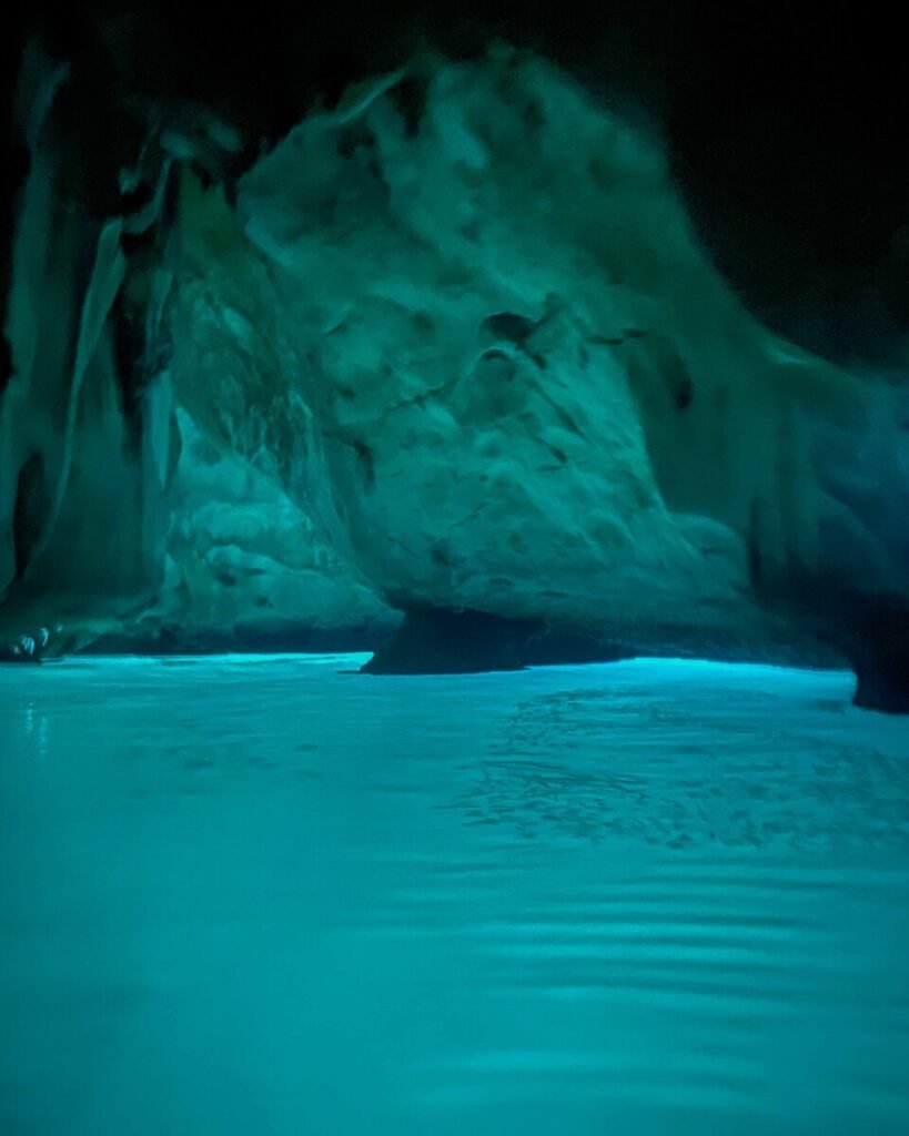
Trang’s most famous sight is worth it, as long as you dodge the crowds. You swim or float through an 80-metre tunnel in a sea cave on Koh Mook’s west coast; it goes completely dark in the middle, then opens onto a hidden white-sand beach ringed by limestone cliffs.
The entrance floods at high tide, so trips run around low tide with a guide and life jackets. Take the first boat of the morning or go late in the afternoon, when it is quieter. A waterproof torch makes the dark stretch much easier.
The cave closes for September; the dates change, so check them each year.
- Attraction Type
- Sea cave and lagoon
- Location
- Open in Google Maps
- Cost
- 200 THB for foreigners, 40 THB for Thais (Hat Chao Mai National Park fee), plus boat hire (around 600 THB per boat from Koh Mook)
- Best Time To Visit
- Low to mid tide, before 9am or late afternoon. Closed for part of the rainy season, at least September (check each year)
- How To Get There
- Longtail from Koh Mook, or a 30 to 40-minute boat from Kuan Tung Ku or Pak Meng
- What to Pack
- Swimwear, a waterproof torch and water shoes
The Coast
The mainland coast of Sikao district has long sandy beaches, limestone headlands and the piers for the islands. Hat Chao Mai National Park’s head office is here, and one park ticket covers several park sites on the same day, so plan to see the park beaches together rather than paying twice.


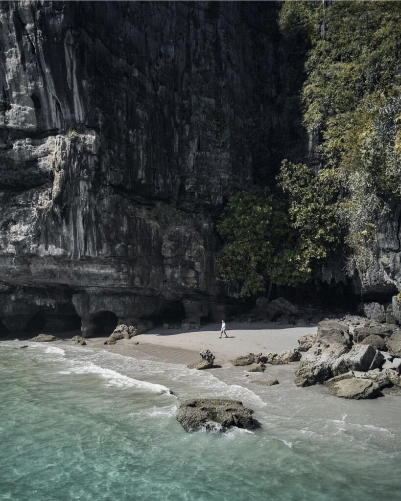

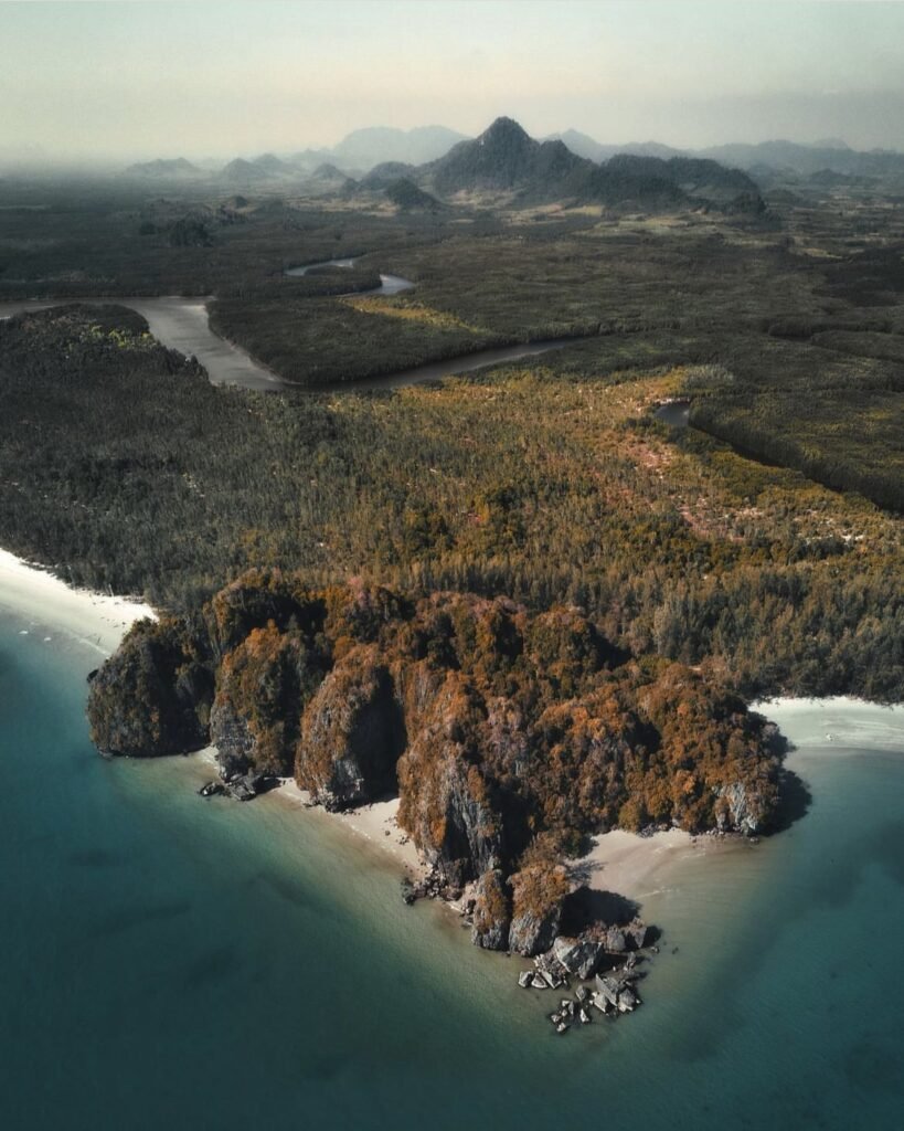
07Hat Yong Ling and Hat San
A sheltered, curving beach backed by sea pines and limestone cliffs, with calm water and rocky coves. At the northern end, Tham Yong Ling is a short tunnel through the rock that frames the sea, reached by a short forest walk. Bring a torch for it.
Come at low tide, when you can walk along the sand to neighbouring Hat San and on towards Hat Yao. Monkeys snatch food and belongings here, so keep bags closed. The park ticket also covers other Hat Chao Mai sites the same day.
- Attraction Type
- Beach and rock arch
- Location
- Open in Google Maps
- Cost
- 200 THB for foreigners, 40 THB for Thais (Hat Chao Mai National Park fee)
- Best Time To Visit
- Low tide
- Number
- 075 829 967
- How To Get There
- About 6 km from the Hat Chao Mai National Park head office in Sikao, roughly an hour by car from Trang town
- Opening Hours
- Daily, 08:00 to 17:00
- What to Pack
- Swimwear, sandals for the rocks and a torch
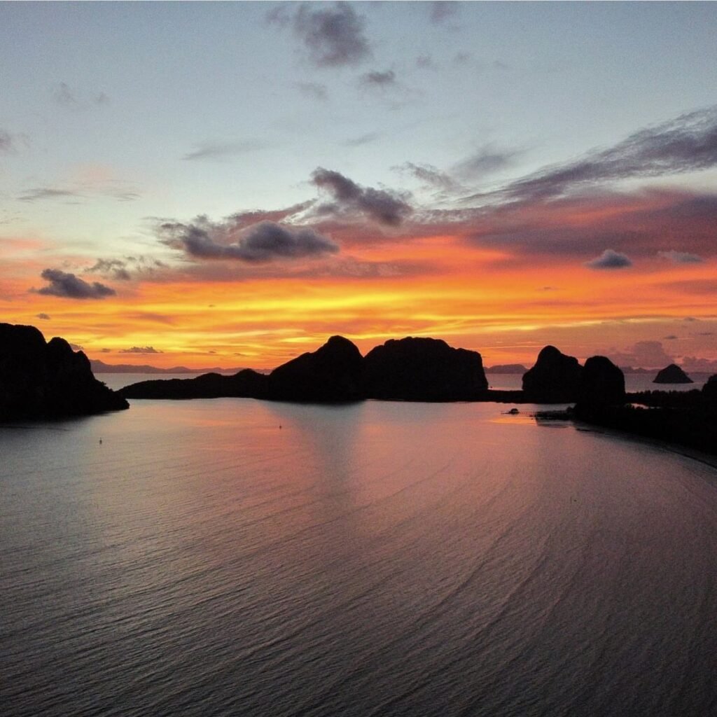
08Pak Meng Beach
Most people see Pak Meng from the pier, on the way to Koh Ngai, Koh Kradan, Koh Mook or the Emerald Cave. Come back for the evening instead: limestone islands sit just offshore, and it is one of the best places on the coast to watch the sun go down, with simple restaurants along the long, curving beach. It is about 38 km from Trang town.
- Attraction Type
- Beach and pier
- Location
- Open in Google Maps
- Cost
- Free
- Best Time To Visit
- Sunset
- How To Get There
- About 45 minutes by car or minibus from Trang town
- What to Pack
- Insect repellent for the evening


09Rajamangala Beach
Rajamangala Beach (Hat Ratchamongkhon) runs along the shore of the Rajamangala University of Technology Srivijaya Trang campus in Mai Fat subdistrict, a few kilometres north of Pak Meng. It is a quiet, casuarina-lined stretch used by the university for coastal study, with fishing boats anchored offshore and monkeys often in the trees. At low tide the water pulls back to show the flats and gives a clear line of sight to the limestone islands offshore. A small blue lighthouse stands on the shore.
Come in late afternoon for low sun on the islands, and check a tide table if you want the exposed flats. There is little shade beyond the trees, no lifeguards and no beach restaurants, so bring water. Keep food out of sight and do not feed the monkeys. This is a university campus, so dress sensibly, keep noise down and follow any signs at the gate. The Rajamangala Aquarium on the same campus makes an easy add-on.
- Attraction Type
- Beach
- Location
- Open in Google Maps
- Cost
- Beach free; Rajamangala Aquarium 100 baht foreigners, 60 baht Thais (children 50 / 30 baht) (check before you go)
- Opening Hours
- Beach roughly 6am to 6pm (check before you go); aquarium 9am to 4.30pm daily (check before you go)
- Best Time To Visit
- Late afternoon at low tide, November to April
- How To Get There
- About 40 minutes by car from Trang town via Highways 4046 and 4162 towards Sikao and Pak Meng, then follow signs into the campus at Mai Fat. No direct public bus

10Wat Mai Fat
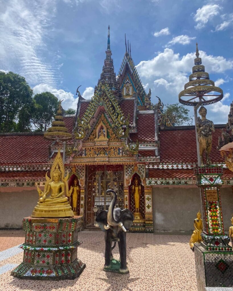
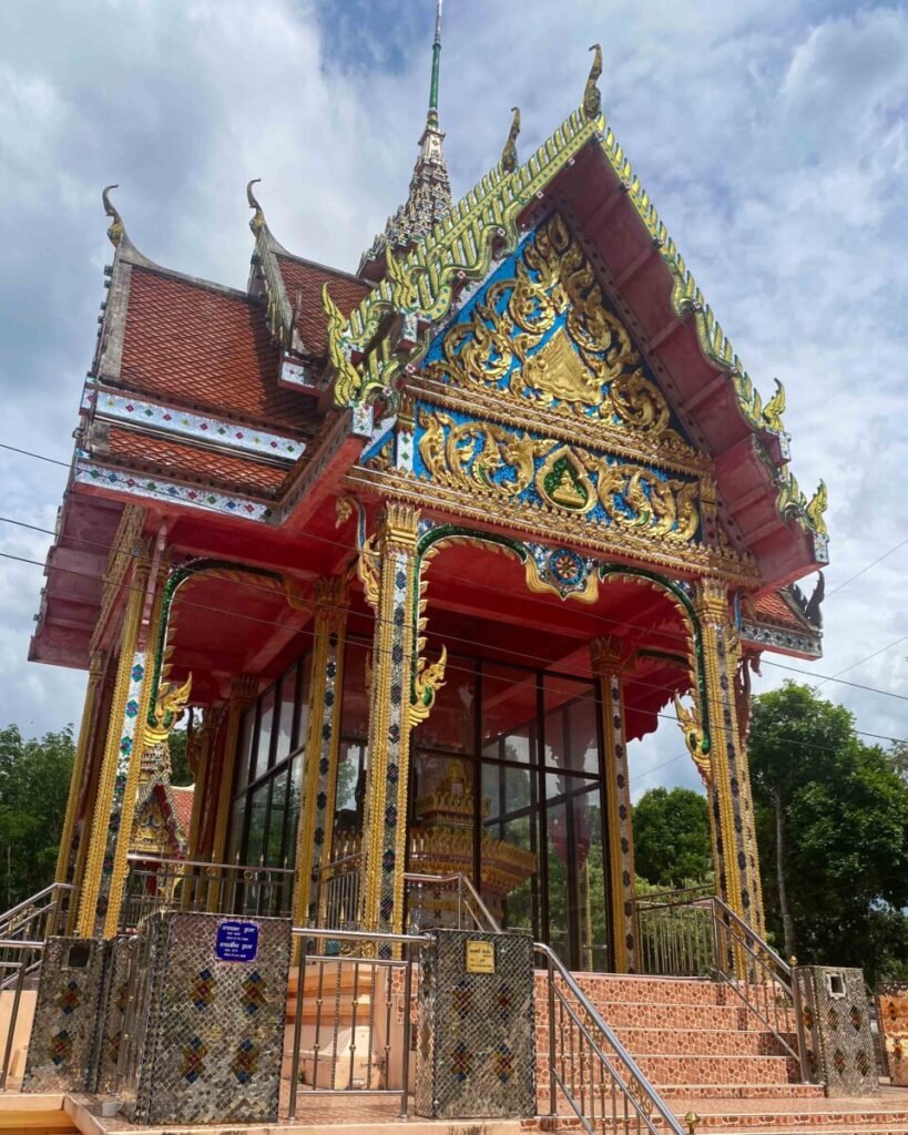
Wat Mai Fat is the village temple of Ban Mai Fat in Sikao district, beside Highway 4162 about 7 km before Pak Meng beach. Its halls have tiered red roofs and gilded, carved gables, a red pavilion decorated with gold and coloured-glass mosaic stands in the grounds, and golden Buddha images line the courtyard. It is a working temple with resident monks rather than a tourist site, and makes a short, quiet stop on the drive to the coast.
Visit in the morning or late afternoon when the light is softer and the grounds are cooler. Twenty to thirty minutes is enough. Dress modestly, with shoulders and knees covered, take off your shoes before entering any building, and ask before photographing monks. Keep drones grounded unless you have asked permission at the temple office. A small donation box is the usual way to say thank you.
- Attraction Type
- Buddhist temple
- Location
- Open in Google Maps
- Cost
- Free; donations welcome
- Opening Hours
- Daylight hours (check before you go)
- Best Time To Visit
- Morning or late afternoon, on the way to or from Pak Meng
- How To Get There
- Drive or take a Pak Meng minibus from Trang town along Highway 4162; the temple is on the roadside in Mai Fat subdistrict, about 7 km before Pak Meng (check before you go)
11Keb Tawan Beach
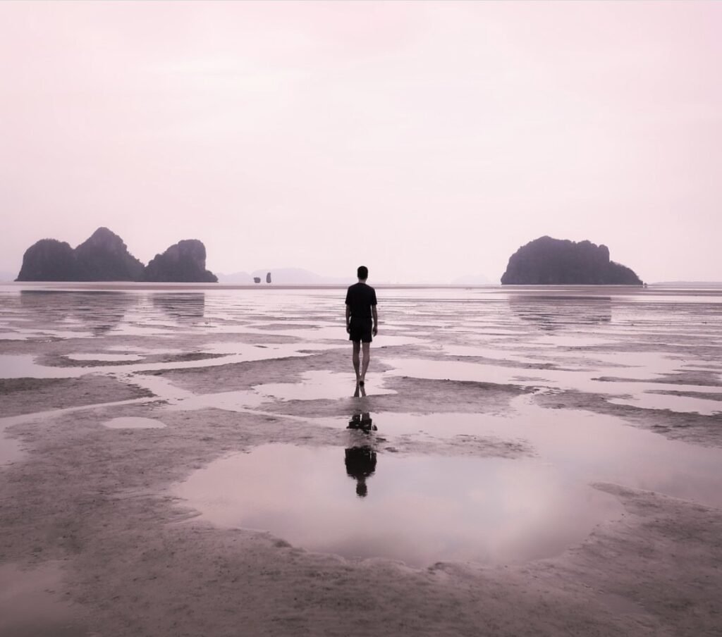
Come at low tide around sunset, when the receding water at this quiet beach in Bo Hin, north of Pak Meng, leaves a wide, wet flat that mirrors the sky and the limestone islands offshore. Wear sandals you don’t mind getting muddy.
- Attraction Type
- Beach
- Location
- Open in Google Maps
- Cost
- Free
- Best Time To Visit
- Low tide around sunset
- How To Get There
- A short drive north along the coast from Pak Meng
- What to Pack
- Sandals you do not mind getting muddy
Mangrove Country
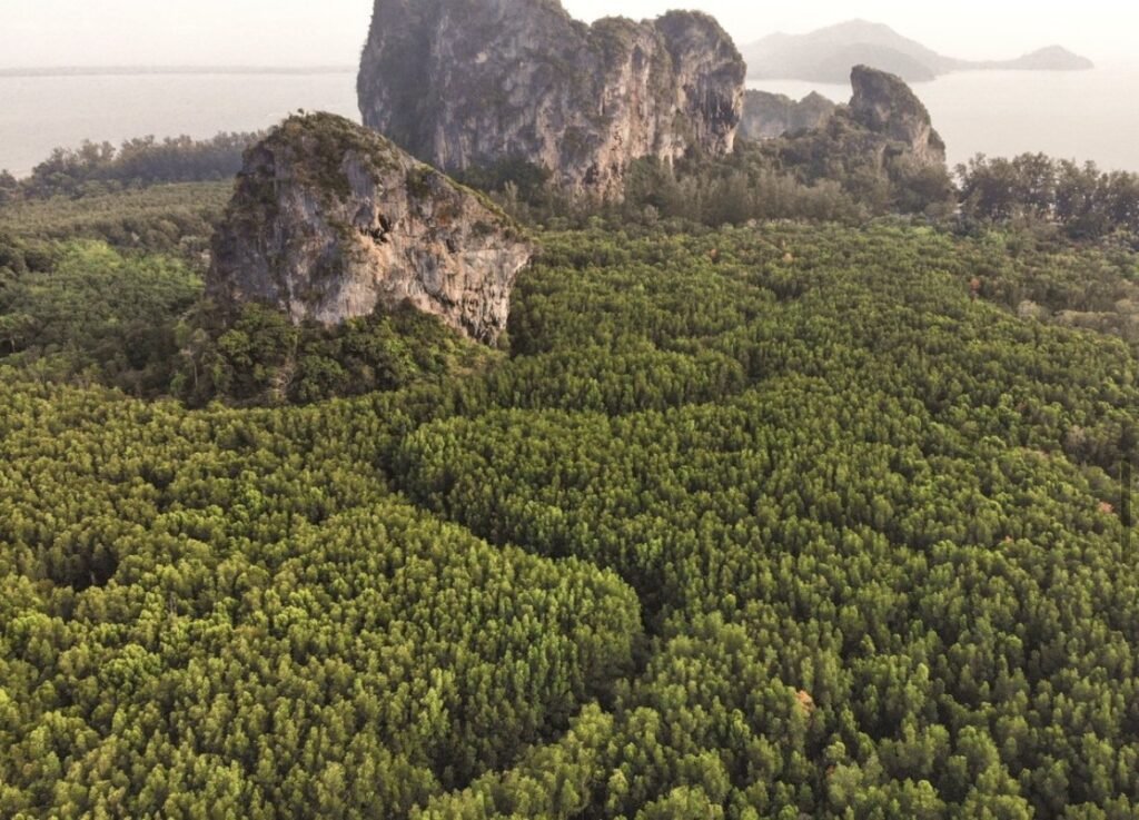
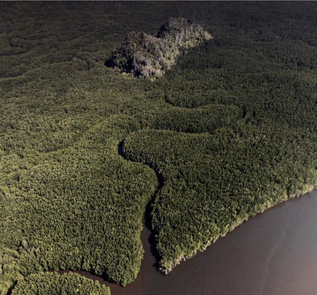
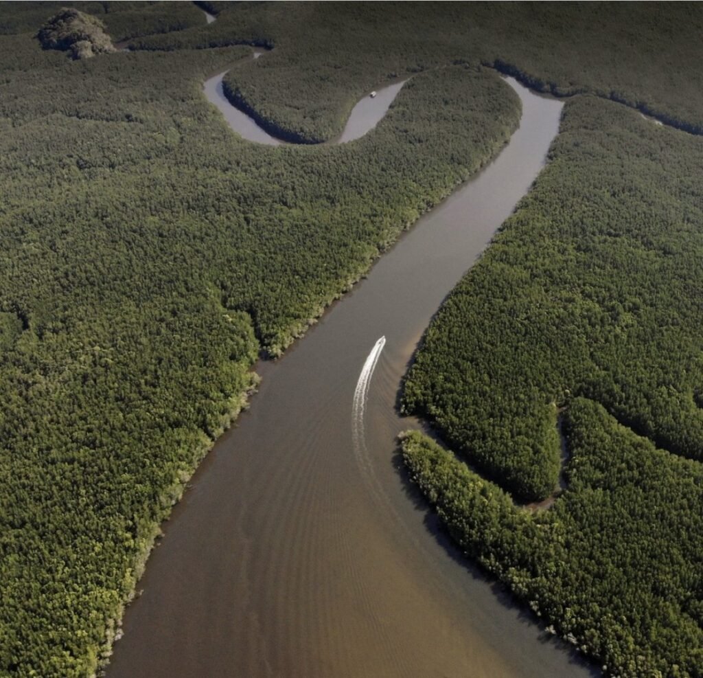
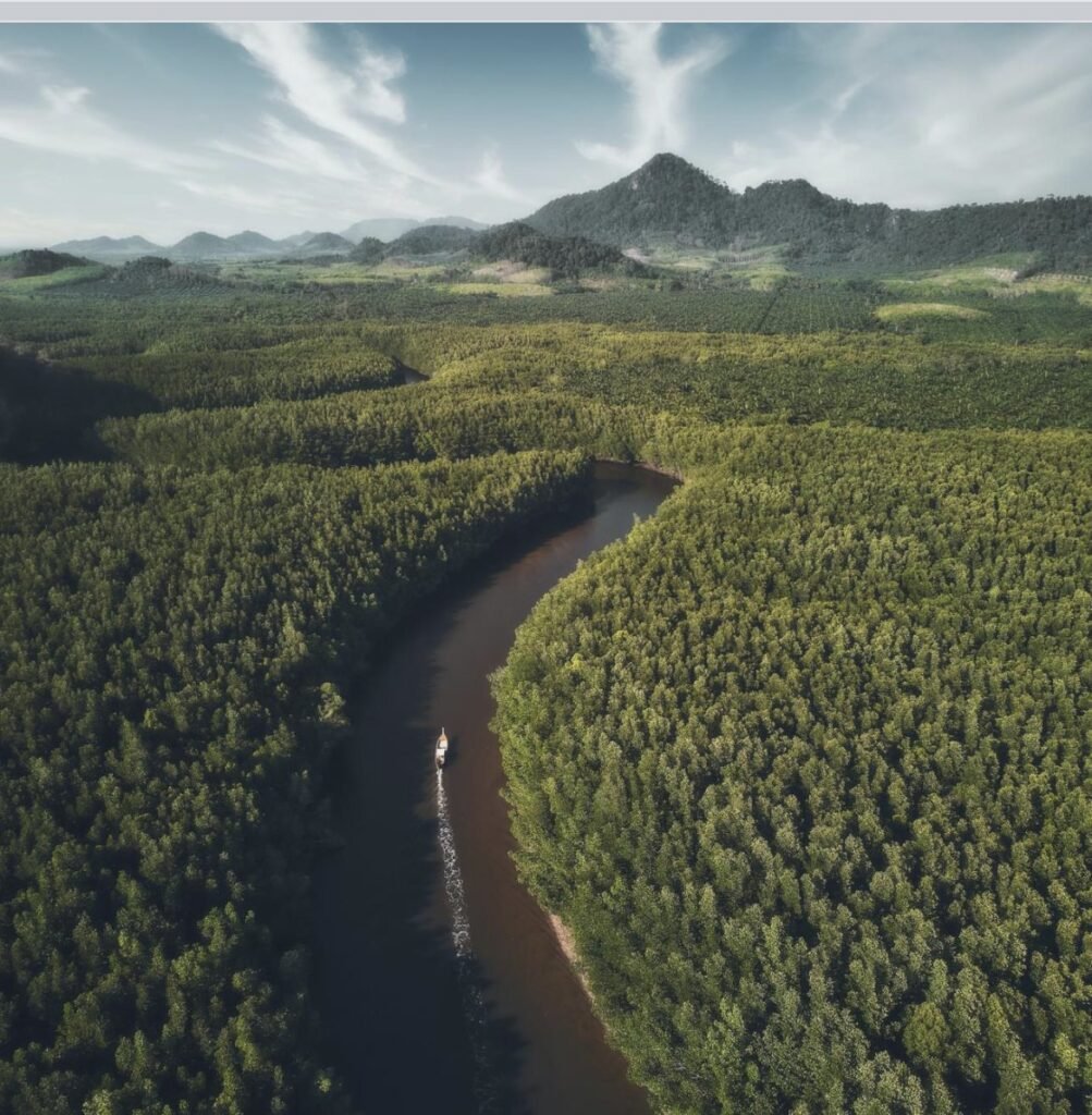
Behind the beaches, Trang’s coast dissolves into vast mangrove forests threaded with tidal canals, especially in Sikao and Kantang districts. From the air they are one of the most striking landscapes in southern Thailand. On the water, the way in is a community boat trip from Ban Nam Rap.




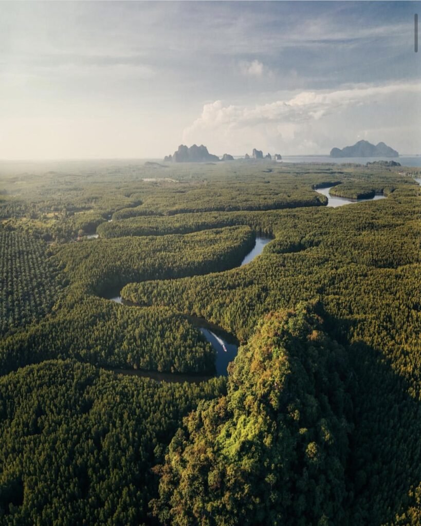
12Ban Nam Rap and the Heart-Shaped Island
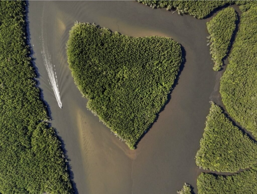
The fishing community of Ban Nam Rap in Kantang runs raft and longtail trips through the mangroves along the Ta Pae canal, with seafood served on board. Trips can include the climb up Khao Chom Pa and, at low tide, a sandbar that rises out of the sea, so check the tides before you go and ask the community group for current prices. Bring a hat and sunscreen.
Be realistic about the heart-shaped island. It is somewhere in these waters, but it only shows from the air: you will need a drone to see it as it appears here.
- Attraction Type
- Mangroves and boat trip
- Location
- Open in Google Maps
- Cost
- Ask the community group for current prices
- Best Time To Visit
- December to April; check tides before you go
- Number
- 083 240 6335
- How To Get There
- Drive to Ban Nam Rap in Kantang district (about 45 minutes from Trang town)
- What to Pack
- Hat, sunscreen and a drone if you want the heart shot

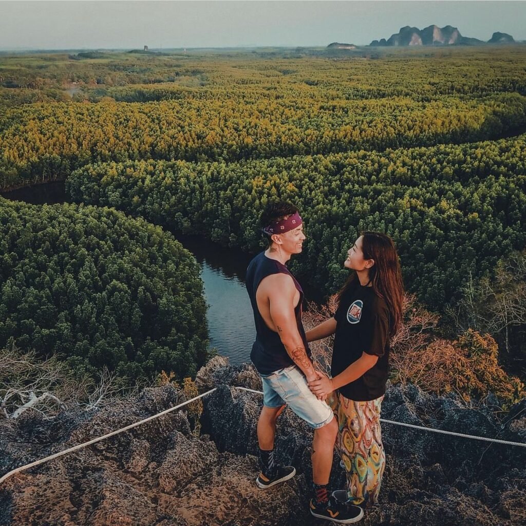
13Khao Chom Pa
Add this to a Ban Nam Rap boat trip if you’re reasonably fit. Khao Chom Pa, the mountain sunk in the forest, is an 84-metre limestone hill rising out of the mangroves. The trail is short, about 400 metres, but steep and rocky, with fixed ropes and a squeeze through a rock gap. At the top is a 360-degree view over the forest and its winding canals.
Wear closed-toe shoes, and gloves help on the ropes. Late afternoon in the dry season gives the best light.
- Attraction Type
- Viewpoint and hike
- Location
- Open in Google Maps
- Cost
- Included in community boat trips (check locally)
- Best Time To Visit
- Late afternoon in the dry season
- How To Get There
- By community raft or longtail from Ban Nam Rap
- What to Pack
- Closed-toe shoes, gloves and water
Trang Town and Inland
Trang town is where the airport, railway and buses arrive, and most visitors pass straight through to the piers. It is worth a night for its old town and breakfast culture, and the hills of Wang Wiset and the forest at Thung Khai are within an hour’s drive.


14Trang Old Town
Trang’s old town centre is a compact grid of Sino-Portuguese shophouses around Rama VI, Kantang and Ratchadamnoen roads, built by Chinese traders and port workers when Trang grew as a rubber and trading town. Look for the painted murals on the shophouse walls and alleys off Kantang Road, the old railway station at the end of Rama VI Road, and Trang Christian Church, whose entrance inscription dates it to 1915. Frog-headed tuk-tuks, a symbol of the city, wait outside the station.
Start early, because Trang is known for its breakfast culture: dim sum shops steam trays from dawn, served with coffee and Trang-style roast pork, and the best are busy before 8am. Walk the street art and facades in the soft light before 9am, then again in late afternoon. Allow two to three hours on foot. Some shops close for Chinese holidays, so check ahead at festival times.
- Attraction Type
- Historic town centre, street art and food
- Location
- Open in Google Maps
- Cost
- Free to walk; dim sum breakfast roughly 100 to 200 baht per person (check before you go)
- Opening Hours
- Streets open 24 hours; dim sum shops from about 6am to late morning (check before you go)
- Best Time To Visit
- Early morning for breakfast and soft light; November to April for dry weather
- How To Get There
- Walk from Trang railway station; frog-headed tuk-tuks run around town, fares agreed before you set off


15Thung Khai Botanic Garden Canopy Walkway
The Peninsular Botanic Garden at Thung Khai covers about 2,600 rai of lowland evergreen and swamp forest on the Trang to Palian road, around 13 km from Trang town. Its highlight is Thailand’s first canopy walkway: about 175 m of suspended bridges strung between towers, from roughly 5 m to 20 m above the forest floor. From the bridges you look straight into the crowns of tall dipterocarps, with lianas, ferns and birds at eye level, and the swamp forest boardwalks below.
Go early, from opening until about 10am, when it is coolest and the birds are most active. It is about a 20-minute walk from the entrance to the canopy bridges, and the full forest loop takes around an hour. Wear proper shoes, bring insect repellent and water, and expect wet, slippery boards after rain. Only a few people should be on each bridge section at once, so wait your turn and follow staff instructions.
- Attraction Type
- Botanic garden and canopy walkway
- Location
- Open in Google Maps
- Cost
- Free (check before you go)
- Opening Hours
- Daily 8.30am to 4.30pm (check before you go)
- Best Time To Visit
- Early morning; December to April for drier trails
- How To Get There
- Drive about 13 km from Trang town along Highway 404 towards Palian; the entrance is near kilometre 11. No regular public transport, so take a tuk-tuk, Grab or hired car


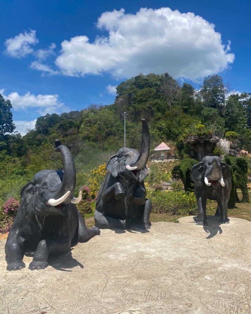
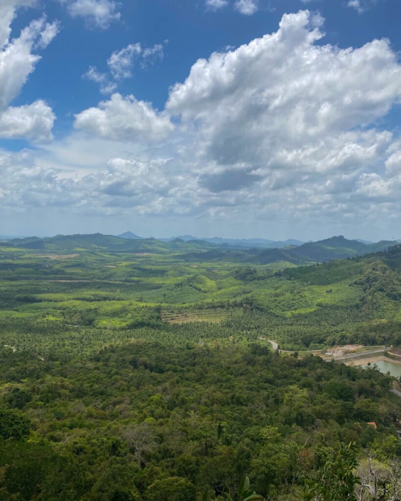
16Wang Pha Mek Sea of Mist and Dinosaur Park
Wang Pha Mek is a community-run viewpoint in the hills of Wang Wiset district, about 40 km north-west of Trang town. A steep trail of roughly 600 m climbs to the summit, where on clear mornings you look west over rubber-covered hills to the Andaman Sea and the islands off Krabi, and on misty mornings over a sea of cloud. At the foot of the hill, the Wangpamek Adventure Dinosaur Park is a sculpture garden of life-size dinosaurs alongside elephants, tapirs, fiddler crabs and local fish.
For the mist, start the climb in the dark: guided groups leave at about 4.30am and the mist usually lasts until around 9am. It forms most often in the rainy season and early cool season, especially after overnight rain, but it is never guaranteed. The climb takes about an hour, is slippery in places with rope sections, and has no toilets at the top. Bring a head torch, grippy shoes, water and cash for guide donations.
- Attraction Type
- Mountain viewpoint and dinosaur sculpture park
- Location
- Open in Google Maps
- Cost
- No entrance fee; guide and site donations expected (check before you go)
- Opening Hours
- Daily about 8am to 5pm; sunrise climbs from 4.30am by arrangement (check before you go)
- Best Time To Visit
- Sunrise, after rain, in the rainy season and early cool season (roughly June to December) for mist
- How To Get There
- Drive about 40 km from Trang town to Ban Thung Luang, Wang Maprang subdistrict, then about 3 km further; search 'Wangpamek Adventure Dinosaur Park' in Google Maps. Own transport needed for the early start
Created by
 Gavin Boyle@gavsgoneagain
 Will Fearon@asiaandbeyond
 Flora & Note@floraandnote
 Shayan Naveed@shayanadventures
- Sattayakoon Traikaew@lostinmyway_3
 Ittit Somboonsin@tchob_tchob
 Luke Yeung@luke.outside
 Alvaro Garcia Gallego@alvarogarciagallego
 Stephane Noiret@explore_with_stephane
 Kolin Friske@kolinfriske
