Trat is Thailand's easternmost coastal province, on the border with Cambodia, and almost everyone comes for the islands: more than 50 of them. Which island you pick matters more than anything else. Koh Chang is big, jungle-covered and has the most going on. Koh Kood is wilder and quieter, with some of the clearest water in the Gulf. Between them, small car-free islands like Koh Mak, Koh Kham and Koh Wai are for doing very little.
Bangkok Airways flies from Suvarnabhumi to Trat in about 1 hour, and buses run from Bangkok's Ekkamai terminal to the piers in about 6 hours. Car ferries cross to Koh Chang from Ao Thammachat in 30 to 40 minutes. Speedboats for Koh Mak, Koh Wai and Koh Kood leave from Laem Ngop and Laem Sok.
Come between November and April. From May to October the sea gets rough, many inter-island boats stop running and services to Koh Mak and Koh Kood are cut back, so check timetables before you travel.
How to split your days. Start on Koh Chang: a day on the west-coast beaches with sunset at Kai Bae, a day in the interior and down the east coast to the Salak Phet mangroves and Koh Ngam, and an evening at Bang Bao. From Bang Bao, island-hop south by speedboat in high season: a night on Koh Wai, then Koh Mak with a side trip to Koh Kham, and finish on Koh Kood, where the resorts are built for staying put and the Koh Rang reefs are a short boat ride away. Head back to the mainland from Laem Sok.
Good to know
- Tourist Police: 1155
- Emergency (ambulance): 1669
- Mu Ko Chang National Park: 039 510 928
- TAT: Trat
- Getting to Koh Chang
Koh Chang
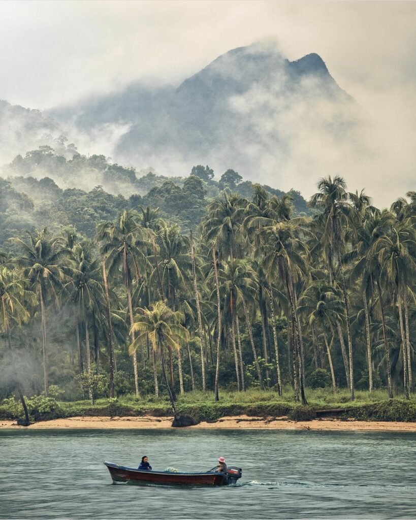
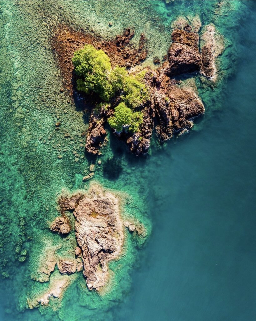
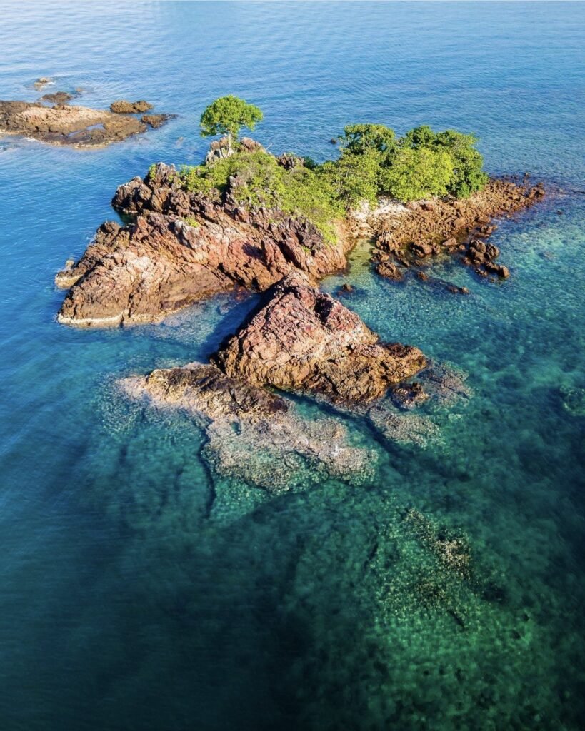
Thailand’s third-largest island is mostly mountainous jungle. The beaches are strung along the west coast, while the east has quieter fishing villages and mangroves. The 30 to 40-minute car ferry from Ao Thammachat makes it the easiest of Trat’s islands to reach, and the ring of small islands off its southern tip is reached from Bang Bao. Lonely Beach is the place for nightlife.






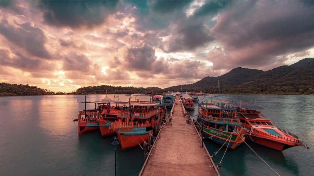

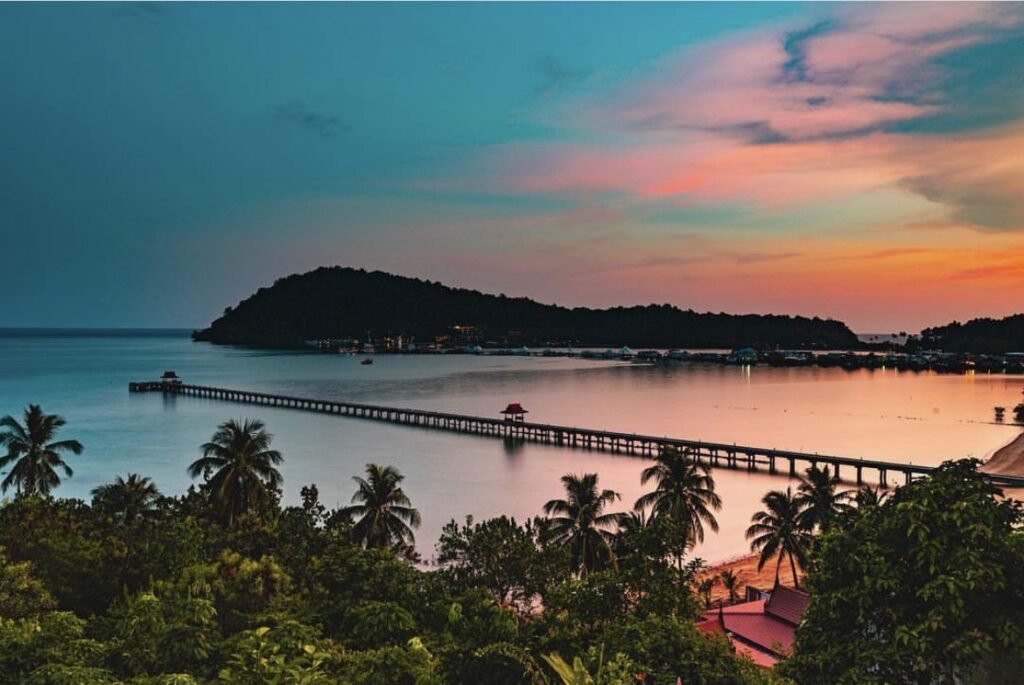
01Bang Bao Fishing Village
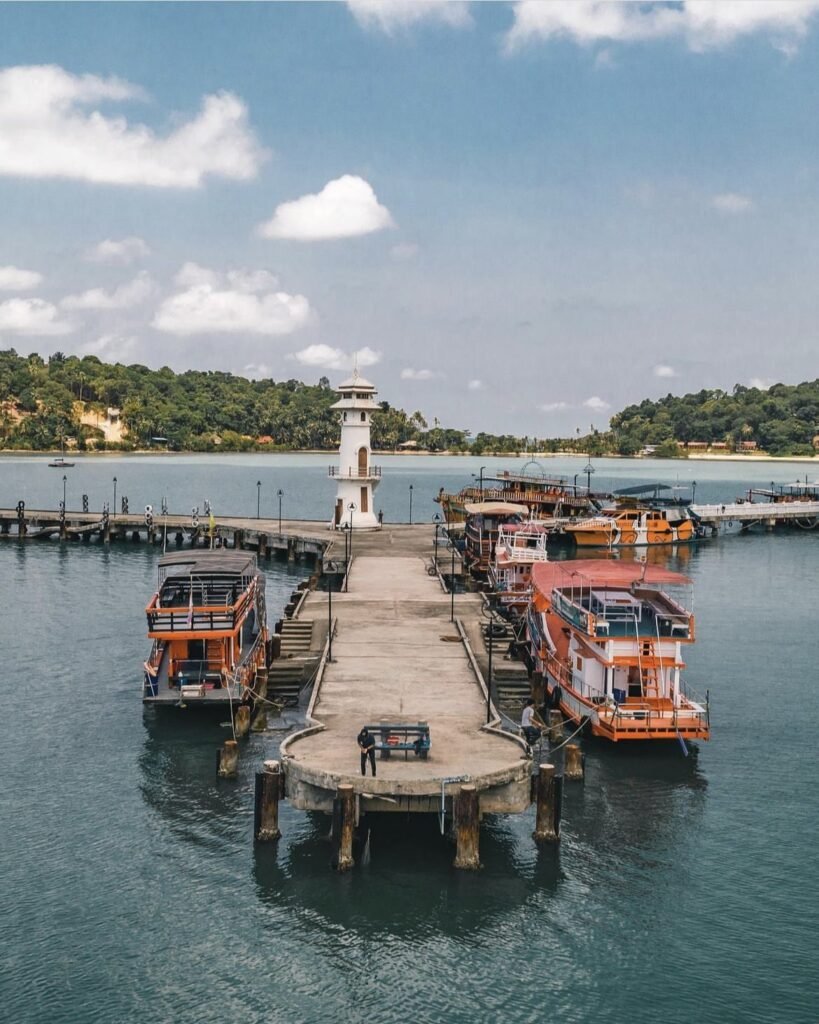
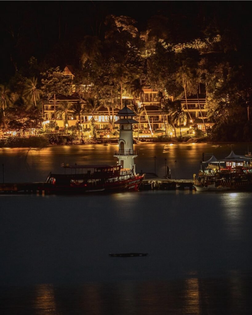
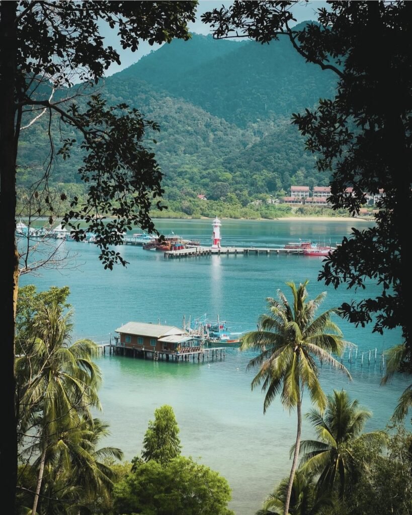
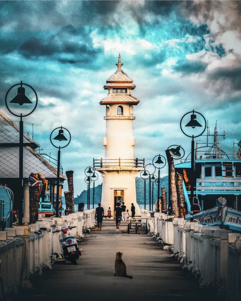
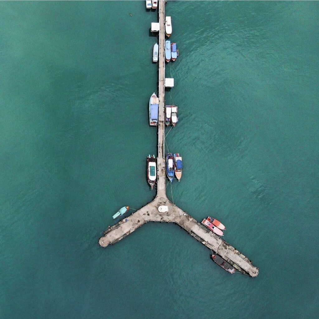
On Koh Chang’s southern tip, Bang Bao is an old fishing village built on stilts along a pier that runs about 700 metres out into the bay, ending at a small lighthouse you can climb. The stilt houses are now guesthouses, dive shops, souvenir stalls and seafood restaurants.
Come for sunset and stay for dinner over the water, but browse first: the shops along the pier close early, around 18:00 to 19:00. Snorkelling and island-hopping boats leave from here, and in high season so do the speedboats to Koh Wai, Koh Mak and Koh Kood.
- Attraction Type
- Fishing village and pier
- Location
- Open in Google Maps
- Cost
- Free
- Best Time To Visit
- Late afternoon into the evening
- How To Get There
- At the end of the west-coast road, about 45 minutes from the ferry pier
- What to Pack
- Cash for the seafood restaurants





02Lonely Beach
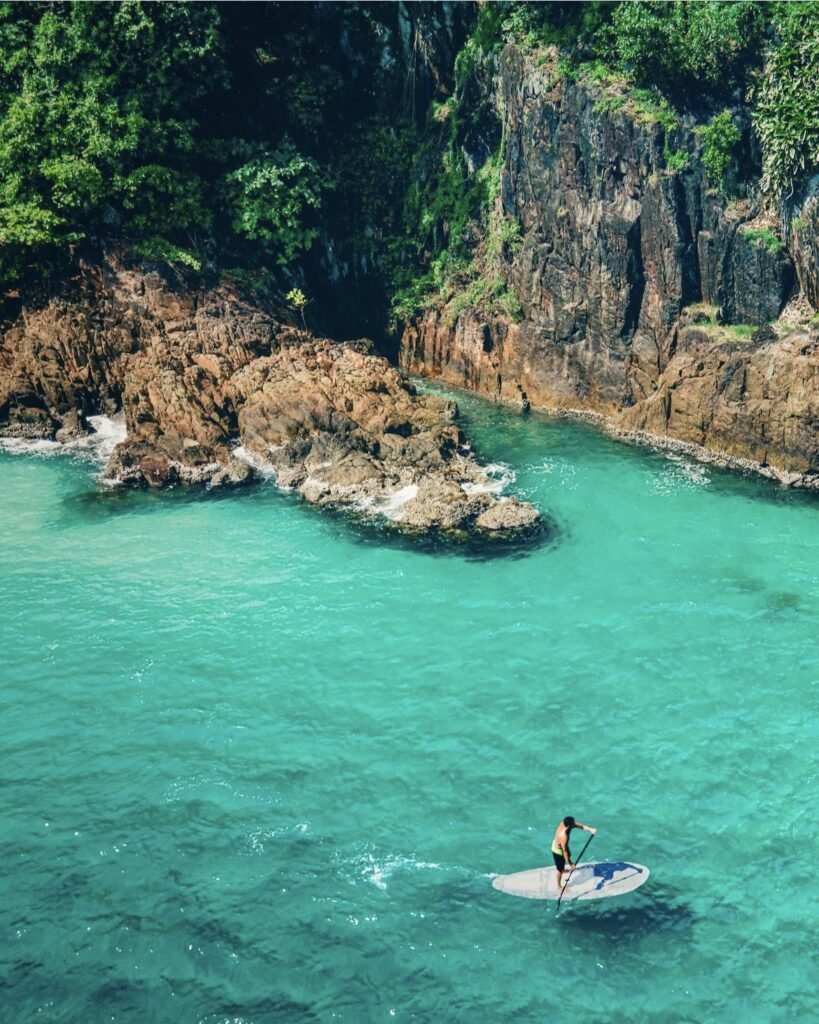
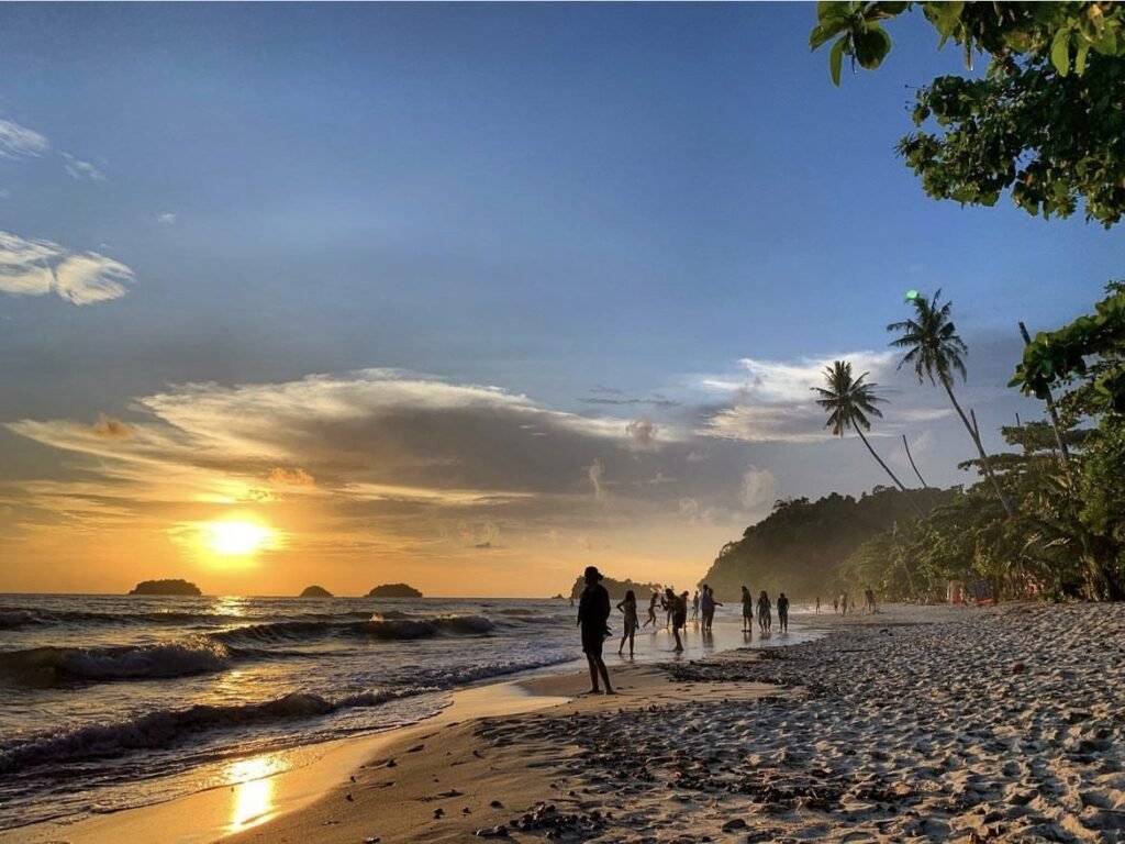
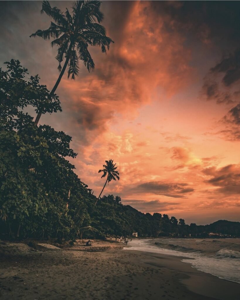
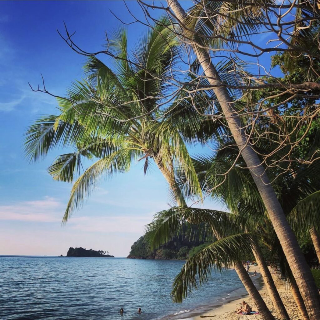
Koh Chang’s backpacker and party hub, over a steep hill from Kai Bae on the south-west coast. Head for the northern end, where the sand is best. Behind the beach is a busy strip of cheap guesthouses, bars and street food.
Days are lazy and the sunsets are among the best on the island. Nights are loud: if you’re not here for the party, sleep elsewhere, or bring earplugs.
- Attraction Type
- Beach and nightlife
- Location
- Open in Google Maps
- Cost
- Free
- Best Time To Visit
- Sunset, November to April
- How To Get There
- About 40 minutes from the ferry pier along the west-coast road
- What to Pack
- Earplugs






03Kai Bae Beach and Viewpoint
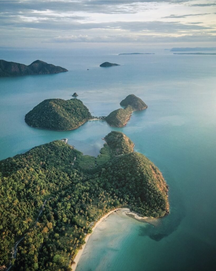
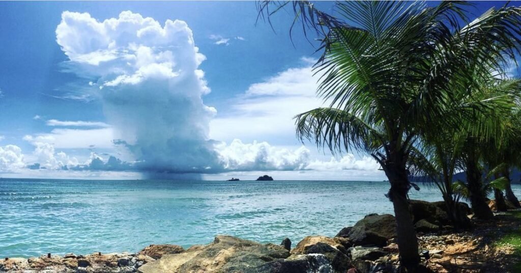
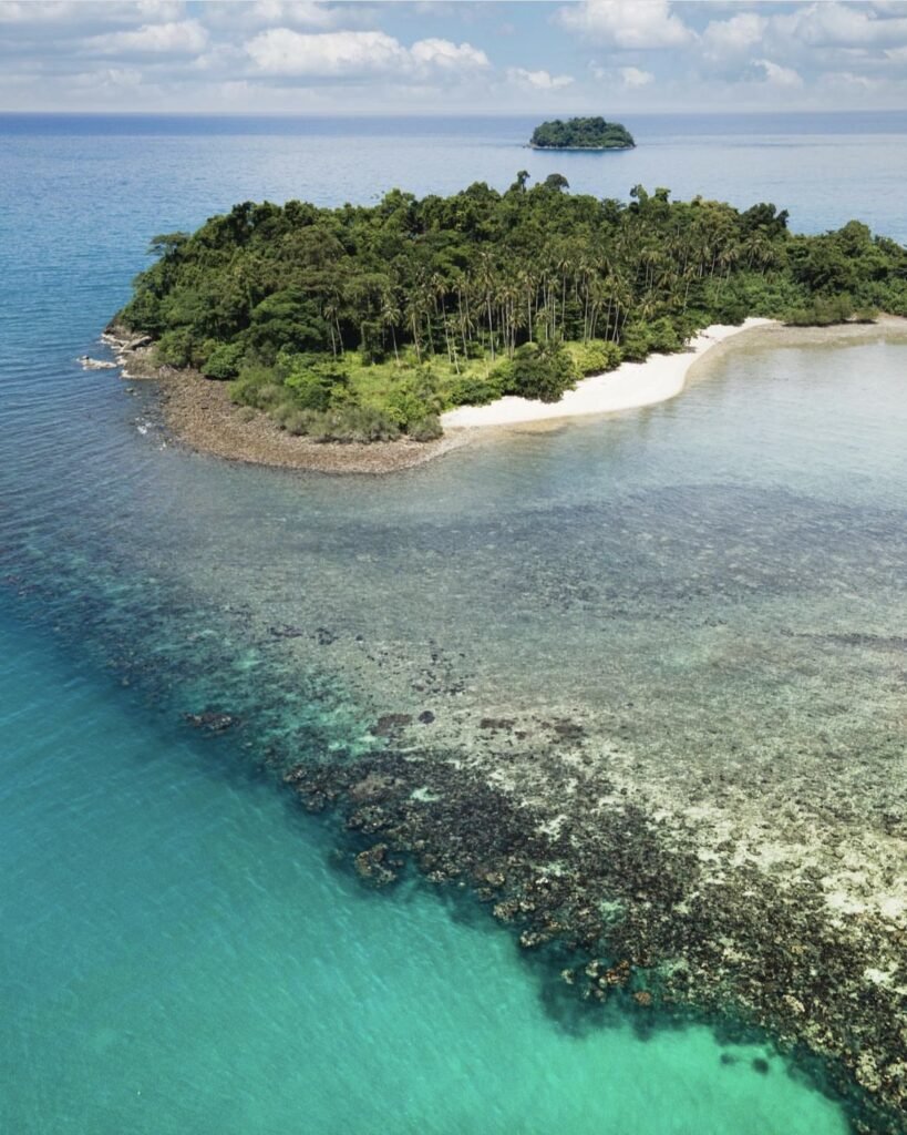
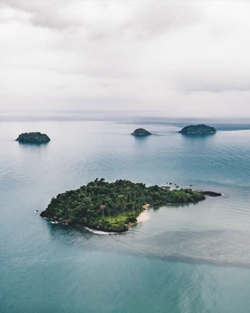
A narrow, partly rocky beach on the west coast, worth it for the sunsets and the small islands just offshore. When the sea is calm you can kayak out to Koh Man Nai.
Just south of the beach, the road climbs to the Kai Bae viewpoint, which looks down over the bay and four islands at once, with Koh Man Nai closest. There’s a café with seating at the top. Come in the early morning or at sunset; a zoom lens helps.
- Attraction Type
- Beach and viewpoint
- Location
- Open in Google Maps
- Cost
- Free
- Best Time To Visit
- Early morning or sunset
- How To Get There
- About 30 minutes south of the ferry pier on the west-coast road


04Khao Laem Viewpoint, Koh Chang
Khao Laem (เขาแหลม) is a peak in Mu Ko Chang National Park, rising behind Salak Phet in the south-east of Koh Chang. Its viewpoint, at about 580 m on a bare rocky outcrop, looks south over Bang Bao, Salak Phet and the scattered southern islands, and is the island’s best spot for sunrise.
This is a proper jungle trek: about 3.8 km from the trailhead near Khiriphet Waterfall, with roughly 600 m of climbing, a steep early section and a rocky scramble near the top. Allow about three hours up. Go with a guide unless you are an experienced jungle hiker; the trail is marked but easy to lose. For sunrise you need to start in the dark or camp, and camping requires national park permission. December to March brings the clearest skies.
- Attraction Type
- Viewpoint / hike
- Location
- Open in Google Maps
- Cost
- National park fee (200 THB quoted by one operator); guided treks about 1,850 to 2,150 THB per person (check before you go)
- Opening Hours
- Daylight hiking; overnight camping only with park permission
- Best Time To Visit
- December to March for clear sunrise views; avoid the rainy season when cloud often hides the view
- How To Get There
- Drive or ride to Salak Phet in south-east Koh Chang and follow the old road to Khiriphet Waterfall; the trail starts from the small car park. Guides can arrange transfers.





05West Coast Beaches
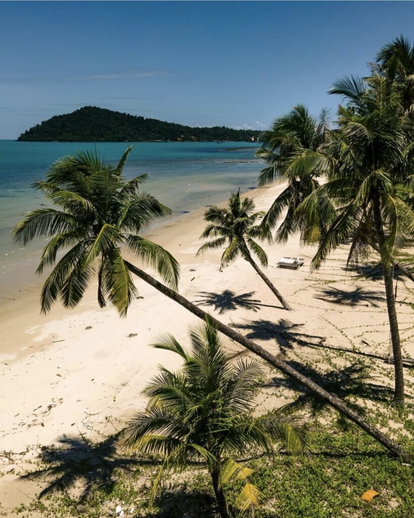
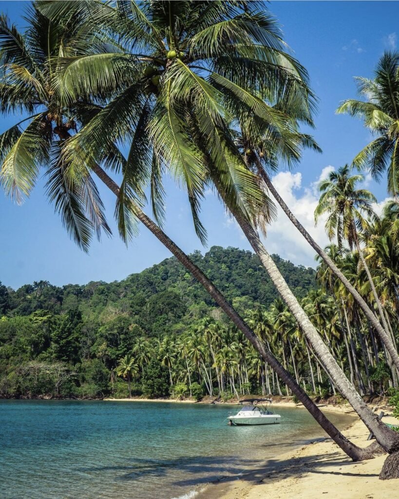
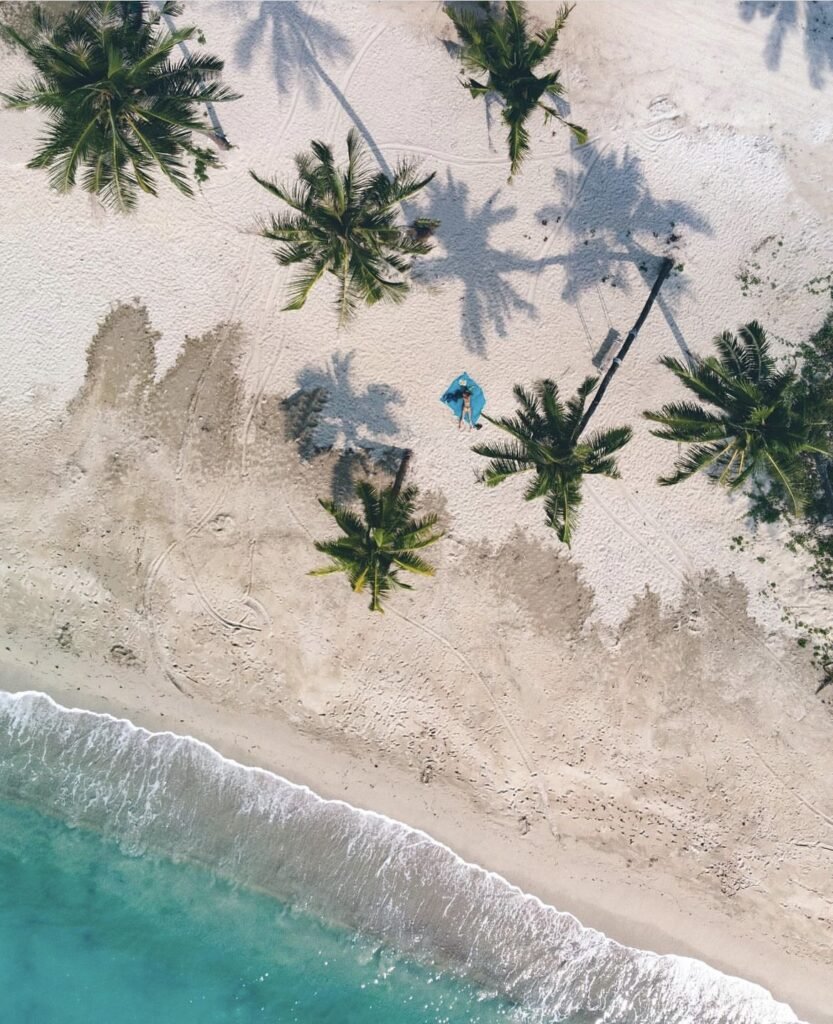
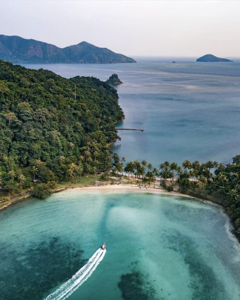
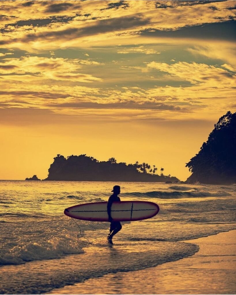
Most of Koh Chang’s beaches run down the west coast, from White Sand Beach in the north to Klong Prao and Kai Bae further south: wide golden sand, rows of coconut palms and calm water in the dry season.
In the rainy season the surf picks up and swimming can be dangerous. Watch for warning flags and take them seriously.
- Attraction Type
- Beaches
- Location
- Open in Google Maps
- Cost
- Free
- Best Time To Visit
- November to April
- How To Get There
- Songthaews run along the west-coast road from the ferry pier


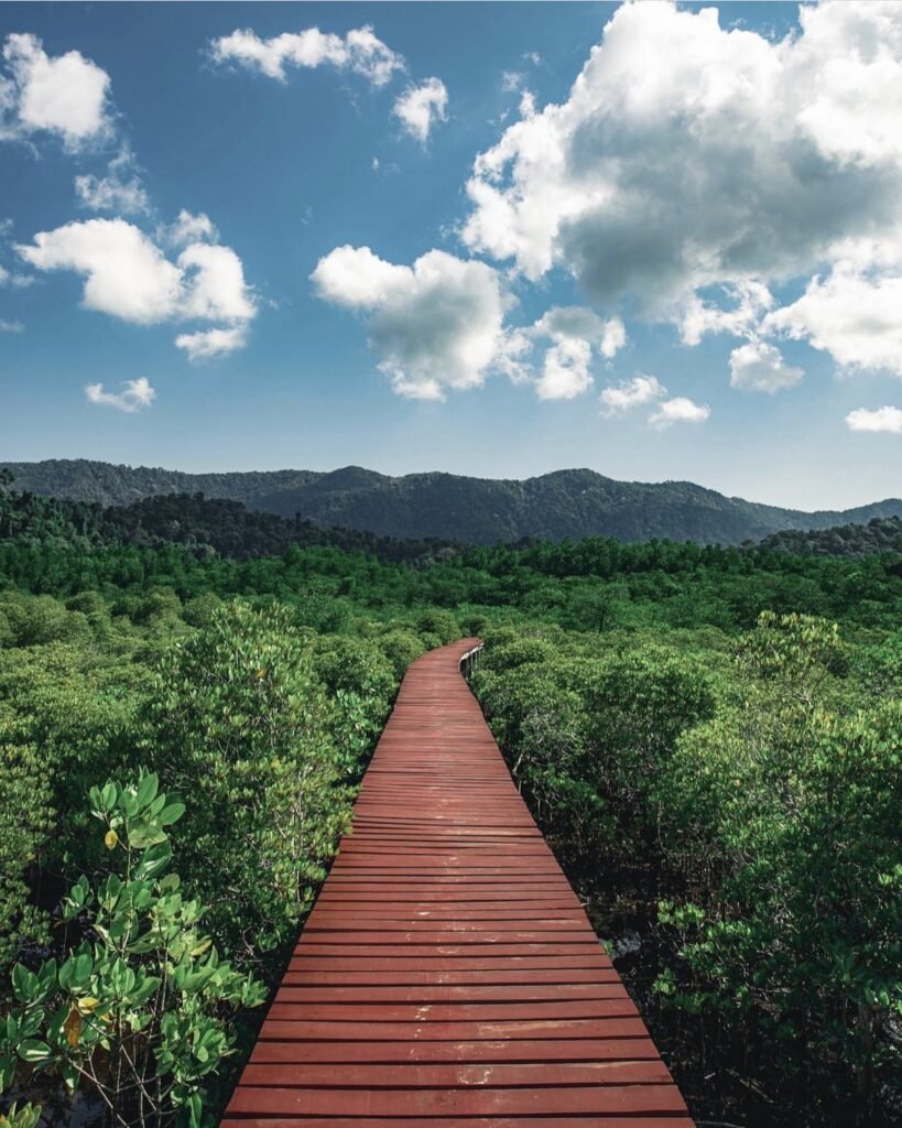


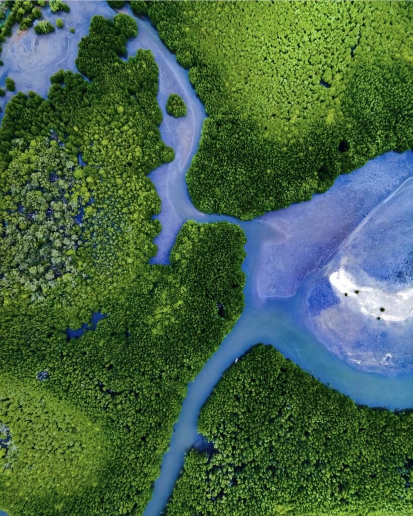
06Salak Phet and Salak Khok Mangroves
Koh Chang’s quieter east and south coasts are fringed with mangroves. At Salak Khok and Salak Phet, wooden walkways lead into the forest, and at Salak Khok you can take a short boat ride through the channels. It is shady and calm after the beaches, and the drive passes fishing villages and viewpoints on the way.
Watch your step: the boardwalks have loose and missing planks in places. Scooter parking costs about 20 THB in cash.
- Attraction Type
- Mangrove walkway
- Location
- Open in Google Maps
- Cost
- Free; boat tours around 200 THB
- Best Time To Visit
- Morning or late afternoon
- How To Get There
- Drive south along the east-coast road, about 25 km from the ferry pier
- Opening Hours
- Walkways open all day; Salak Khok boat tours daily, 08:00 to 16:00
- What to Pack
- Insect repellent
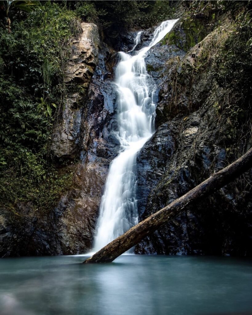

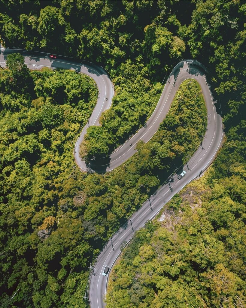




07Waterfalls and Mountain Roads
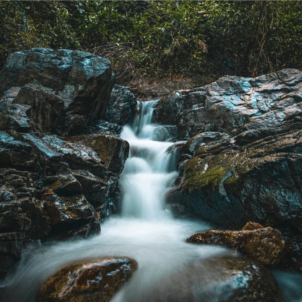
The jungle interior is part of Mu Ko Chang National Park. Klong Plu waterfall, a 15 to 20-minute walk inland from Klong Prao, drops into a large plunge pool with fish in the clear water, so bring goggles. Than Mayom on the east coast is the other park waterfall, and one ticket covers both on the same day. Both are fullest from October to December, and the rocks are slippery.
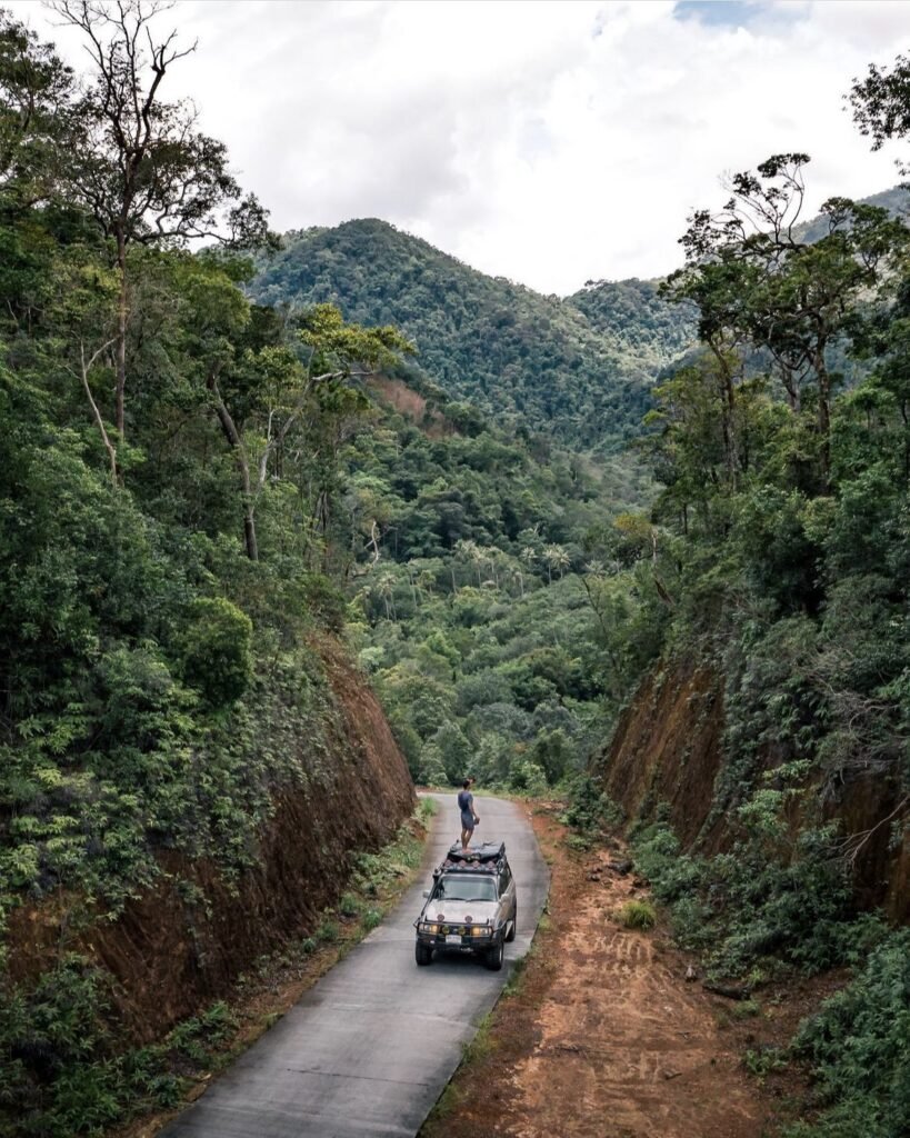
The roads between the beaches climb over steep hairpin hills, especially between Klong Son and White Sand and between Kai Bae and Lonely Beach. Scooters are easy to rent, but don’t underestimate these hills: take them slowly, wear a helmet, and don’t ride in heavy rain.
- Attraction Type
- Waterfall and scenic drive
- Location
- Open in Google Maps
- Cost
- 200 THB for foreigners, 40 THB for Thais (Mu Ko Chang National Park fee)
- Best Time To Visit
- October to December for the waterfalls
- Opening Hours
- Klong Plu daily, 08:00 to 16:30; Than Mayom daily, 09:00 to 16:30
- Number
- 039 510 928
- How To Get There
- Klong Plu is about 1 km inland from Klong Prao Beach
- What to Pack
- Swimwear, grippy shoes and goggles



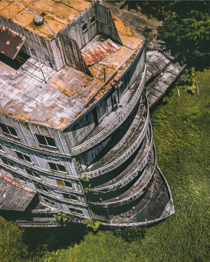
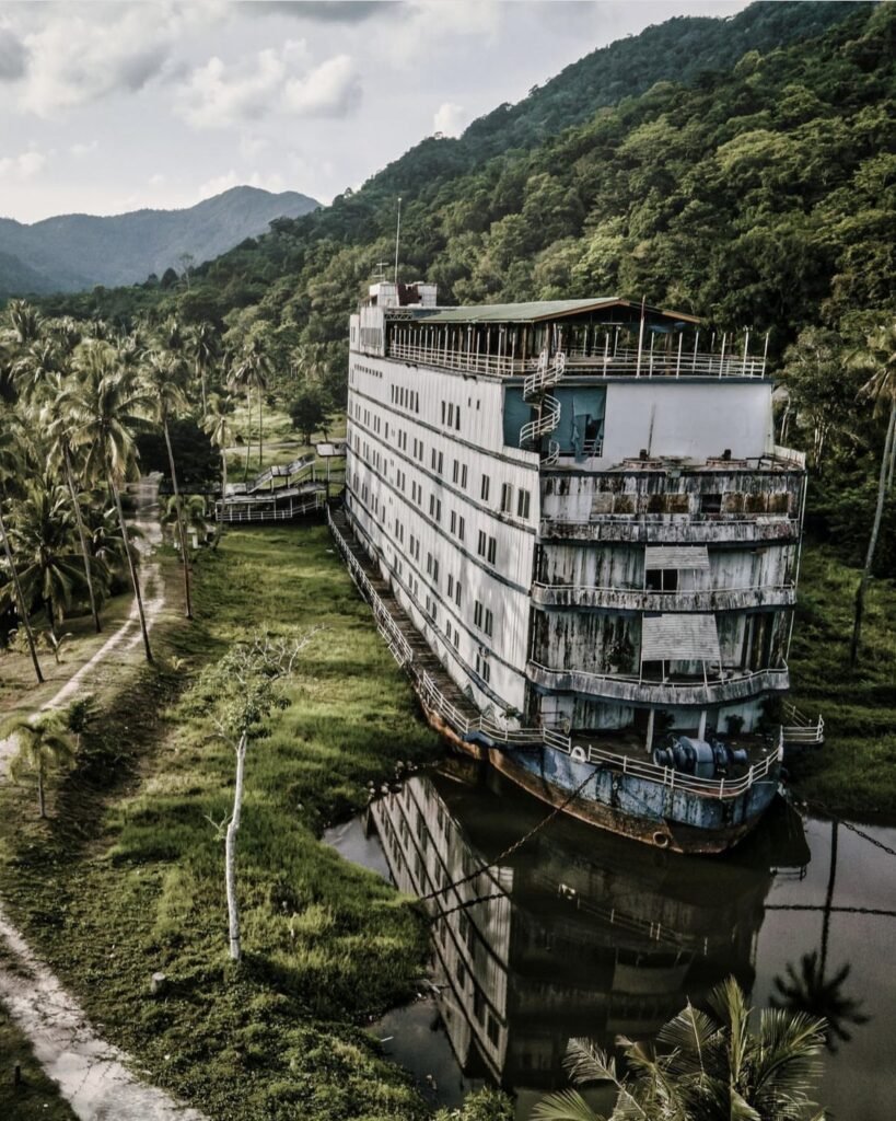


08The Ghost Ship (Grand Lagoona)
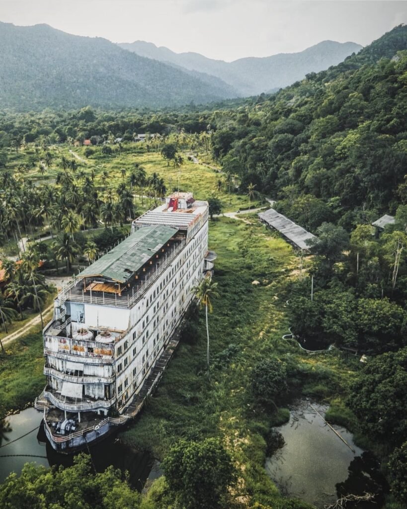
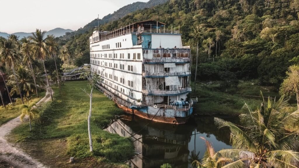
Don’t come expecting the ship. At Khlong Kloi on the south-east coast, an unfinished seven-storey hotel built in the shape of a cruise ship sat abandoned in the jungle for years and became one of Koh Chang’s most photographed sights. It was gutted by fire on 3 December 2024 and has since been cut up for scrap, leaving only the hull, so these photos show it as it was.
Since the fire the site has been reported closed to visitors, possibly for good, so check locally before making the trip.
- Attraction Type
- Abandoned building
- Location
- Open in Google Maps
- Cost
- Reported closed since the fire; the old 100 THB gate fee may no longer apply (check before you go)
- Best Time To Visit
- Check current access first
- How To Get There
- In the far south of the island, off the road from Bang Bao towards Khlong Kloi
- What to Pack
- Sturdy shoes
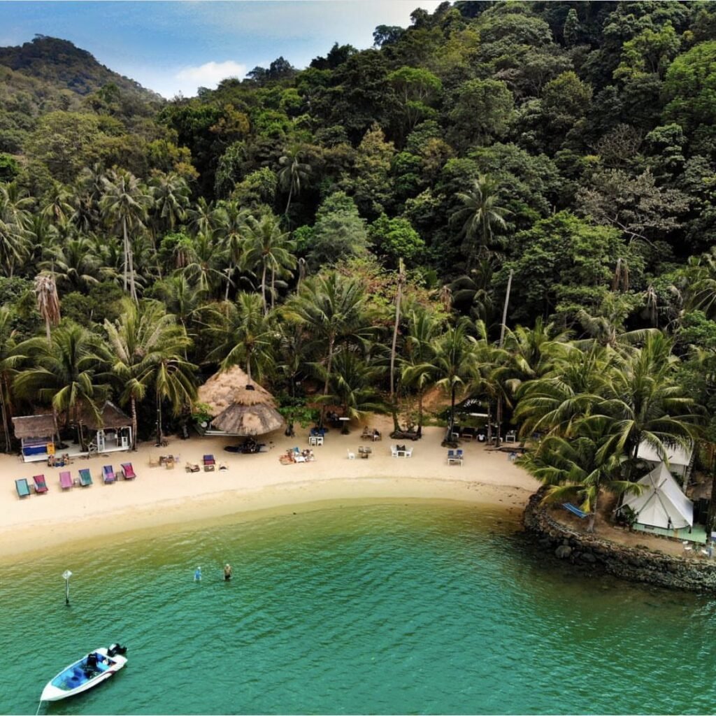

09Temporarily closedLisca Beach
Lisca Beach is listed as temporarily closed, so don’t make the trip without checking first. It is a tiny, secluded bay in the far south of Koh Chang with a beachfront restaurant, bar and glamping site serving Thai and Italian food. The rough forest path in is what keeps it quiet.
- Status
- Temporarily closed on Google Maps (checked October 2026)
- Attraction Type
- Beach, restaurant and glamping
- Location
- Open in Google Maps
- Cost
- Free to visit
- Best Time To Visit
- Sunset
- How To Get There
- In the Bai Lan area near Lonely Beach, via a rough forest path
- What to Pack
- Proper shoes for the path


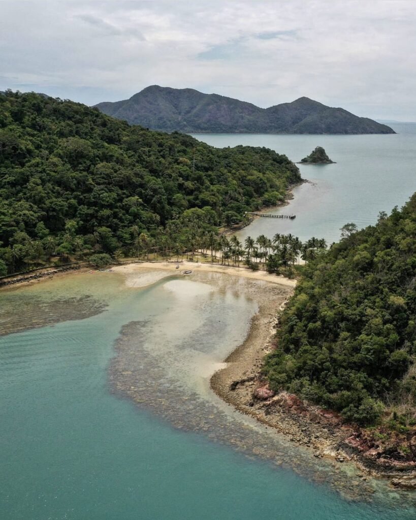
10Koh Ngam
Two forested hills joined by a curving sandbar, with water on both sides: Koh Ngam, off Koh Chang’s south-east coast, is one of the prettiest sights in the archipelago, especially from the air. Local boats cross from the pier at Long Beach for about 100 THB, or you can kayak over. Bring snorkel gear.
- Attraction Type
- Island and sandbar
- Location
- Open in Google Maps
- Cost
- 200 THB for foreigners, 40 THB for Thais (Mu Ko Chang National Park fee)
- Best Time To Visit
- November to April
- How To Get There
- By local boat (about 100 THB) or kayak from the pier at Long Beach, at the end of the east-coast road
- What to Pack
- Snorkel gear


11Koh Laoya and Koh Khlum
Koh Laoya is a cluster of three small islets off southern Koh Chang, and Koh Khlum is a quiet island nearby with a few bungalows. Most people see both on a shared three-island boat trip with Koh Wai, stopping to swim and snorkel. Wooden boat trips include lunch.
- Attraction Type
- Islands
- Location
- Open in Google Maps
- Cost
- Around 750 THB by wooden boat with lunch
- Best Time To Visit
- November to April
- How To Get There
- Day trips from Bang Bao or Salak Phet
- What to Pack
- Snorkel gear
Koh Kood
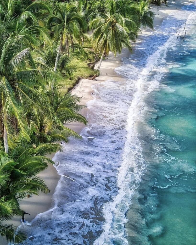
Koh Kood (also spelled Koh Kut) is Thailand’s fourth-largest island but one of its least developed: no big town, jungle waterfalls and some of the clearest water in the Gulf of Thailand. It is the island to choose if you want to stay put at a resort. Speedboats run from Laem Sok on the mainland, and you will need a scooter or a resort with transfers to get around.




12Ao Tapao
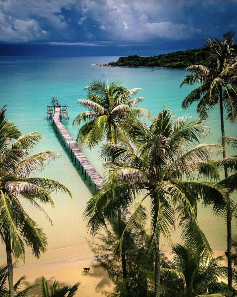
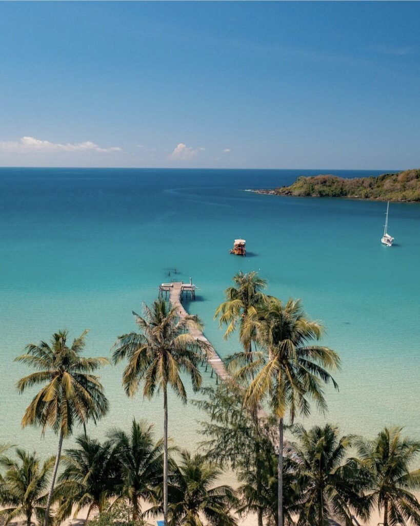
One of Koh Kood’s most popular beaches, and there’s still plenty of space: a long white-sand bay on the west coast with shallow, clear water, a wooden pier running out to sea and only a few resorts behind it. Stay for sunset.
- Attraction Type
- Beach
- Location
- Open in Google Maps
- Cost
- Free
- Best Time To Visit
- Sunset, November to April
- How To Get There
- Boat from Laem Sok pier to Ao Salad, Koh Kood (about 1 hour), then a taxi
- What to Pack
- Snorkel gear
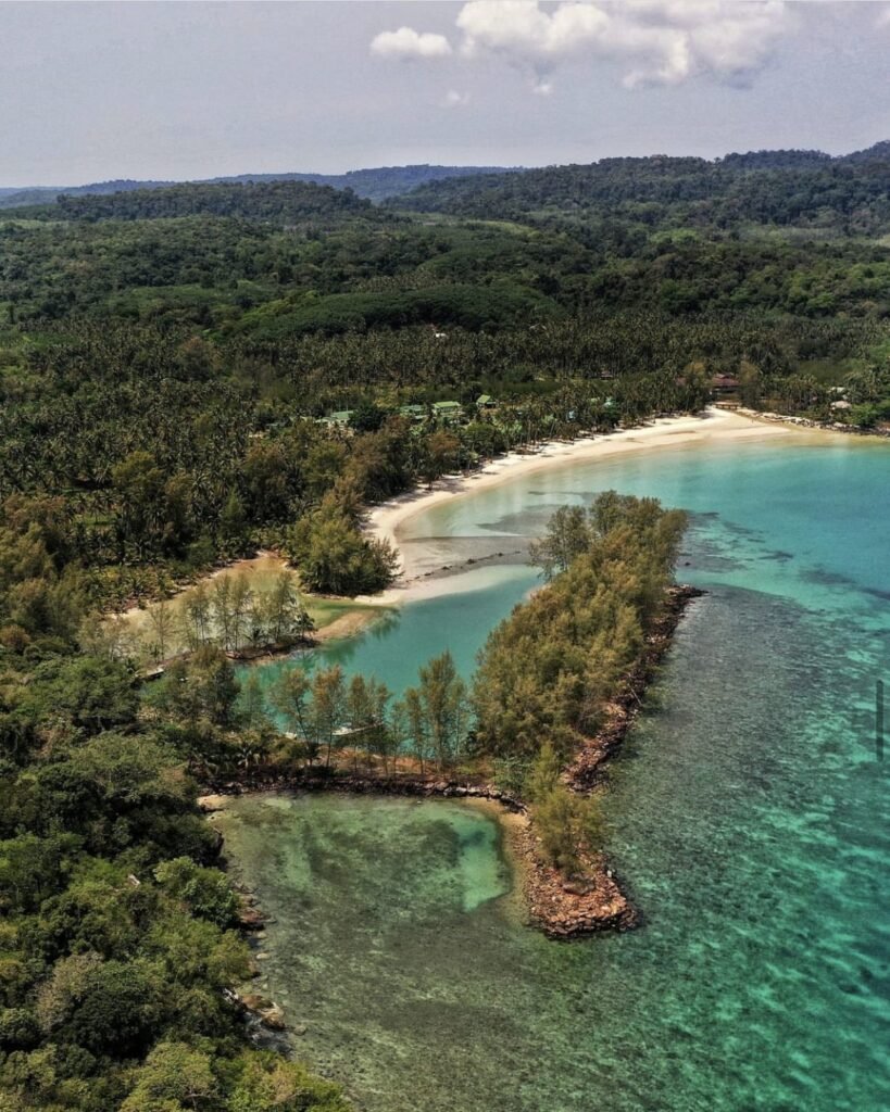
13Haad Khlong Hin
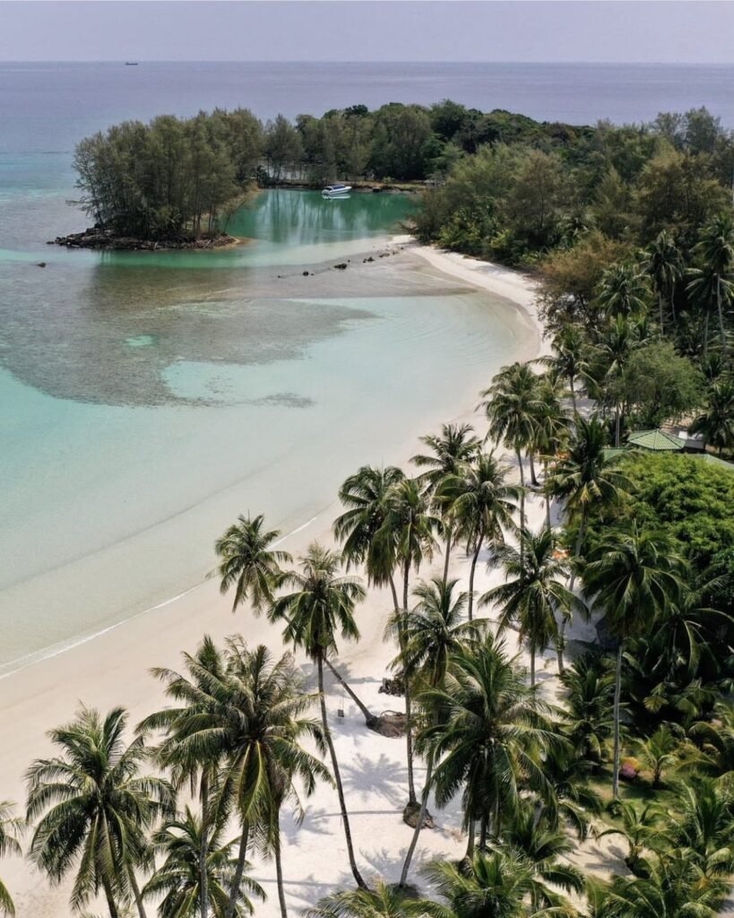
If you’re travelling with children, this is the Koh Kood beach to pick. The horseshoe bay on the south-west coast has about 500 metres of white sand and very shallow, calm water.
- Attraction Type
- Beach
- Location
- Open in Google Maps
- Cost
- Free
- Best Time To Visit
- November to April
- How To Get There
- Boat from Laem Sok pier to Ao Salad, Koh Kood (about 1 hour), then a taxi
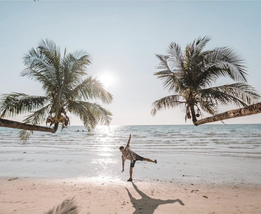


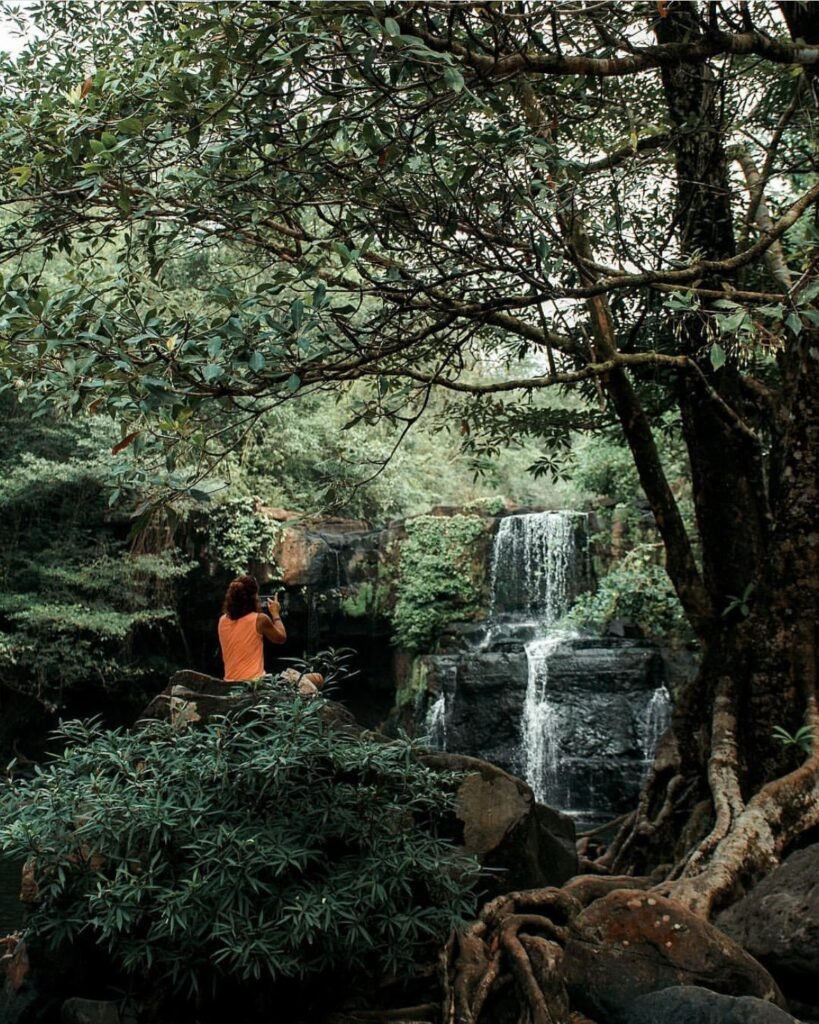
14Khlong Chao Beach and Waterfall
Klong Chao is Koh Kood’s central beach, with soft sand, calm water and a river mouth where the Khlong Chao canal meets the sea. A small night market and riverside guesthouses are nearby.
Follow the river inland to the three-tiered Khlong Chao waterfall and its swimming pool, a 10-minute forest walk from the car park. Go in the morning, before the Thai tour groups arrive. After a paved first stretch the trail turns muddy and rocky, with guide ropes in places, so wear shoes with grip.
- Attraction Type
- Beach and waterfall
- Location
- Open in Google Maps
- Cost
- Free (donations welcome)
- Best Time To Visit
- Morning; the waterfall is fullest at the end of the rainy season
- How To Get There
- Boat from Laem Sok pier to Ao Salad, Koh Kood (about 1 hour), then a taxi
- Opening Hours
- Daily, 08:00 to 17:00
- What to Pack
- Swimwear and shoes with grip
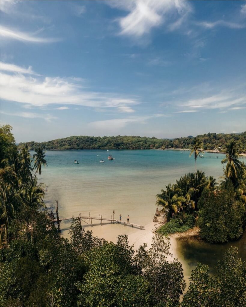







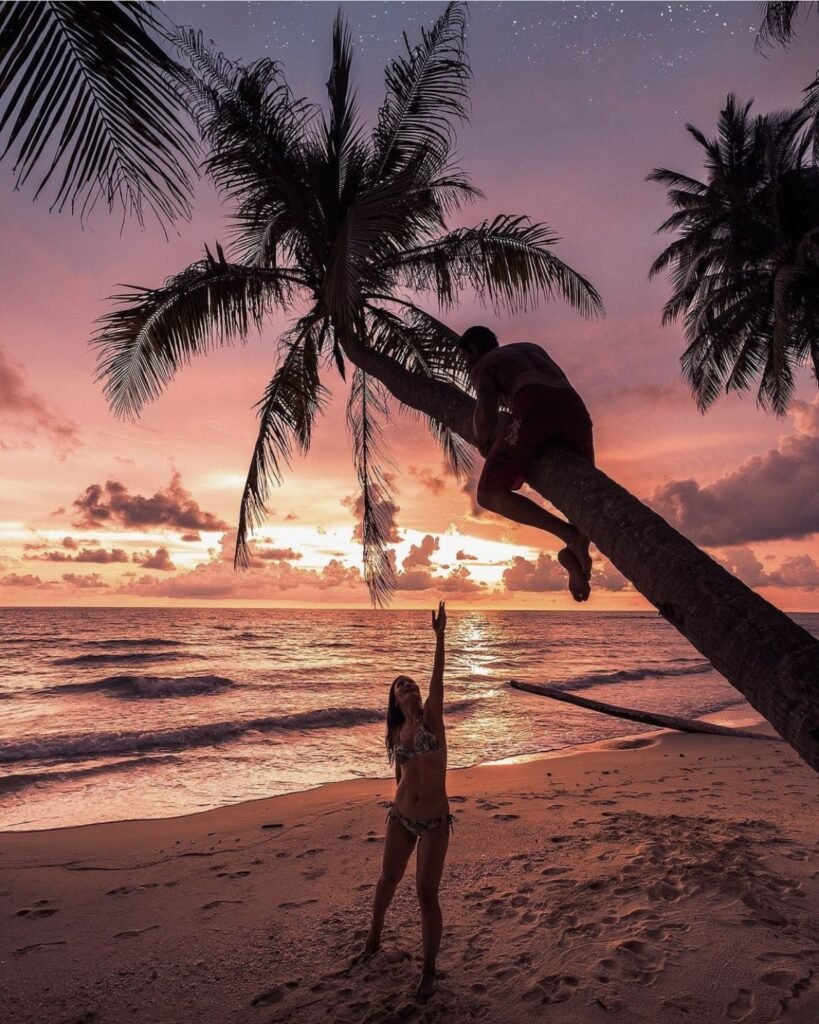
15Coves, Swings and Sunsets
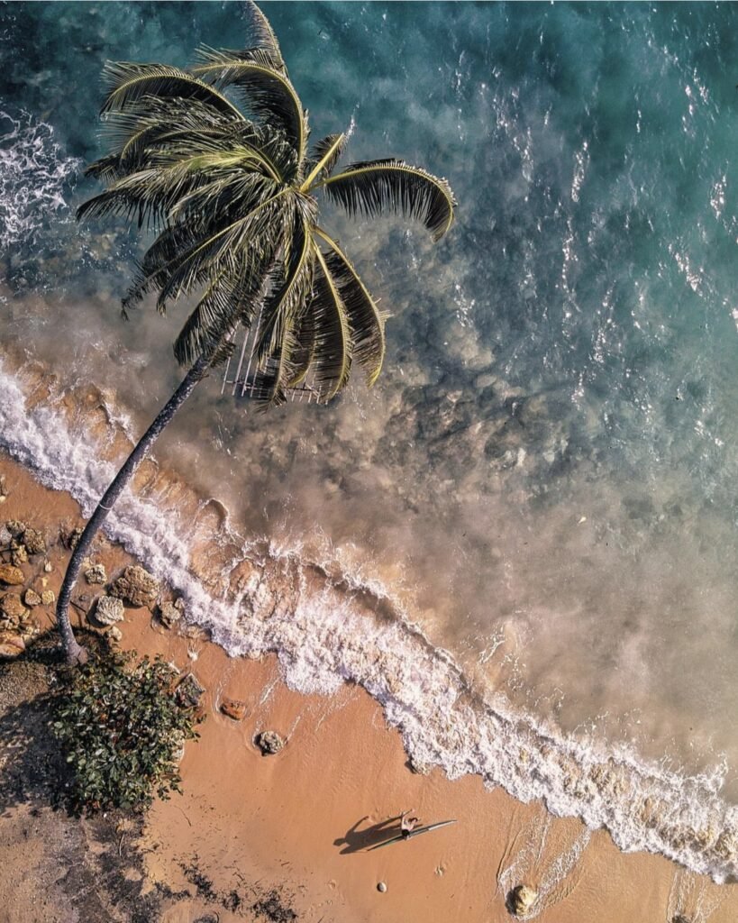
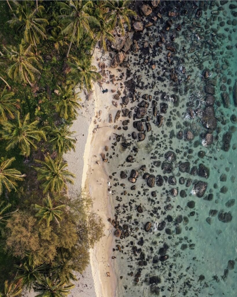
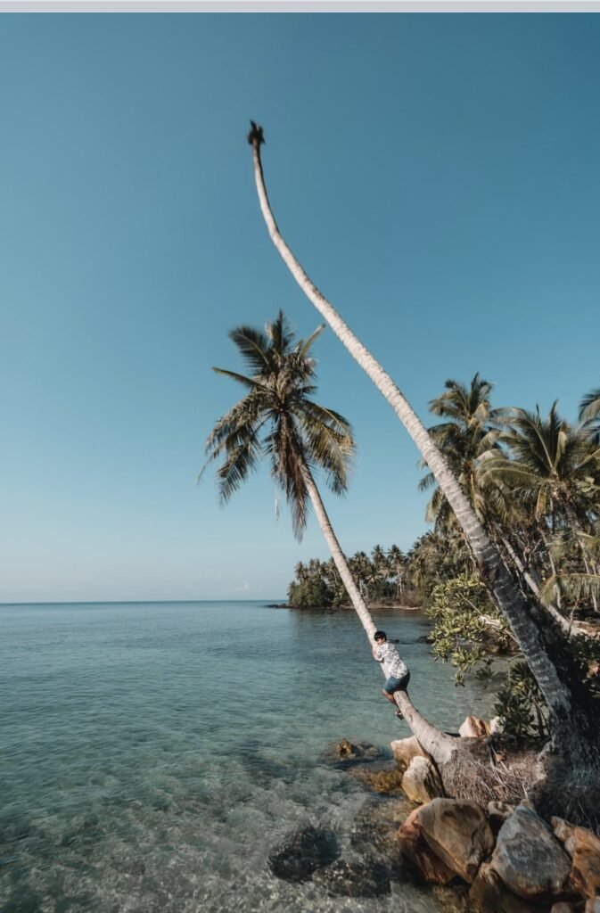
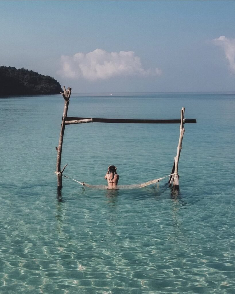
Much of Koh Kood’s coast is a string of small, quiet coves backed by jungle, many with a leaning palm or a swing over the water. Pick one on the west coast for sunset.
On the south-east coast, Ao Yai is a working stilt fishing village with a few seafood restaurants. Go early in the morning or late in the afternoon, and remember these are people’s homes when you take photos.
- Attraction Type
- Beaches and coves
- Location
- Open in Google Maps
- Cost
- Free
- Best Time To Visit
- Sunset on the west coast
- How To Get There
- Rent a scooter or arrange transfers with your resort
- What to Pack
- Snorkel gear and a dry bag



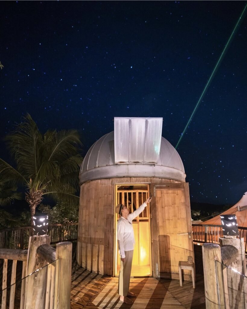


16Where to Stay on Koh Kood
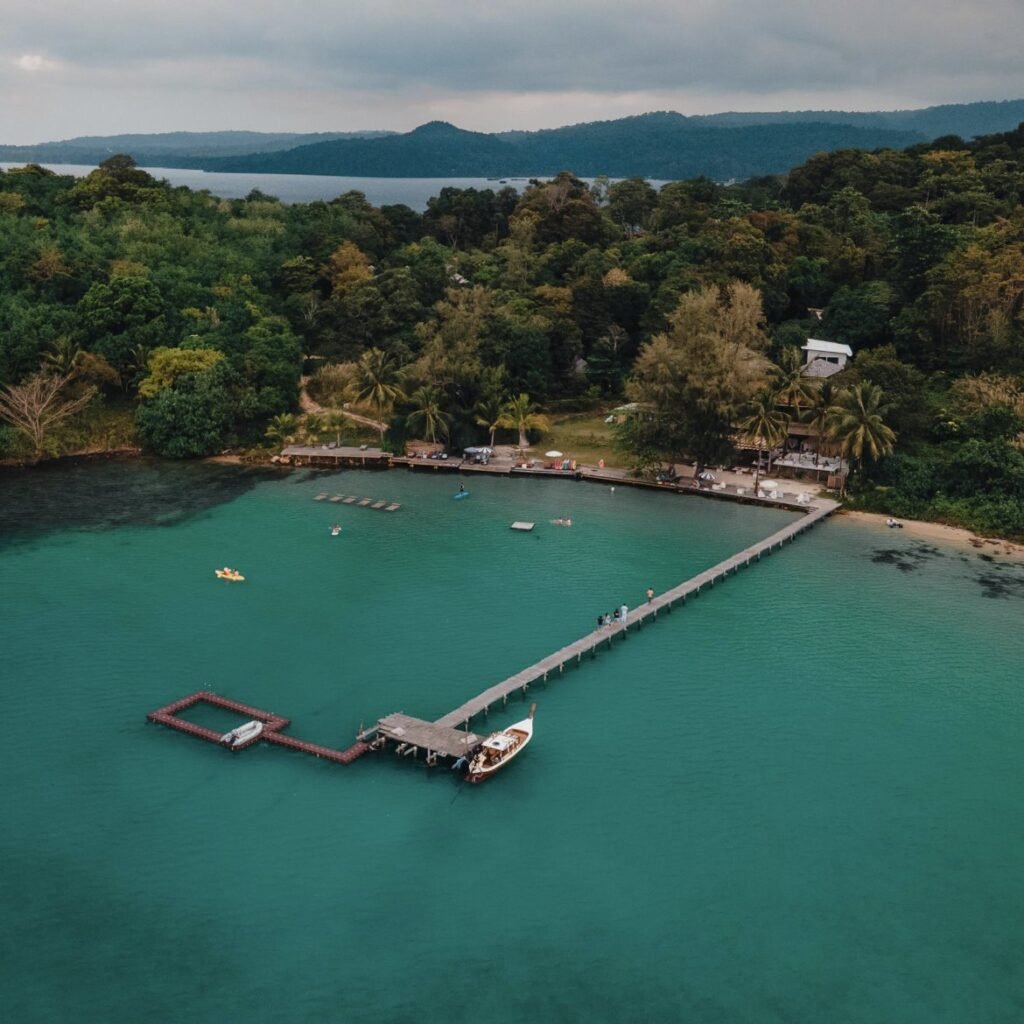
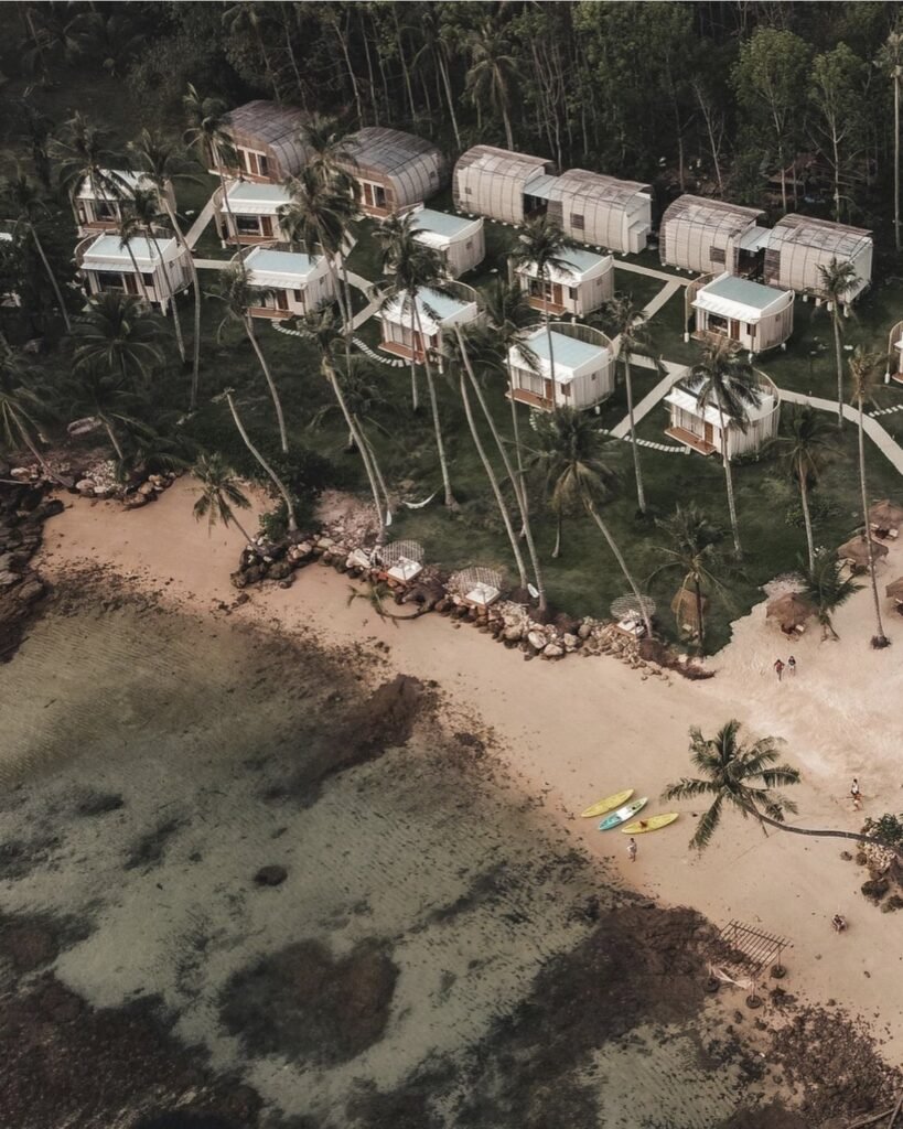
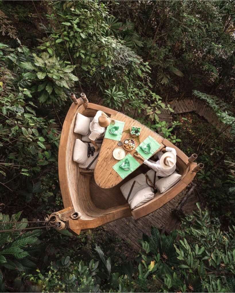
On Koh Kood, the resort is the holiday, and many sit on private coves. Koh Kood Resort has villas at the north end of Bang Bao beach, Hideout Koh Kood has pool villas on a cove beside Khlong Hin, and Captain Hook Resort can only be reached by sea. Most arrange transfers from Ao Salad pier.
At the luxury end, the former Soneva Kiri at Klong Rahan in the far north was renamed Kiri Private Reserve in 2025. Check its status before you book. Wherever you stay, bring what you need: shops on the island are limited.
- Attraction Type
- Resorts
- Location
- Open in Google Maps
- Cost
- Varies
- Best Time To Visit
- November to April
- How To Get There
- Most resorts arrange transfers from Ao Salad pier
- What to Pack
- Everything you need; shops on the island are limited



17Koh Rang Marine Park
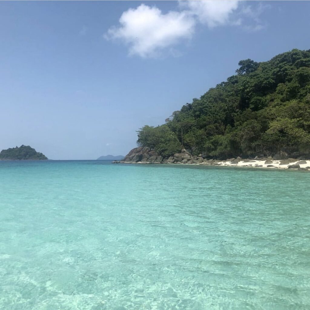
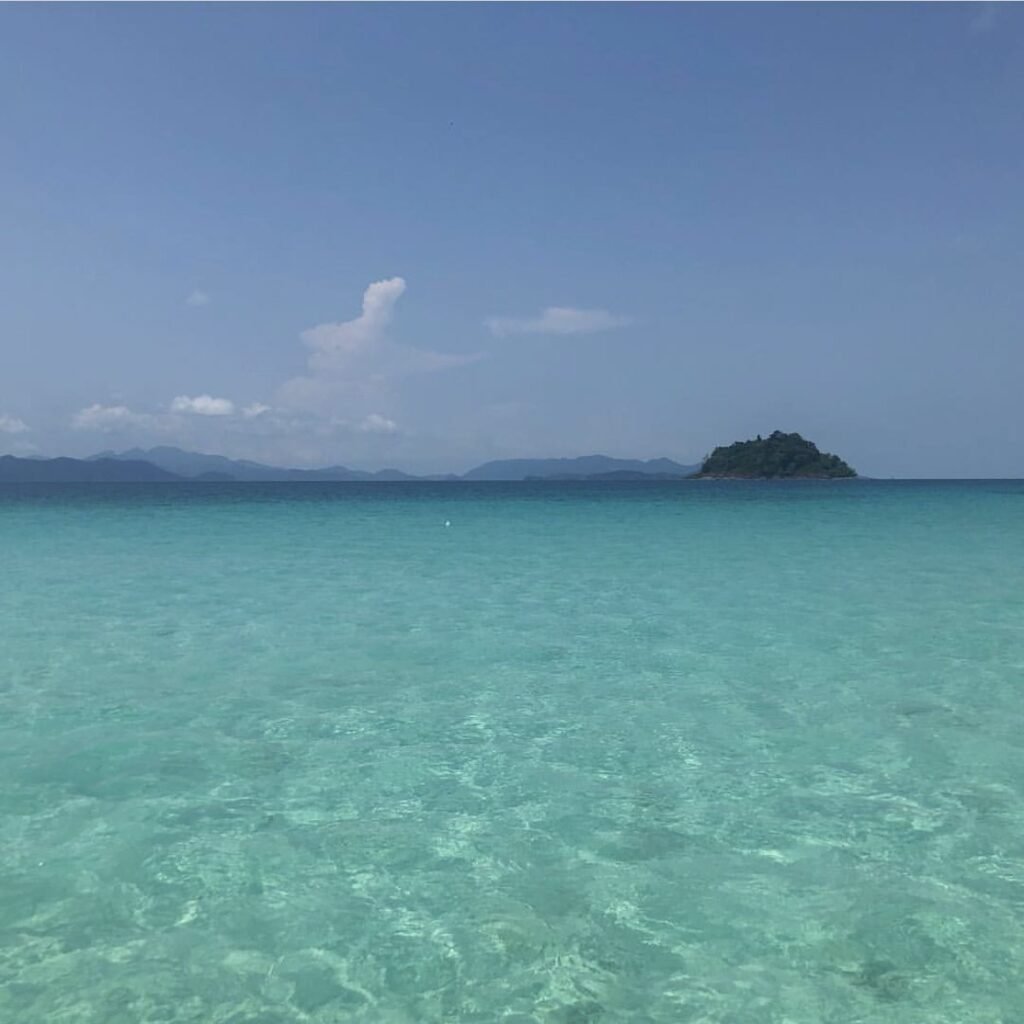
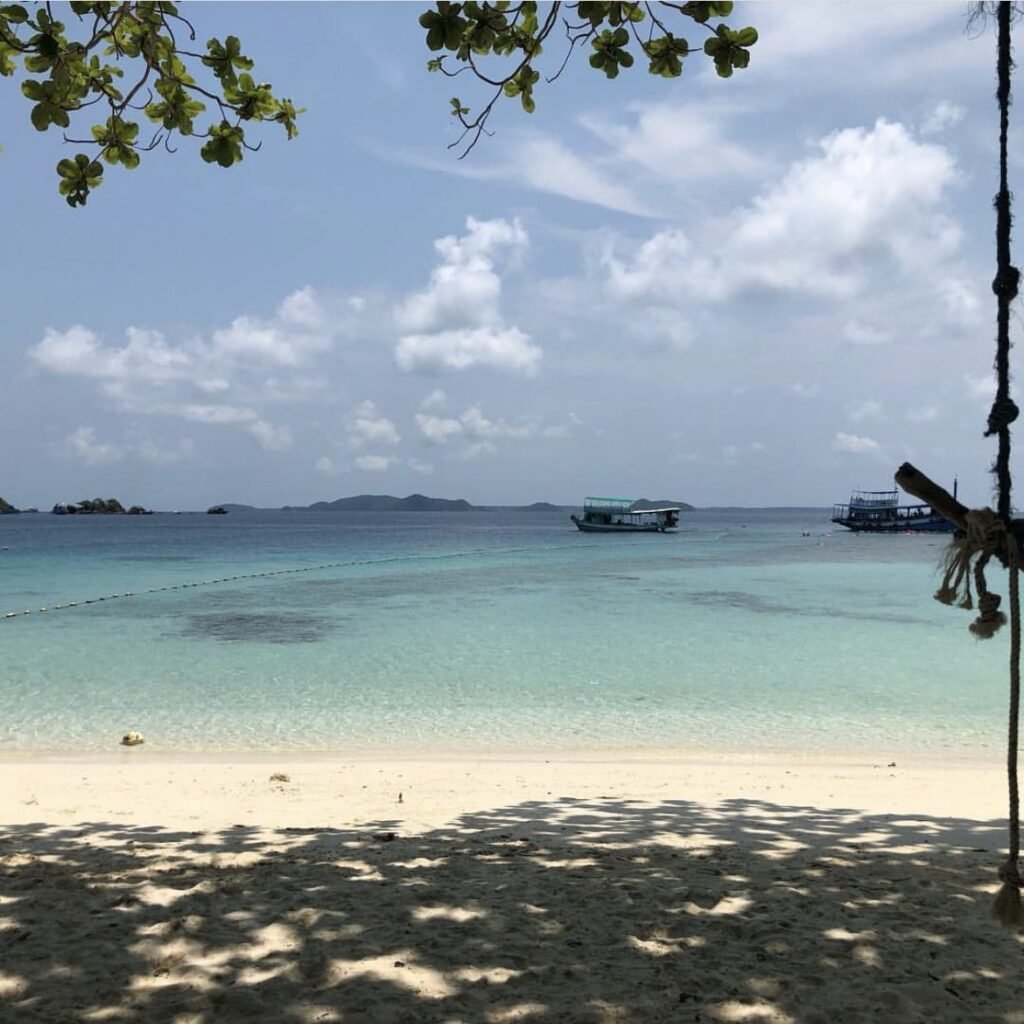
Some of the best snorkelling and diving in the province. This group of small islands inside Mu Ko Chang National Park includes Koh Rang, Koh Rang Lek, Koh Yak Lek and Koh Yak Yai, and Koh Yak Lek has the best shallow reef.
Day trips run from Koh Kood, Koh Mak and Koh Chang. From Koh Kood the boat ride is only about 20 minutes, so it is an easy day if you’re staying there.
- Attraction Type
- Marine park and snorkelling
- Location
- Open in Google Maps
- Cost
- 200 THB for foreigners, 40 THB for Thais (Mu Ko Chang National Park fee); tours from around 600 THB
- Best Time To Visit
- November to early May
- Opening Hours
- 8am – 5pm
- How To Get There
- About 20 minutes by boat from Koh Kood, 45 minutes from Koh Mak
- What to Pack
- Reef-safe sunscreen and a rash guard
Koh Mak and Koh Wai
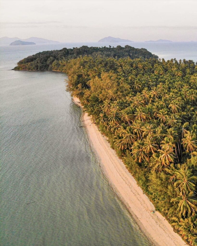
Between Koh Chang and Koh Kood lie a handful of smaller islands with no cars, few roads and some of the calmest water in Trat. They are for swimming, snorkelling and cycling. Boats from Laem Ngop and Laem Sok serve them all year, but services are reduced from May to October.




18Koh Mak
A small, flat island of coconut and rubber plantations, best explored by bicycle. Koh Mak has set out to become Thailand’s first low-carbon destination, and visitors cannot bring cars.
Ao Suan Yai on the north-west coast has the longest stretch of sand and faces Koh Chang, with the Cococape resort and its long jetty at its western end. Ao Kao in the south-west is the most developed bay. Nightlife means casual beach bars like I-Talay. Bring cash: ATMs are limited.
- Attraction Type
- Island
- Location
- Open in Google Maps
- Cost
- Free
- Best Time To Visit
- November to April
- How To Get There
- Koh Mak Ferry from Laem Ngop (about 1 hour, all year) or speedboats from Laem Sok
- What to Pack
- Cash; ATMs are limited




19Koh Kham
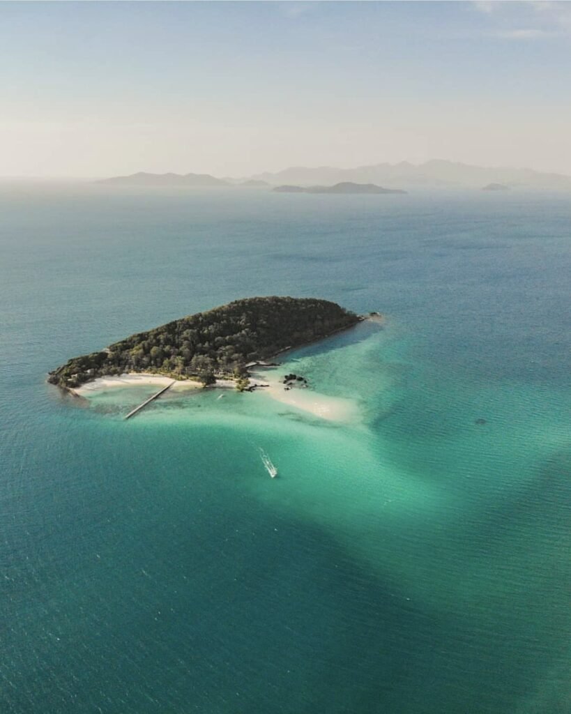
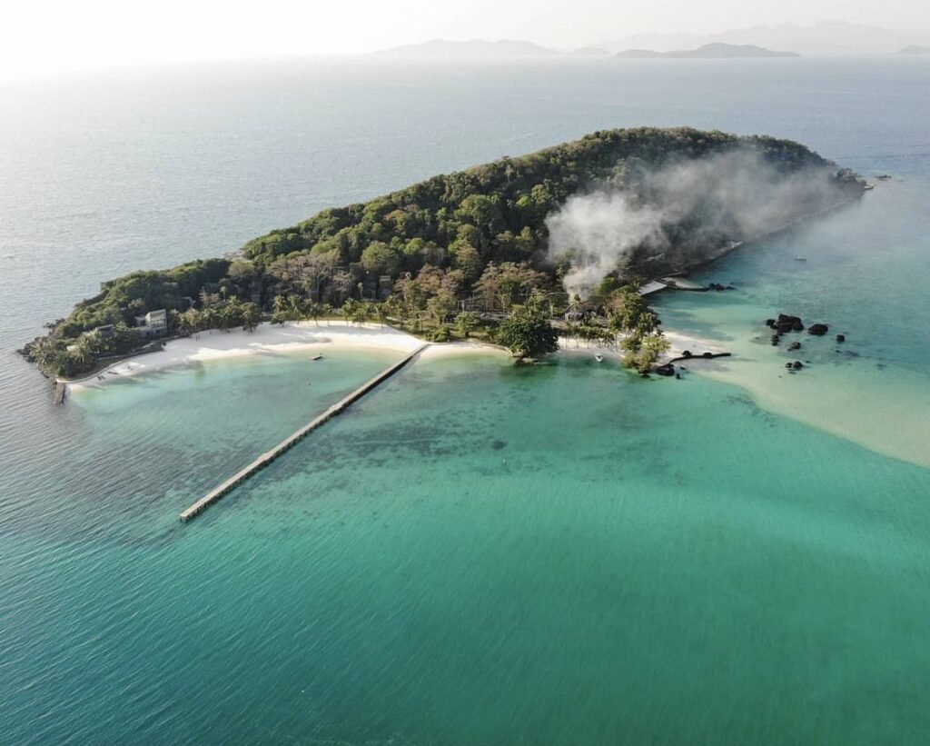
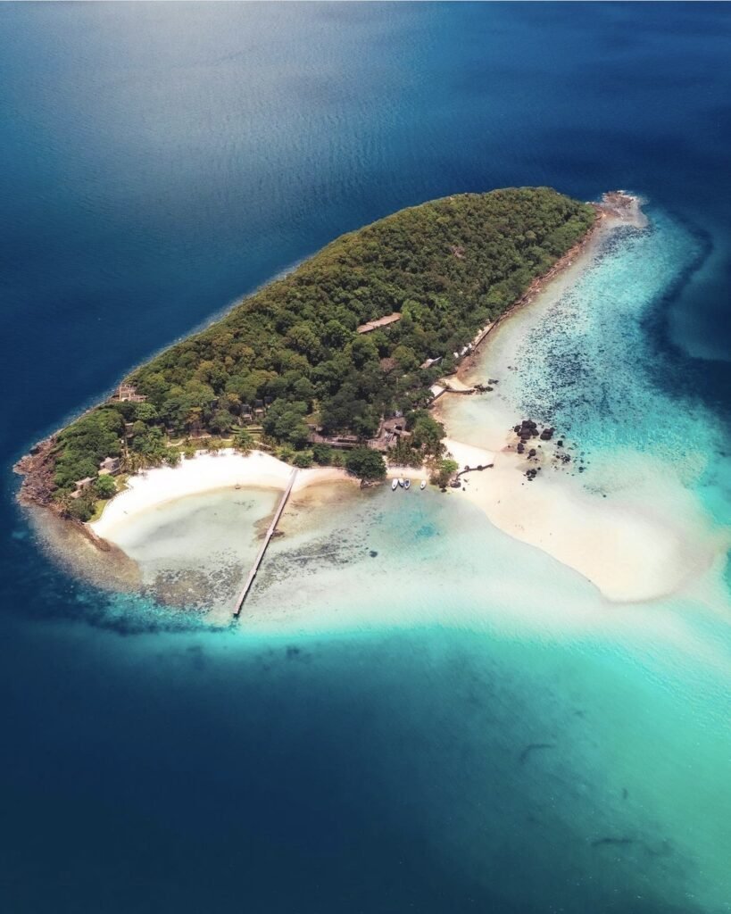
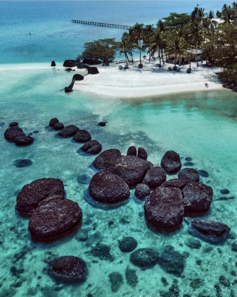
A tiny island about a kilometre off Koh Mak’s north coast with powder-white beaches and clear water. A luxury resort here was left unfinished more than a decade ago, but day visitors still come for the beaches and snorkelling, and the entry fee includes a drink.
Take the boat from Ao Suan Yai, or kayak across in about 20 to 30 minutes. Bring repellent for the sandflies.
- Attraction Type
- Island
- Location
- Open in Google Maps
- Cost
- 200 THB island entry (includes a drink), plus about 300 THB return by longtail (check before you go)
- Best Time To Visit
- November to April
- How To Get There
- Boats leave from the Koh Mak Resort pier on Ao Suan Yai (10.30am, 1.30pm and 3pm)
- Opening Hours
- Daily, 09:00 to 16:00
- What to Pack
- Insect repellent for sandflies

20Koh Wai
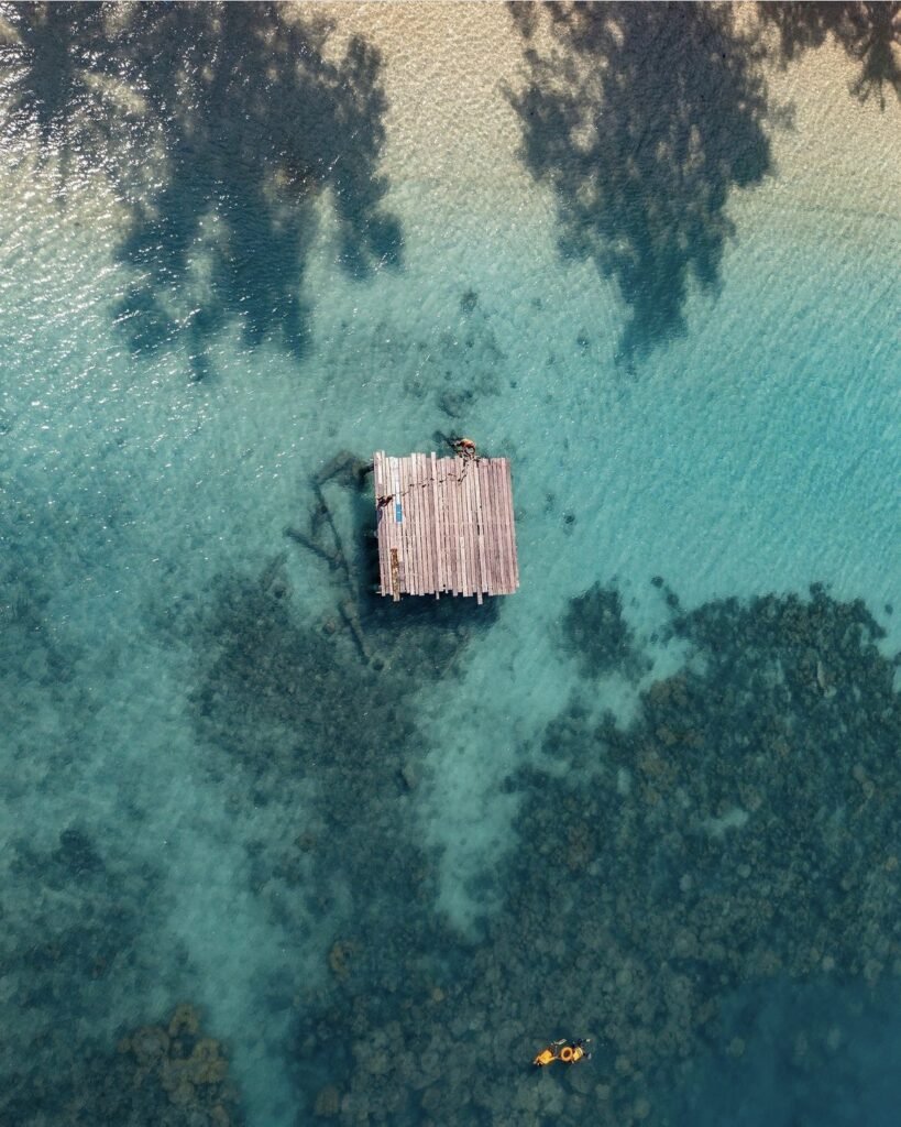
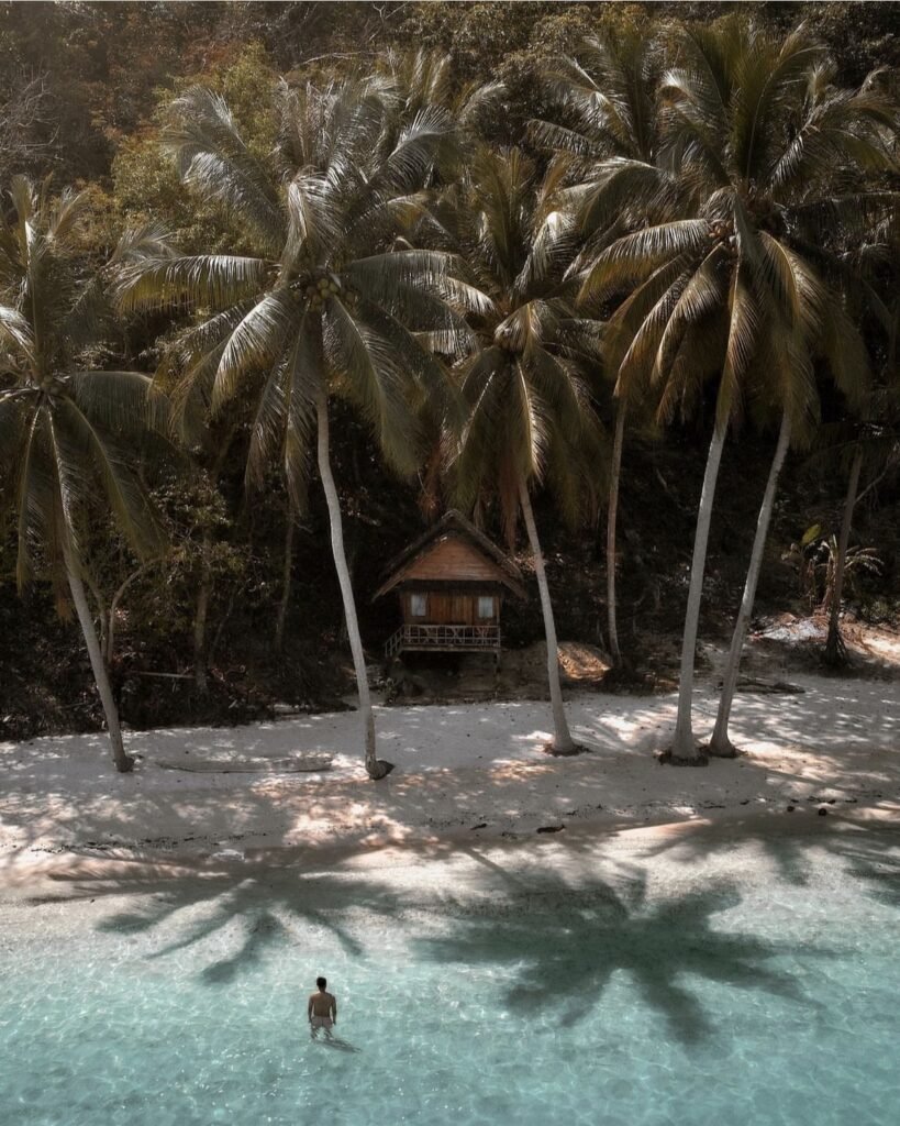
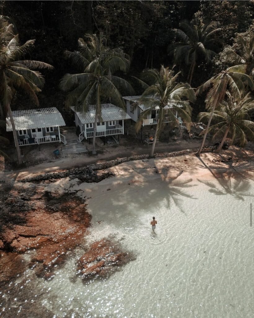
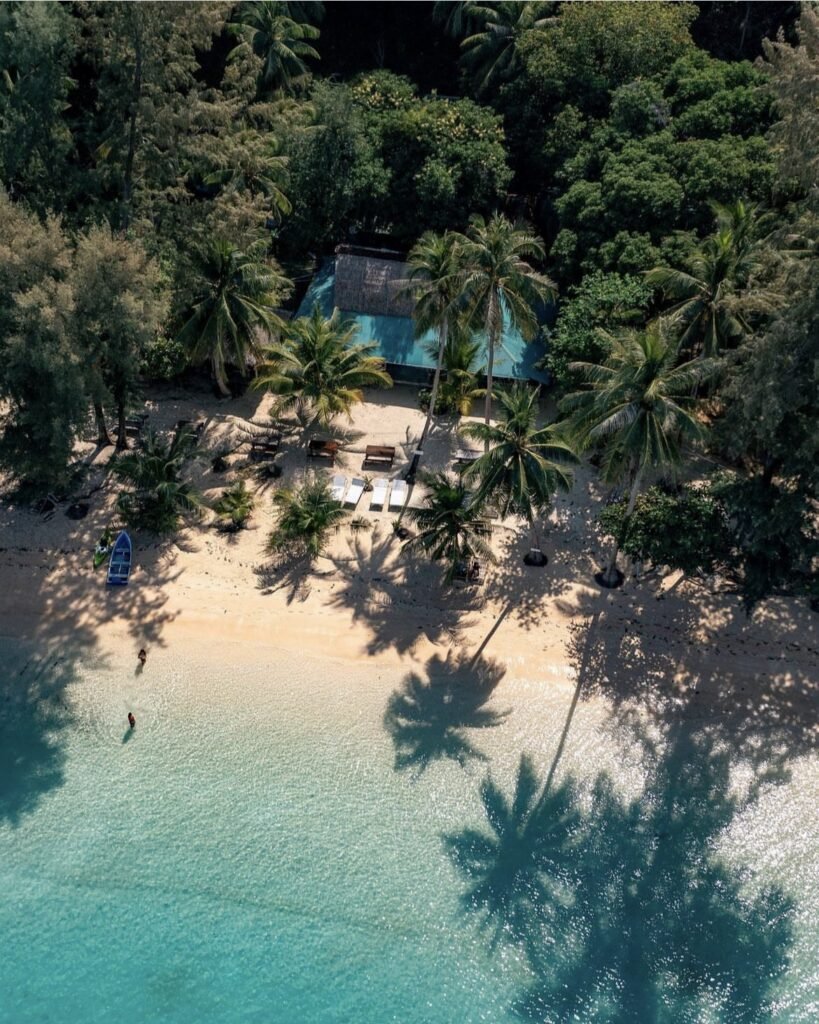
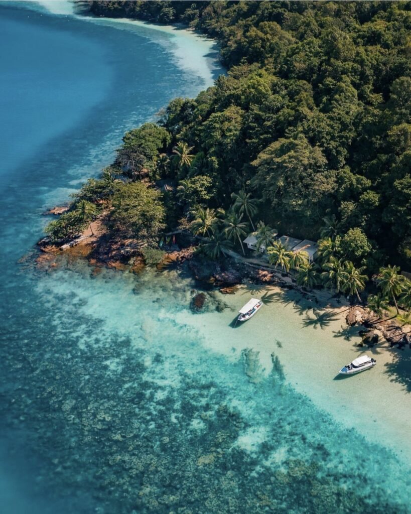
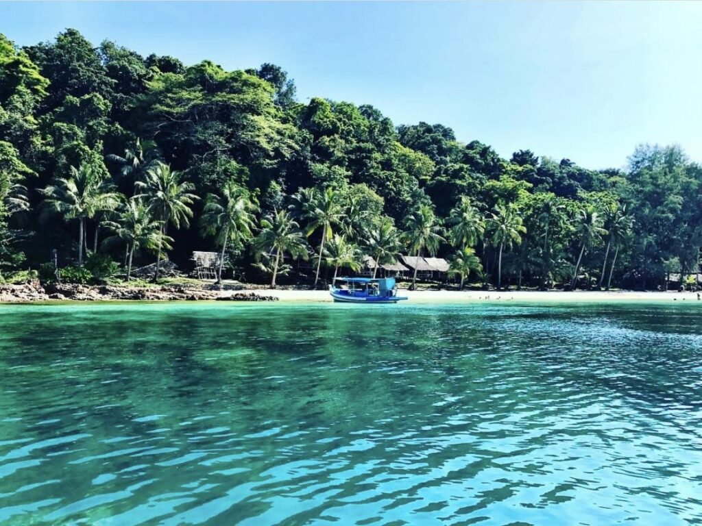
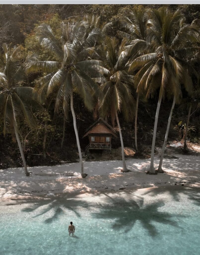
Koh Wai is a small, jungly island between Koh Chang and Koh Mak with coral just offshore and a few simple bungalow resorts, some with electricity only in the evening. Day-trippers arrive around midday, so stay the night to have it to yourself once they leave.
Koh Wai Paradise has the island’s most photographed beach, with bungalows sitting just above the water. Bring cash and a torch.
- Attraction Type
- Island
- Location
- Open in Google Maps
- Cost
- Free
- Best Time To Visit
- November to April; day trips from Koh Chang do not run May to October
- How To Get There
- Koh Wai Paradise speedboat from Laem Ngop (about 30 minutes, 450 THB), or day trips from Bang Bao
- What to Pack
- Cash, a torch and snorkel gear
Mainland Trat
Most people pass straight through mainland Trat on the way to the islands, but it rewards a night or two. Trat town has a lively market, and Laem Ngop, the gateway to Koh Mak and Koh Wai, has enough to fill the time before your boat.

21Laem Ngop
The small port where many island boats leave, with enough nearby to fill a wait. Just before the pier, the Yutthanawi Memorial honours the sailors who died in the naval battle off Koh Chang in 1941, with a museum built in the shape of a warship.
Nearby Ban Nam Chiao is a riverside community where Buddhist, Muslim and Thai-Chinese families live side by side, known for its woven ngob hats and mangrove boat trips. Before you board, note that the nearest toilets are at the land end of the long pier, several minutes’ walk away, and cost about 10 THB.
- Attraction Type
- Port town and memorial
- Location
- Open in Google Maps
- Cost
- Free
- Best Time To Visit
- Before catching a boat
- Number
- 087 641 7641
- How To Get There
- About 16 km (20 minutes) from Trat town
- What to Pack
- Small change for the songthaew
Created by
 Arm Palakorn@armypalakorn
 Jan De Rycke@janderycke
 Will Fearon@asiaandbeyond
 Floris@florisgone
 Rung Boriwat@sunny_rung
 Shayan Naveed@shayanadventures
 Ittipoom Promma@koalamarty
- Sattayakoon Traikaew@lostinmyway_3
 Ittit Somboonsin@tchob_tchob
 Luke Yeung@luke.outside
- Natapong Notjustnut@not.just.nut
 Kiattisak Masim@k.masimmmm
 Alvaro Garcia Gallego@alvarogarciagallego
 Dima Trionix@dima_trionix
 Brent Burns@brentburns
 Stephane Noiret@explore_with_stephane
 James@all_around_thailand
 Tobi Schoepflin@tobischoepflin
