Tak runs along the Myanmar border and is one of Thailand's least visited provinces, and one of its wildest. Almost everyone who comes is heading for Umphang in the far south: a remote valley of Karen villages at the end of a mountain road with more than a thousand curves, home to Thi Lo Su waterfall and misty ridges that are made for sunrise hikes.
Mae Sot, the border town, is the gateway. Buses from Bangkok's Mo Chit take 8 to 11 hours, or you can fly from Don Mueang in just over an hour. From Mae Sot, songthaews run to Umphang hourly until 2pm.
November to February is cool and clear, with the best views. For Thi Lo Su at full flow, go from October to December. Avoid the rainy season if you can: Highway 1090 is prone to landslides.
Suggested route. Fly or bus to Mae Sot and see the Blue Cave, about 40 minutes out of town off Highway 1090. Songthaews to Umphang run only until 2pm and take 4 to 6 hours, so leave enough time to reach Umphang the same day. Give the next morning to Doi Hua Mot for sunrise, then a day to Thi Lo Su. If you have time and energy, add the guided overnight trek to Doi Ma Muang Sam Muen and the Heart-Shaped Waterfall.
How we chose these spots. Apart from the Blue Cave near Mae Sot, this guide concentrates on Umphang, the part of Tak most travellers come for.
Good to know
- Tourist Police: 1155
- Emergency (ambulance): 1669
- TAT Tak: 055 514 341
- Thi Lo Su reopening and fees (Thairath, Aug 2026)


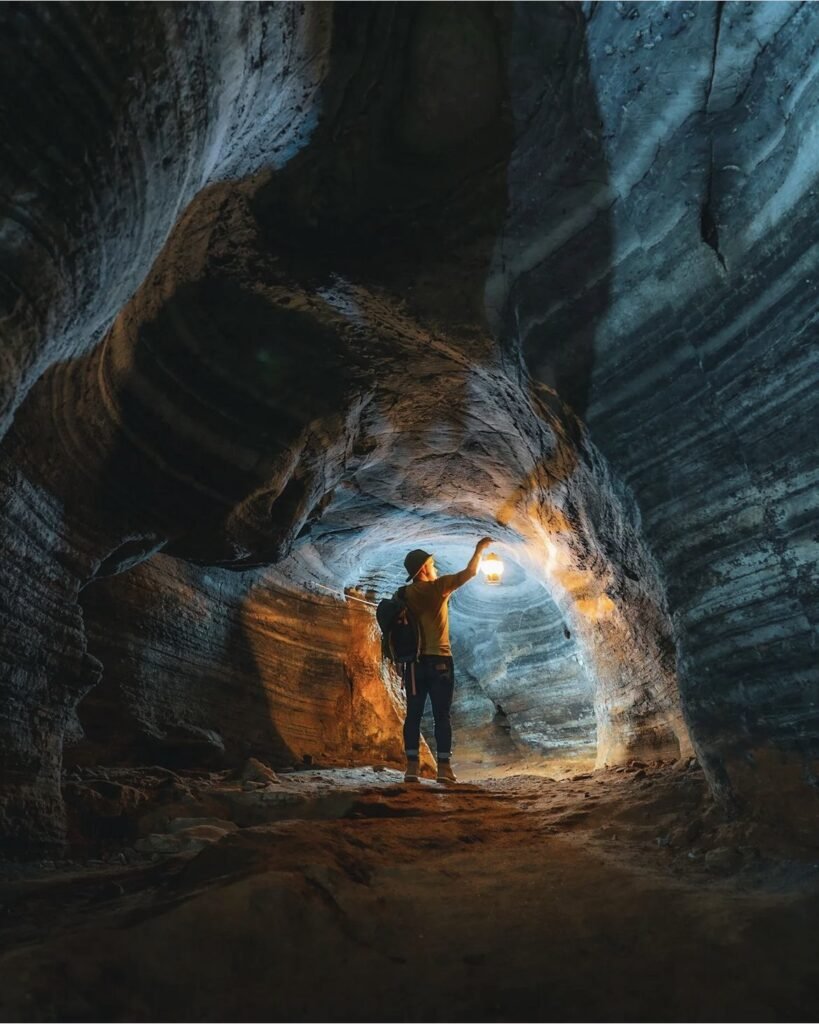
01Blue Cave (Tham Si Fa)
A short cave, about 100 metres long, in the grounds of a monastery outside Mae Sot, with rock walls that glow an unusual blue-grey. Set your expectations: the blue is subtler than the photos online suggest, you’ll have to stoop through low sections where bats roost, and the smell of droppings is strong. Bring a torch and wear shoes with grip, as the floor can be slippery.
- Attraction Type
- Cave
- Location
- Open in Google Maps
- Cost
- Free
- Best Time To Visit
- Any time; mornings are quietest
- Opening Hours
- Daily, 08:00 to 17:00
- How To Get There
- About 40 minutes from Mae Sot, via Highway 1090 towards Phop Phra and then 6 km following signs
- What to Pack
- Torch and non-slip shoes
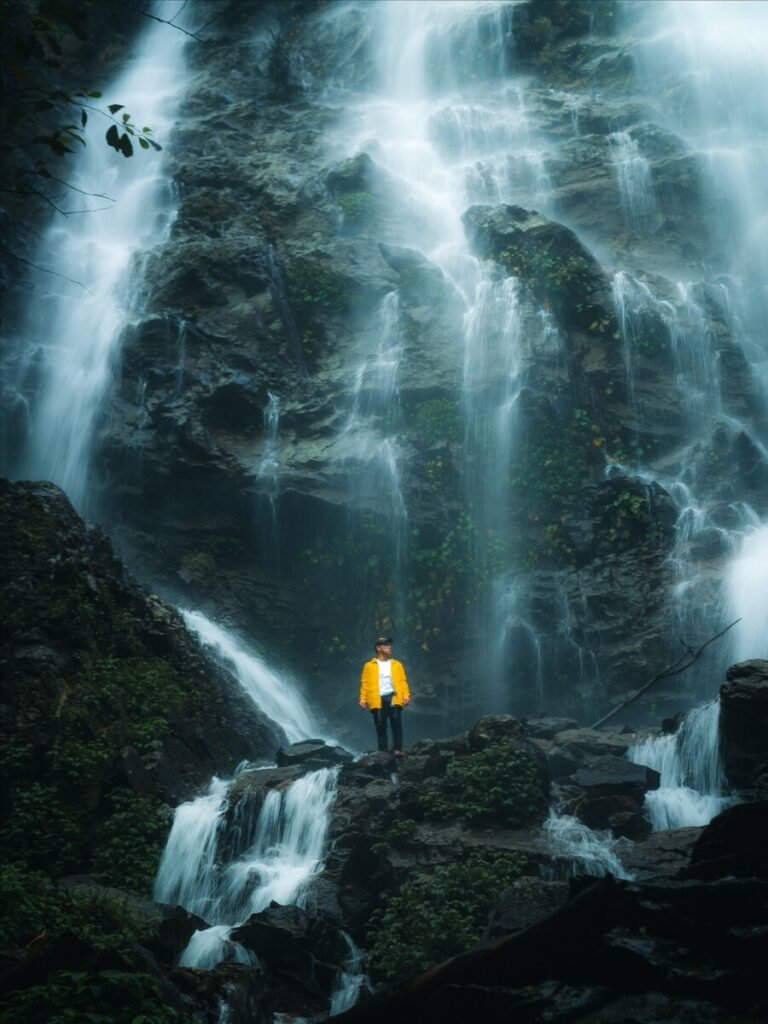
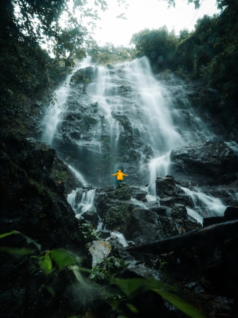
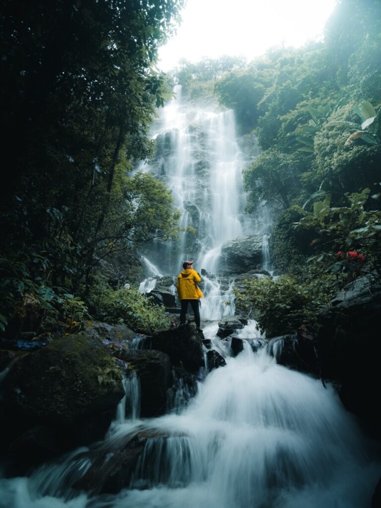
02Khun Huai Khi Thoe Waterfall
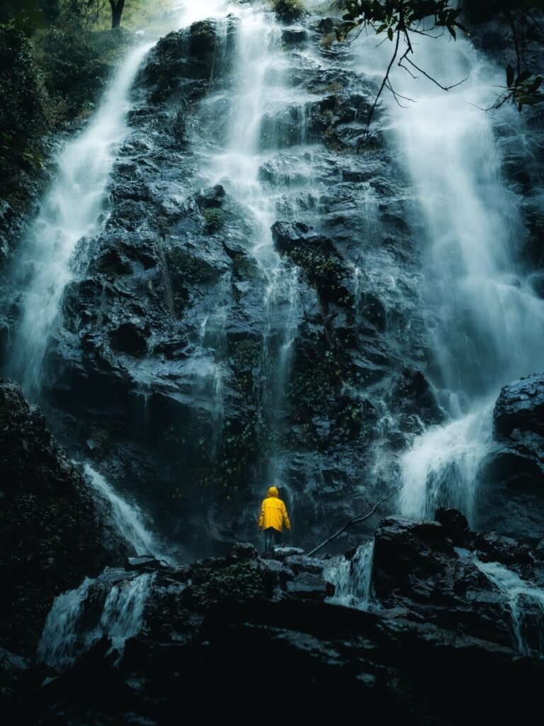
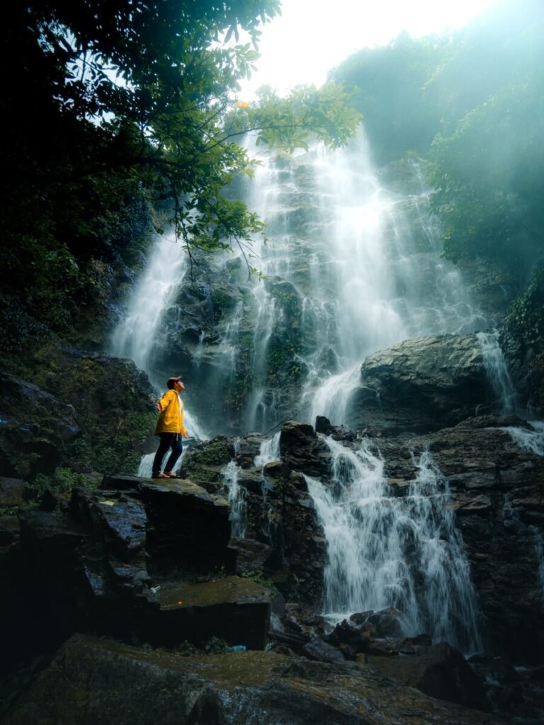
Khun Huai Khi Thoe Waterfall (น้ำตกขุนห้วยขี้เท่อ) is a broad forest waterfall in Khanecho subdistrict, Mae Ramat district. It is not an official attraction, so there are no signs, facilities or crowds, just several streams spreading across a wide wall of dark rock.
The drive is on narrow, winding hill roads with steep climbs and drops; a 4×4 is not essential but drive slowly and in daylight. From the parking spot, walk through a corn field and forest for about 30 minutes (around 700 m to 1 km), with mud, stream crossings and fallen trees. There is no phone signal or shop, so download offline maps, bring food and water, and wear grippy shoes. It is fullest in the rainy season, when you should keep well back from the rocks.
- Attraction Type
- Waterfall
- Location
- Open in Google Maps
- Cost
- No fee reported (check before you go)
- Opening Hours
- No set hours; visit in daylight
- Best Time To Visit
- July to October for full flow; go in the morning
- How To Get There
- From Mae Ramat town drive into Khanecho subdistrict on hill roads (no signs; use offline maps or ask locally), park, then walk about 30 minutes. Own car or motorbike needed.

03Pa Mak Waterfall
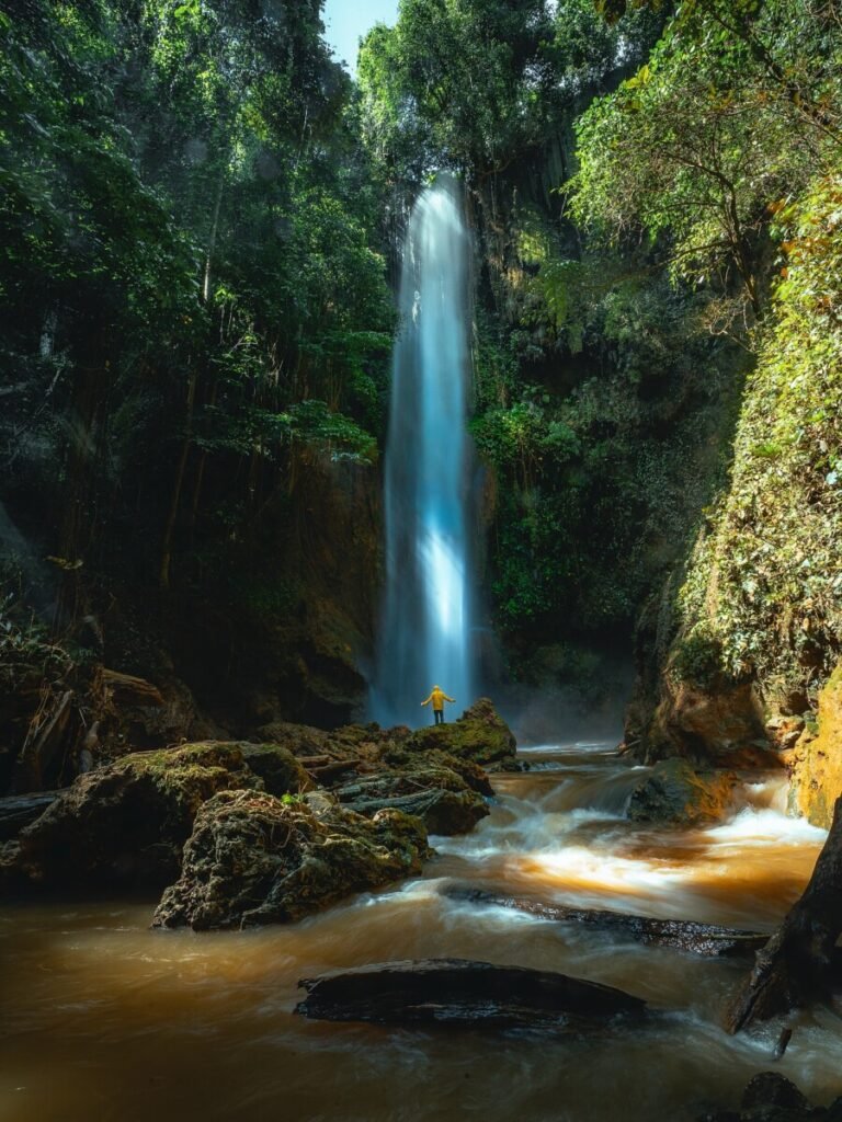
Pa Mak Waterfall (น้ำตกป่าหมาก), also known as Thi Lo Pho Waterfall, is a little-known fall deep in the forest of Mae Ramat district. A tall drop runs through a mossy gorge into a clear pool shallow enough to wade in, and there is a cave beside the falls where water emerges.
This one takes effort. Map apps only reach Ban Tin That; after that it is over 15 km of unsigned concrete and dirt track with steep bends, cliff edges and stretches along the streambed, with no phone signal. A high-clearance vehicle is sensible. From the parking area you walk through corn fields, then down a very steep, slippery trail and back up. Hiring a local guide is strongly advised. Bring food, water and gloves, and avoid it after heavy rain.
- Attraction Type
- Waterfall
- Location
- Open in Google Maps
- Cost
- No fee reported; local guide fee extra (check before you go)
- Opening Hours
- No set hours; daylight only
- Best Time To Visit
- November to February, after the rains but with water still flowing (check before you go)
- How To Get There
- From Mae Ramat town head to Ban Tin That, then over 15 km on unsigned concrete and dirt tracks; park and walk through fields and down a steep trail. A local guide or 4×4 is recommended.
Umphang
Umphang sits against the Myanmar border in one of the most remote corners of Thailand. From Mae Sot it’s 164 km on Highway 1090, famous for its 1,219 curves. Songthaews make the trip hourly from 7am to 2pm and take 4 to 6 hours, so take motion-sickness tablets and don’t plan to do anything else that day. Base yourself in Umphang town: the operators for Thi Lo Su and the treks are here, and Doi Hua Mot is close by. The reward is Karen villages, misty ridges and some of the country’s biggest waterfalls.




04Thi Lo Su Waterfall
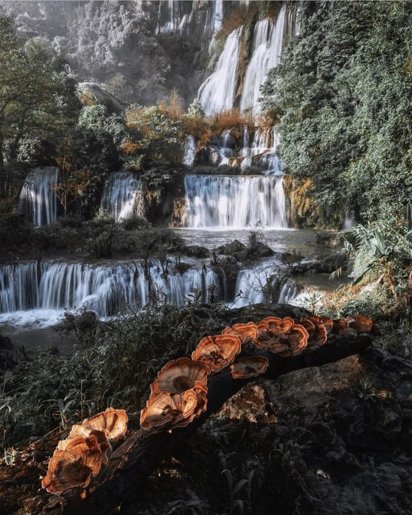
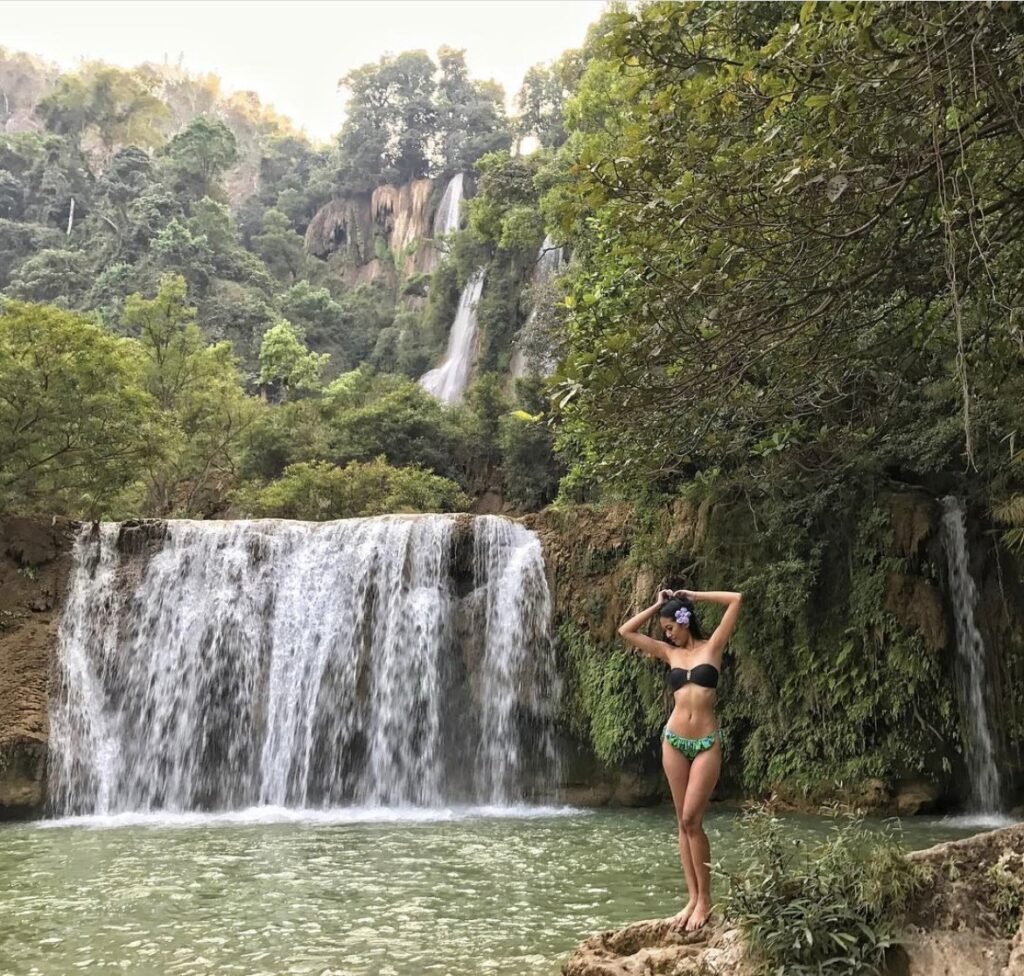
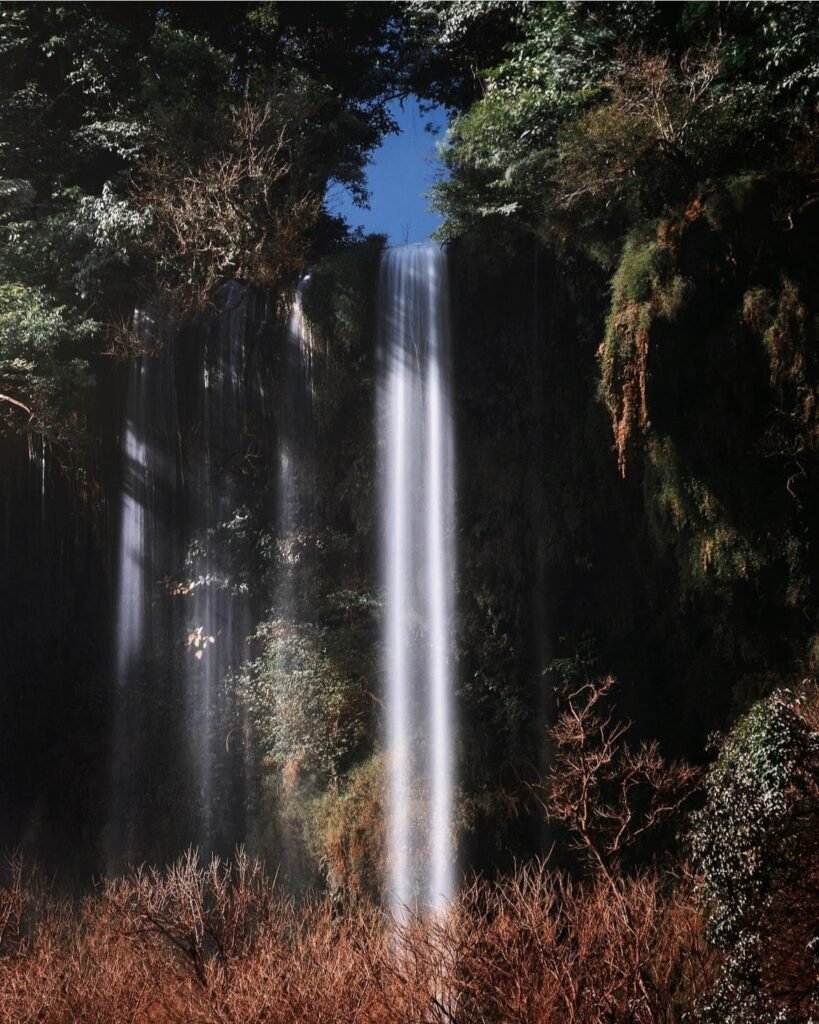
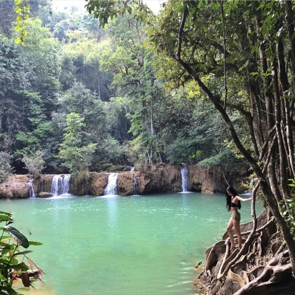
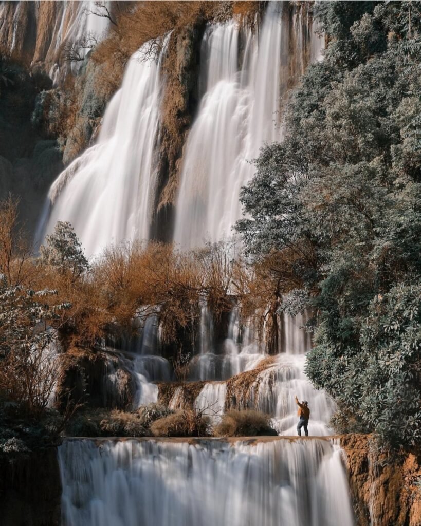
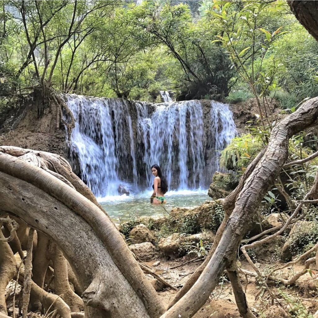
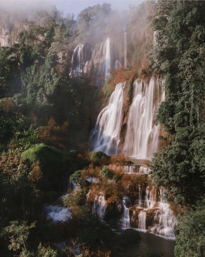
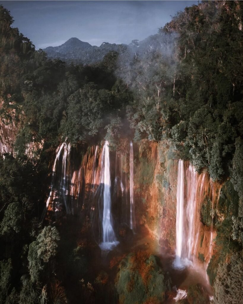
Often called Thailand’s largest waterfall, Thi Lo Su pours down a cliff about 450 metres wide and about 250 metres high deep inside the Umphang Wildlife Sanctuary. Its Karen name means black waterfall.
Getting there is a commitment. The last stretch is by sanctuary-registered 4WD pickup, and in the wet season many visitors come by raft on the Mae Klong river and a jungle trek instead, arranged through operators in Umphang. Either way it takes hours each way, and most reviewers say it is only really worth it when the river is running high, so time your trip for October to December.
The waterfall reopened on 1 September 2026 after its rainy-season closure. Day visitors must reach the ticket office before 2pm, and overnight stays need permission in advance. Leave single-use plastic behind.
- Attraction Type
- Waterfall and wildlife sanctuary
- Location
- Open in Google Maps
- Cost
- 400 THB for foreigners, 30 THB for Thais, plus 60 THB per vehicle
- Best Time To Visit
- October to December, for full flow and drier roads
- Opening Hours
- Daily, 08:00 to 14:00 for entry at the sanctuary ticket office
- Number
- 065 002 7637
- How To Get There
- Umphang town, then about 50 km by registered 4WD, or a raft and trek tour
- What to Pack
- Rain gear, trekking shoes, no single-use plastic
- Good to Know
- Foreigners pay 400 THB, and the rough access takes hours each way, so most reviewers say it is only worth it when the river is running high.

05Doi Hua Mot
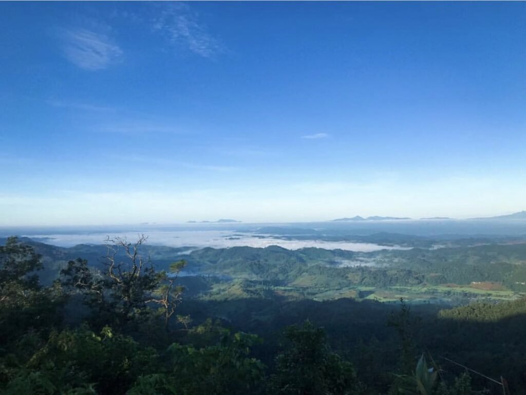
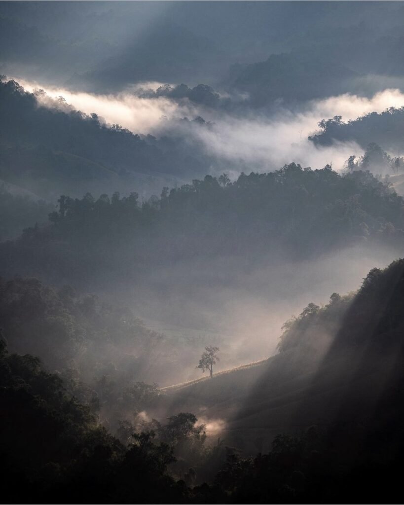
Doi Hua Mot is a long, bald limestone ridge about 10 km from town, looking out over a sea of mist. From the car park near km 10 on the road to Ban Pa La Tha it’s a short walk to the viewpoint, or a 20-minute climb from further down.
Be there well before sunrise, between 05:00 and 06:00. The final climb is steep, rocky and slippery, so bring a torch and wear proper shoes.
- Attraction Type
- Sunrise viewpoint
- Location
- Open in Google Maps
- Cost
- Free
- Best Time To Visit
- October to December for the sea of mist, November to February for clear skies; 05:00 to 06:00
- How To Get There
- Drive about 10 km from Umphang on the road to Ban Pa La Tha
- What to Pack
- Torch, jacket and grippy shoes


06Doi Ma Muang Sam Muen
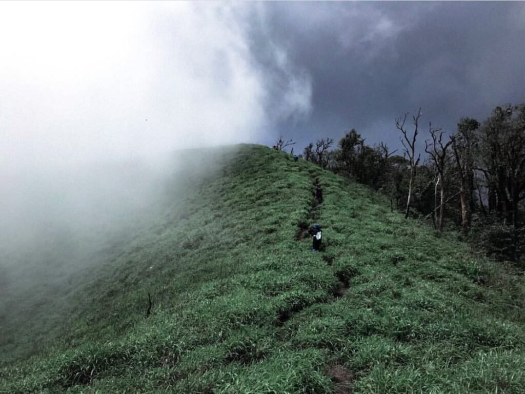
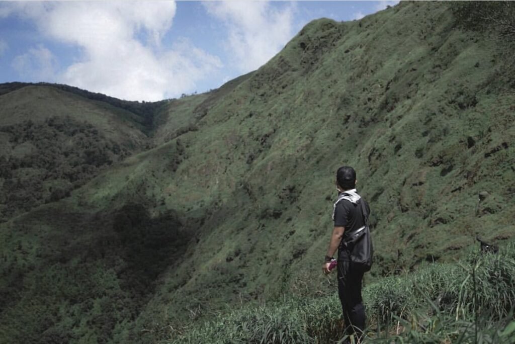
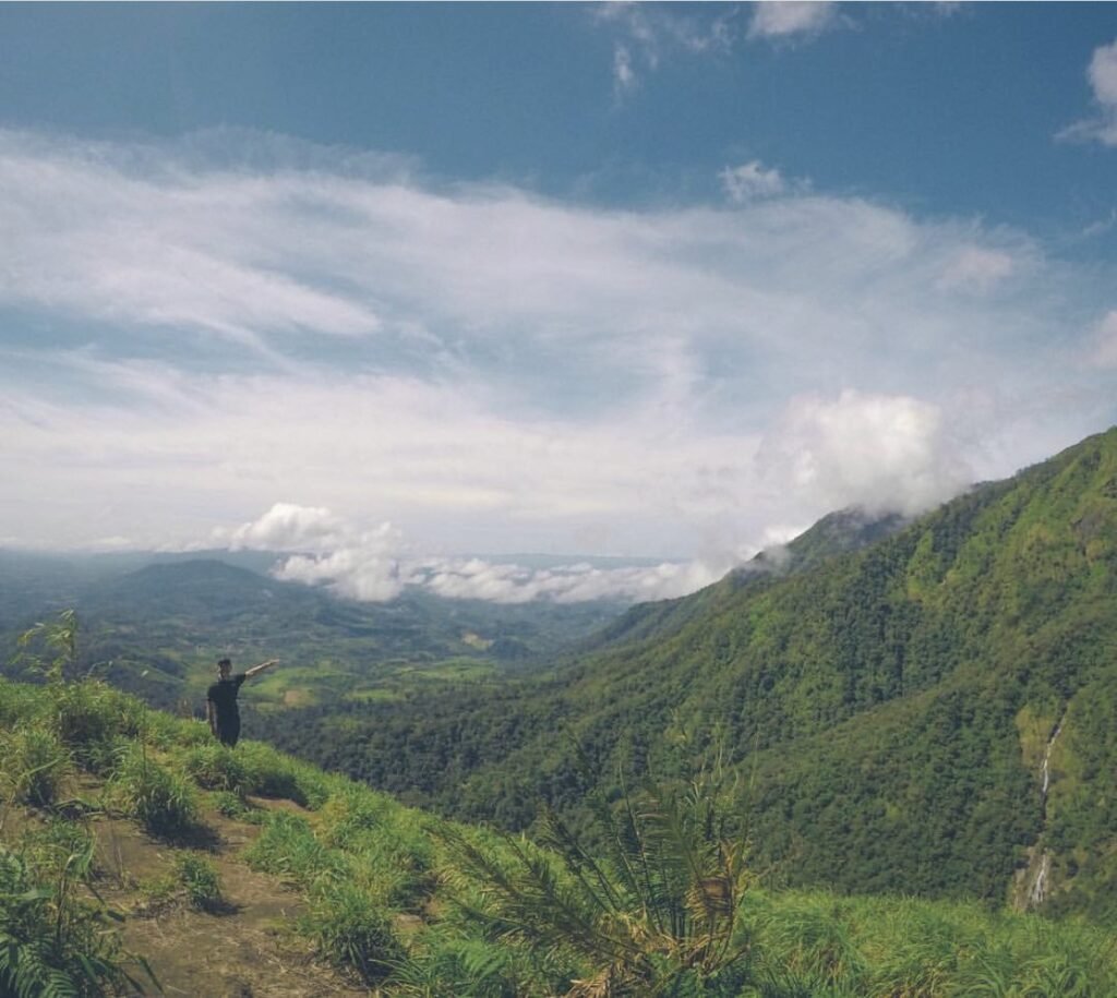
For serious hikers only: a tough trek of 4 to 5 hours up to grassy ridges with huge views over the border mountains, in Umphang’s Mae Chan subdistrict. Most people camp on top. The Karen village of Ban Kui Lo Tor manages the trek, you’ll need a local guide, and there’s no phone signal. Pair it with the Heart-Shaped Waterfall, which is on the same trek.
- Attraction Type
- Trek and camping
- Location
- Open in Google Maps
- Cost
- Check with the village for guide and camping fees
- Best Time To Visit
- November to February for views
- How To Get There
- Arrange a guide through Ban Kui Lo Tor or an Umphang operator
- What to Pack
- Camping gear, warm layers and plenty of water

07The Heart-Shaped Waterfall
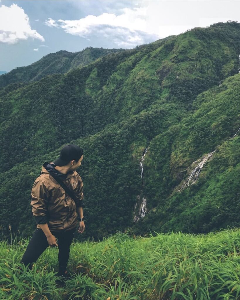
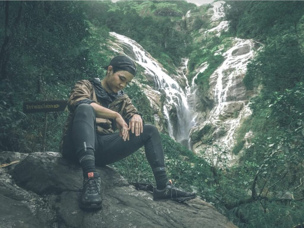
A remote waterfall near Doi Ma Muang Sam Muen, known locally as Pe Do Lo Su, which spills over the forest cliffs in the shape of a heart. You reach it on the same guided trek: about 4 to 5 km on foot from the village to the base camp, then roughly 2 km more to the falls.
The heart only shows properly when the water is high, from July to October, which is also when the trail is slippery after rain.
- Attraction Type
- Waterfall
- Location
- Open in Google Maps
- Cost
- Included with a guided trek
- Best Time To Visit
- July to October
- How To Get There
- On the guided trek to Doi Ma Muang Sam Muen
- What to Pack
- Rain gear and grippy shoes